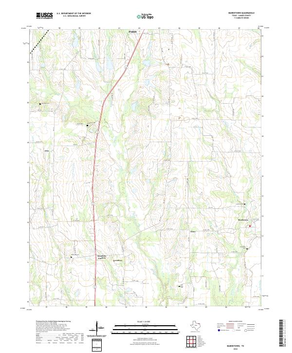
2022 Map of Biardstown
USGS Topo · Published 2022About this map
Biardstown and the surrounding rural communities of southern Lamar County are captured here in a period of modern agricultural continuity. Small settlements like Glory and Atlas anchor the landscape, while the junction of farm roads and state routes facilitates the movement of local goods near the southern outskirts of Paris. The terrain is defined by a dense network of drainage systems, including Auds Cr and Hickory Cr, which carve through the plains.
Find a feature on this map
73 named features on this map. Tap any name to fly to it.
Don’t see what you’re looking for? This feature index may not catch every label — zoom into the map to look around manually.
Map Details
Editions of this 2022 Biardstown Map
This is the sole edition of this map. No revisions or reprints were ever made.
Historical Maps of Paris Through Time
18 maps found
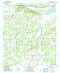
1951 Slate Shoals
Lamar County, TX
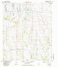
1951 Woodland
Lamar County, TX
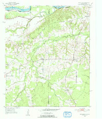
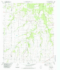
1963 Minter
Lamar County, TX
1964 Pattonville
Lamar County, TX
1980 Direct
Lamar County, TX
1980 Pat Mayse Lake East
Lamar County, TX
1980 Pat Mayse Lake West
Lamar County, TX
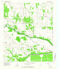
1984 Biardstown
Lamar County, TX
1984 Tigertown
Lamar County, TX
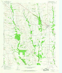
2022 Biardstown
Lamar County, TX
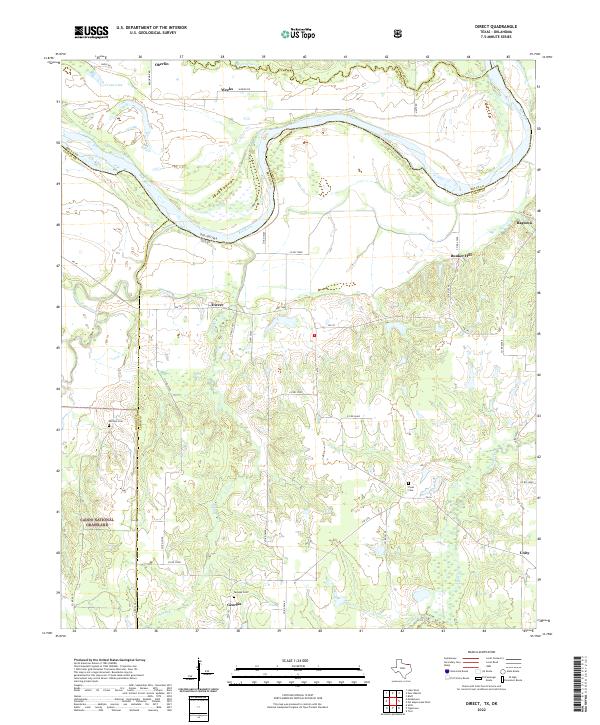
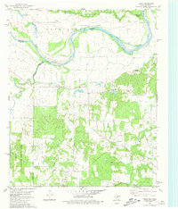
2022 Direct
Lamar County, TX
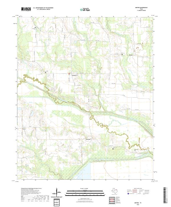
2022 Minter
Lamar County, TX
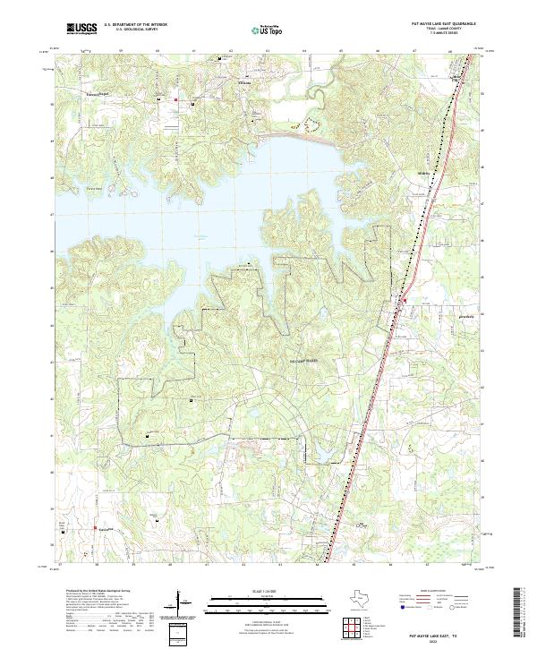
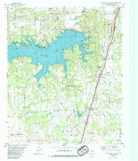
2022 Pat Mayse Lake East
Lamar County, TX
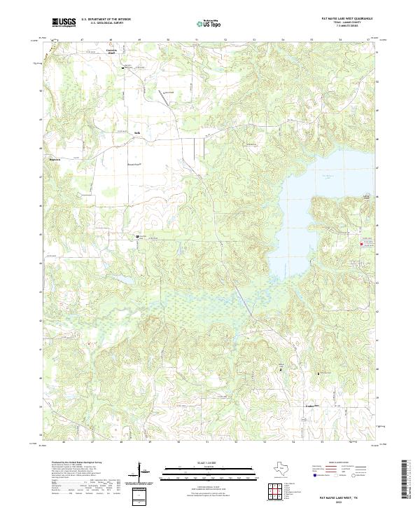
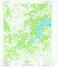
2022 Pat Mayse Lake West
Lamar County, TX
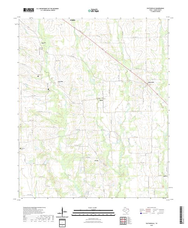
2022 Pattonville
Lamar County, TX
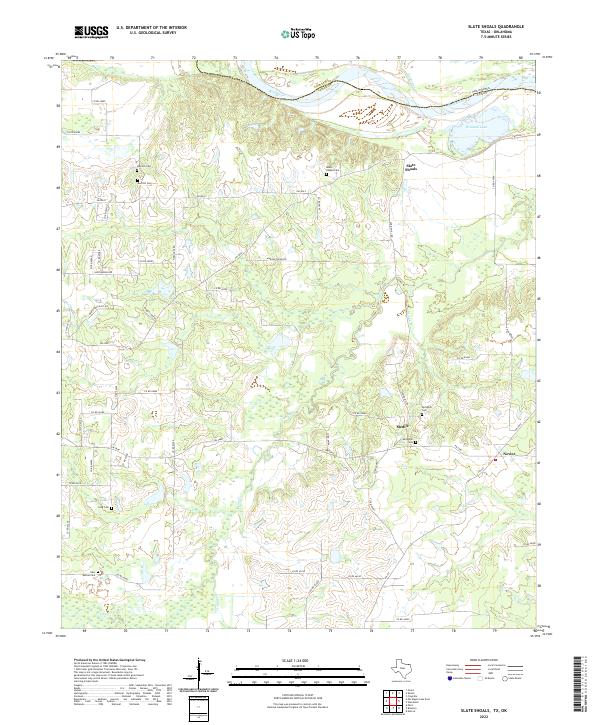
2022 Slate Shoals
Lamar County, TX
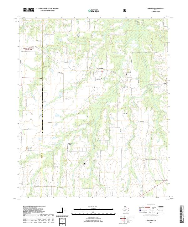
2022 Tigertown
Lamar County, TX
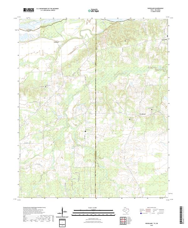
2022 Woodland
Lamar County, TX