Old Maps of Hardin, Texas for Metal Detecting
Plan your next treasure hunt with 25 historic maps of Hardin. Find old homesites, ghost towns, trails, and gathering spots that may be lost to time — perfect for identifying promising metal detecting locations.
- Locate forgotten sites: Uncover places like long-lost settlements, abandoned rail lines, or gathering spots.
- Plan better hunts: Use map overlays combined with LiDAR or satellite views to narrow in on historically rich areas.
- Made for detectorists: Thousands of hobbyists use these maps to discover relics, coins, and hidden history.
Use these historic maps to boost your research and find new opportunities beneath the surface of Hardin.
Hardin, TX maps
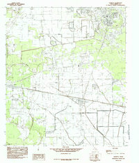
(25)- 1943 Map of Liberty
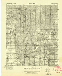 1943 Liberty1943 Print · USGSLiberty and the surrounding Big Thicket are documented here during the early twentieth-century boom in timber and oil. Researchers can locate vanished landmarks such as the Yellow School House, trace family lands like Mears Ranch, and follow the path of the Old Tram through the river bottomlands.
 - 1954 Map of Beaumont, 1964 Print
 1954 Beaumont1964 Print · USGSSoutheast Texas in the mid-fifties reveals a landscape of massive national forests, emerging reservoirs, and a booming oil economy. Genealogists and researchers can trace rural settlements like Dallardsville and Village Mills or locate early drilling sites at Sour Lake Oil Field.3 unique versions available
 - 1955 Map of Daisetta, 1956 Print
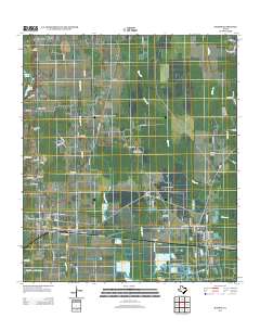
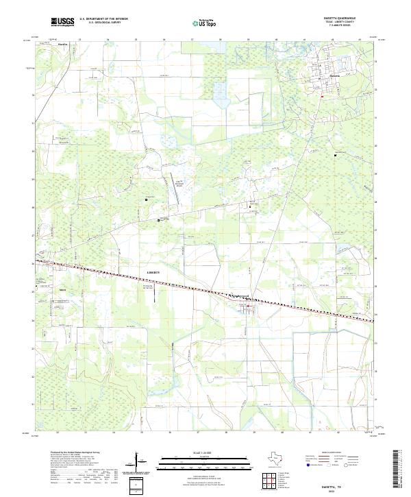
 1955 Daisetta1956 Print · USGSLiberty County was undergoing an industrial transition in the 1950s as oil fields and drainage canals reshaped the coastal prairie. Researchers can trace the development of salt dome operations near Daisetta or locate rural landmarks like Ames Cem and Sacred Heart Ch.3 unique versions available
 - 1955 Map of Liberty, 1957 Print
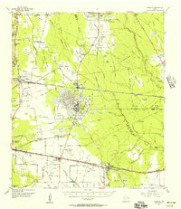
 1955 Liberty1957 Print · USGSLiberty and Dayton thrived at the crossroads of the Trinity River and major rail lines during the mid-fifties. Genealogists and historians can trace family landmarks like Magnolia Cem, Daniel Ranch, and schools like Colbert High Sch.2 unique versions available
 - 1957 Map of Beaumont
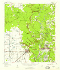
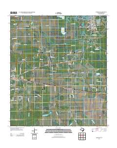
 1957 Beaumont1957 Print · USGSSoutheast Texas in the mid-fifties is defined by the timber-rich lands between the Trinity River and Beaumont. Trace the history of the Alabama and Coushatti Indian Reservation or locate early campus sites like Prairie View College.
 - 1984 Map of Beaumont
 1984 Beaumont1984 Print · USGSSoutheast Texas in the late seventies and early eighties shows a landscape of expanding reservoirs and deep timber industry. Researchers can trace the development of the Sam Houston National Forest or locate regional landmarks like Grabbs Prairie and the Wynne State Prison Farm.3 unique versions available
 - 1984 Map of Hardin, 1985 Print
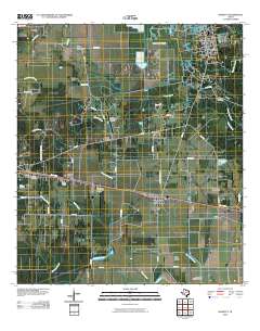
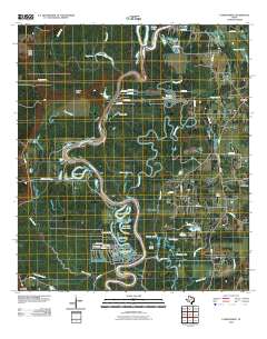
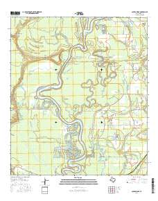
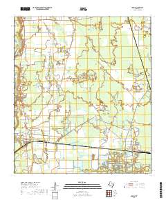
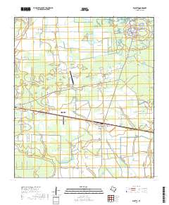
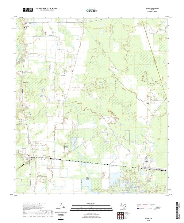
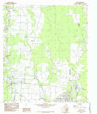 1984 Hardin1985 Print · USGSIn the mid-1980s, the oil-rich coastal plains of East Texas were a grid of industrial pipelines and rural settlements. Genealogists and researchers can trace the limits of Hardin, Hull, and the Tanner Settlement alongside the expansive Daisetta Swamp.
 - 1984 Map of Daisetta, 1985 Print
 1984 Daisetta1985 Print · USGSCoastal Texas industry and rural life meet in this mid-1980s survey of Liberty County. Researchers can trace the footprint of the local energy sector at the Oil Field or locate community landmarks like the Rodeo Ground and Cem.
 - 1984 Map of Capers Ridge, 1986 Print
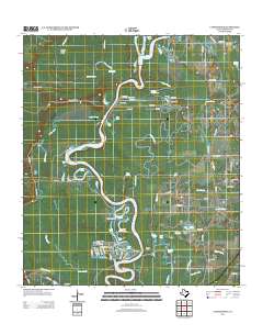
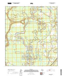
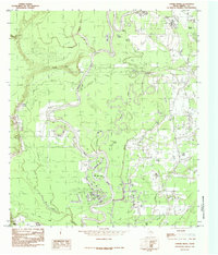 1984 Capers Ridge1986 Print · USGSThe Trinity River bottoms in the late seventies reveal a complex landscape of oxbow lakes and winding bayous. Genealogists and local historians can trace the geography around Knight, the Barrett Trail, and water bodies like New Old River Lake or Hardin Lake.
 - 1986 Map of Beaumont
 1986 Beaumont1986 Print · USGSThe East Texas piney woods and coastal prairies are captured here in the mid-eighties, a period of established energy production and conservation. Researchers can trace the industrial footprint of the Oil and Gas Field near Daisetta and Batson, or locate family sites at Graveyard Hill Cem.
 - 2010 Map of Daisetta, 2010 Print
 2010 Daisetta2010 Print · USGSCovers Hardin, including Liberty, Daisetta, and other nearby areas
 - 2010 Map of Hardin, 2010 Print
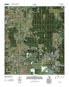 2010 Hardin2010 Print · USGSCovers Hardin, including Hull, Dowdel Settlement, and other nearby areas
 - 2010 Map of Capers Ridge, 2010 Print
 2010 Capers Ridge2010 Print · USGSCovers Hardin, including Kenefick, Dayton Lakes, and other nearby areas
 - 2013 Map of Capers Ridge, 2013 Print
 2013 Capers Ridge2013 Print · USGSCovers Hardin, including Kenefick, Dayton Lakes, and other nearby areas
 - 2013 Map of Daisetta, 2013 Print
 2013 Daisetta2013 Print · USGSCovers Hardin, including Liberty, Daisetta, and other nearby areas
 - 2013 Map of Hardin, 2013 Print
 2013 Hardin2013 Print · USGSCovers Hardin, including Hull, Dowdel Settlement, and other nearby areas
 - 2016 Map of Capers Ridge, 2016 Print
 2016 Capers Ridge2016 Print · USGSCovers Hardin, including Kenefick, Dayton Lakes, and other nearby areas
 - 2016 Map of Hardin, 2016 Print
 2016 Hardin2016 Print · USGSCovers Hardin, including Hull, Dowdel Settlement, and other nearby areas
 - 2016 Map of Daisetta, 2016 Print
 2016 Daisetta2016 Print · USGSCovers Hardin, including Liberty, Daisetta, and other nearby areas
 - 2019 Map of Hardin, 2019 Print
 2019 Hardin2019 Print · USGSCovers Hardin, including Hull, Dowdel Settlement, and other nearby areas
 - 2019 Map of Daisetta, 2019 Print
 2019 Daisetta2019 Print · USGSCovers Hardin, including Liberty, Daisetta, and other nearby areas
 - 2019 Map of Capers Ridge, 2019 Print
 2019 Capers Ridge2019 Print · USGSCovers Hardin, including Kenefick, Dayton Lakes, and other nearby areas
 - 2022 Map of Daisetta, 2022 Print
 2022 Daisetta2022 Print · USGSDaisetta and the bayous of Liberty County are captured in the early 2020s, showing a landscape defined by water and local heritage. Researchers can locate family landmarks like Fregia Cemetery and Oak Dale Cemetery or trace the winding paths of Cow Island Bayou and Turtle Bayou.
 - 2022 Map of Capers Ridge, 2022 Print
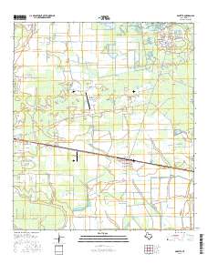
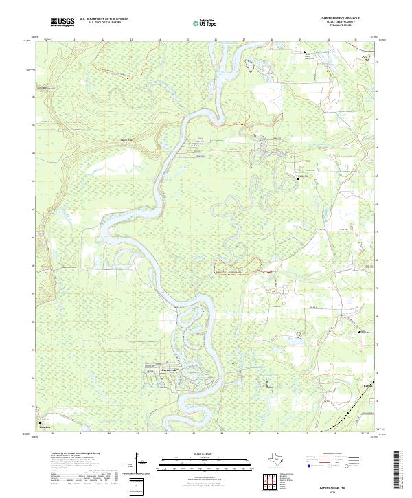 2022 Capers Ridge2022 Print · USGSThe Trinity River bottomlands of Liberty County are shown in great detail during the early 2020s, revealing a complex web of bayous and marshes. Researchers can pinpoint family burial sites like Jacob - Boothe Family Cem or trace the winding course of Gillen Bayou and McMurtry Bayou near Hardin.
 - 2022 Map of Hardin, 2022 Print
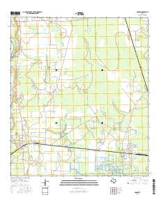
 2022 Hardin2022 Print · USGSHardin and the surrounding Liberty County prairie lands are documented here in the early twenty-first century as the local rural economy continues to evolve. Researchers can locate the Moss Hill Cem, the Circle C Ranch Airport, and old prairie landmarks like Batiste Prairie.
End of results
Showing maps 1-25 of 25
Top cities near Hardin
- Liberty historical maps
- Dayton historical maps
- Daisetta historical maps
- Ames historical maps
- Kenefick historical maps
- Hull historical maps
See more
Frequently asked questions
- What are the different types of historical maps available for Hardin?
- What is the oldest map of Hardin?
- Where can I purchase historical maps of Hardin for my home or office?
- Where can I download high-res historical maps of Hardin?
- Are there historical topographic maps available for Hardin?
- Is there historical aerial imagery available for Hardin?
- Where are historical maps of Hardin sourced from?