Old Maps of Shallowater, Texas for Metal Detecting
Plan your next treasure hunt with 21 historic maps of Shallowater. Find old homesites, ghost towns, trails, and gathering spots that may be lost to time — perfect for identifying promising metal detecting locations.
- Locate forgotten sites: Uncover places like long-lost settlements, abandoned rail lines, or gathering spots.
- Plan better hunts: Use map overlays combined with LiDAR or satellite views to narrow in on historically rich areas.
- Made for detectorists: Thousands of hobbyists use these maps to discover relics, coins, and hidden history.
Use these historic maps to boost your research and find new opportunities beneath the surface of Shallowater.
Shallowater, TX maps
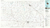
(21)- 1954 Map of Lubbock, 1958 Print
 1954 Lubbock1958 Print · USGSThe High Plains and Caprock region of West Texas come alive in the mid-1950s, showing a landscape defined by oil discovery and the Brazos River headwaters. Genealogists and historians can trace rail-connected towns like Roaring Springs, find the Pleasant Valley church, or locate family-named landmarks such as Soldier Mound.4 unique versions available
 - 1954 Map of Brownfield, 1975 Print
 1954 Brownfield1975 Print · USGSThe High Plains of the Texas-New Mexico border are captured here in the mid-twentieth century, as ranching and oil extraction shaped the Llano Estacado. Genealogists and historians can trace small rural centers like Lums Chapel, Hillburn City, and the Friendship Sch amid a landscape of windmills.2 unique versions available
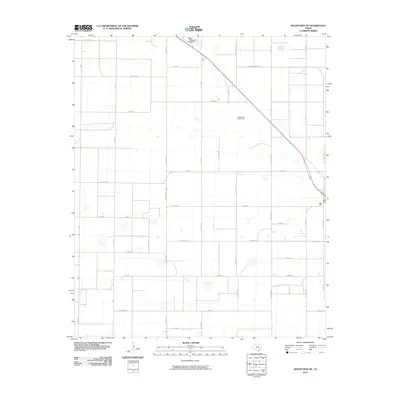
 - 1956 Map of Shallowater, 1957 Print
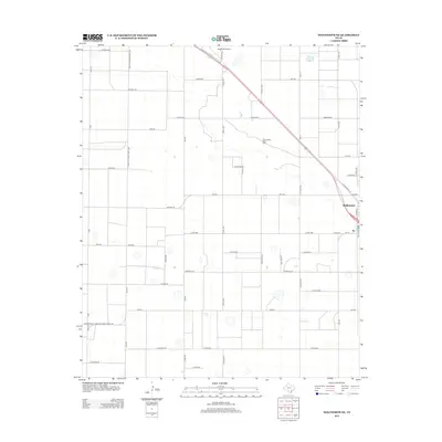
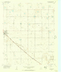 1956 Shallowater1957 Print · USGSThe Lubbock County plains of the mid-fifties center on the rail-side community of Shallowater. Researchers can trace the path of the Panhandle and Santa Fe railroad and locate local landmarks like the DRAG STRIP and Broadview.3 unique versions available
 - 1957 Map of Lubbock, 1958 Print
 1957 Lubbock1958 Print · USGSLubbock and its surrounding High Plains communities are captured here in the late fifties during a period of steady growth. Researchers can trace local genealogy and land use through landmarks like City Cemetery, Antioch Sch, and the Lubbock Municipal Airport.
 - 1957 Map of Wolfforth, 1958 Print
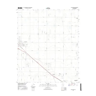
 1957 Wolfforth1958 Print · USGSThe High Plains of West Texas are captured here in the late fifties as military and oil interests expanded. Researchers can trace the layout of Reese Air Force Base, find the Smyer Oil Field, and locate the Bradford Sch.
 - 1958 Map of Brownfield
 1958 Brownfield1958 Print · USGSThe High Plains of the Texas-New Mexico border are captured here during a mid-century oil boom. Genealogists and historians can trace old community sites like Lums Chapel and Tokio alongside the vast Levelland and Slaughter Oil and Gas Field.
 - 1962 Map of Brownfield
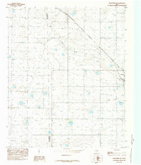
 1962 Brownfield1962 Print · USGSThe High Plains of Texas and New Mexico are captured in the early sixties as a thriving hub of oil production and ranching. Researchers can trace the industrial footprint of the Levelland and Slaughter Oil and Gas Field or locate smaller towns like Sundown and Littlefield.
 - 1976 Map of Wolfforth NE, 1978 Print
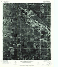 1976 Wolfforth NE1978 Print · USGSThe High Plains of West Texas appear in detail in this mid-seventies orthophoto, showing the intensive agricultural grid near Lubbock. Researchers can trace the meandering path of Yellow House Draw as it cuts through a landscape defined by circular irrigation patterns and section lines.
 - 1985 Map of Wolfforth NE
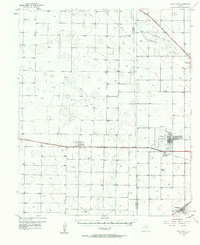
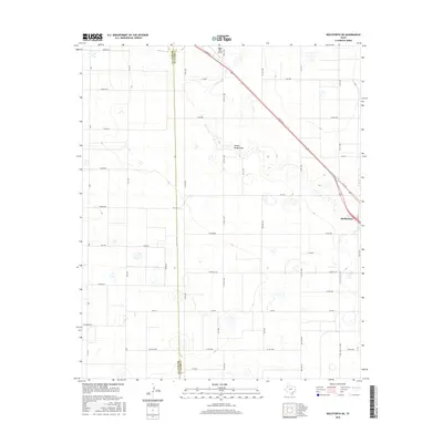
 1985 Wolfforth NE1985 Print · USGSThe High Plains of West Texas are captured here in the early eighties, centered on the growing community of Shallowater. Genealogists and local historians can trace the course of Yellow House Draw and locate regional landmarks like the local Airport and Gravel Pit.
 - 1985 Map of Levelland, 1986 Print
 1985 Levelland1986 Print · USGSThe West Texas High Plains are captured here in the mid-eighties as oil production and agriculture defined the region's economy. Researchers can trace the sprawling Levelland and Slaughter Oil and Gas Field or locate rural landmarks like Lums Chapel and South Plains College.2 unique versions available
 - 1986 Map of Lubbock
 1986 Lubbock1986 Print · USGSLubbock and the surrounding High Plains are documented in the mid-eighties as a structured grid of agricultural tracts and growing urban centers. Genealogists and local historians can trace family-named areas like Heckville, old rail stops on the Atchison Topeka and Santa Fe, and the winding path of Yellow House Canyon.2 unique versions available
 - 2010 Map of Wolfforth NE, 2010 Print
 2010 Wolfforth NE2010 Print · USGSCovers Shallowater, including Dean, Lubbock County, and other nearby areas
 - 2010 Map of Shallowater, 2010 Print
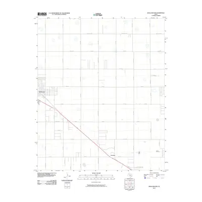 2010 Shallowater2010 Print · USGSCovers Shallowater, including Lubbock, Lubbock County, and other nearby areas
 - 2012 Map of Shallowater, 2012 Print
 2012 Shallowater2012 Print · USGSCovers Shallowater, including Lubbock, Lubbock County, and other nearby areas
 - 2012 Map of Wolfforth NE, 2012 Print
 2012 Wolfforth NE2012 Print · USGSCovers Shallowater, including Dean, Lubbock County, and other nearby areas
 - 2016 Map of Shallowater, 2016 Print
 2016 Shallowater2016 Print · USGSCovers Shallowater, including Lubbock, Lubbock County, and other nearby areas
 - 2016 Map of Wolfforth NE, 2016 Print
 2016 Wolfforth NE2016 Print · USGSCovers Shallowater, including Dean, Lubbock County, and other nearby areas
 - 2019 Map of Wolfforth NE, 2019 Print
 2019 Wolfforth NE2019 Print · USGSCovers Shallowater, including Dean, Lubbock County, and other nearby areas
 - 2019 Map of Shallowater, 2019 Print
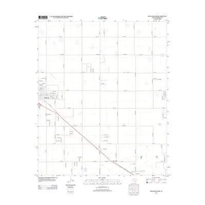
 2019 Shallowater2019 Print · USGSCovers Shallowater, including Lubbock, Lubbock County, and other nearby areas
 - 2022 Map of Shallowater, 2022 Print
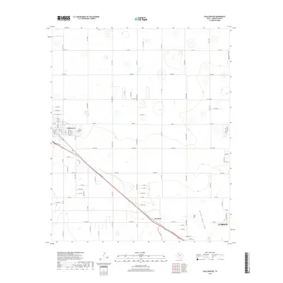
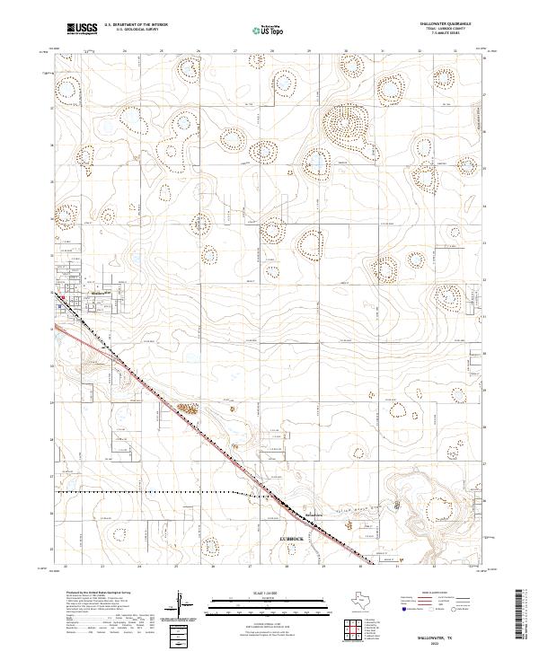 2022 Shallowater2022 Print · USGSShallowater and the northwestern fringes of Lubbock are captured here during a period of steady high-plains expansion. Trace the neighborhood layouts of Broadview, find the small locality of Emerson, and follow the natural paths of Yellow House Draw and Blackwater Draw.
 - 2022 Map of Wolfforth NE, 2022 Print
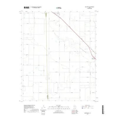
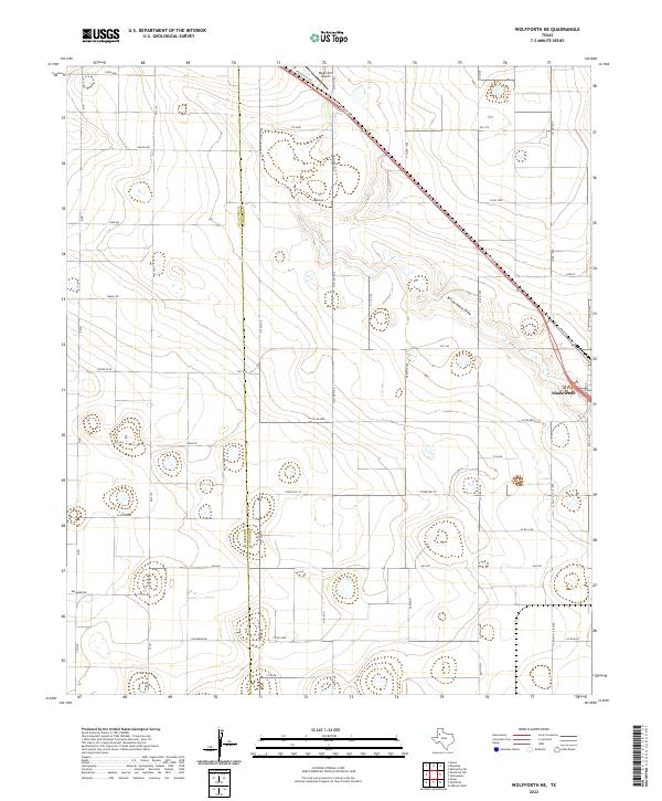 2022 Wolfforth NE2022 Print · USGSLubbock and Hockley Counties come together in this contemporary look at the South Plains, centered on the community of Shallowater. Genealogists and local historians can trace modern property lines and local landmarks like Biggin Hill Airport and the Yellow House Draw.
End of results
Showing maps 1-21 of 21
Top cities near Shallowater
- Lubbock historical maps
- Wolfforth historical maps
- Abernathy historical maps
- Anton historical maps
- New Deal historical maps
- Smyer historical maps
See more
Frequently asked questions
- What are the different types of historical maps available for Shallowater?
- What is the oldest map of Shallowater?
- Where can I purchase historical maps of Shallowater for my home or office?
- Where can I download high-res historical maps of Shallowater?
- Are there historical topographic maps available for Shallowater?
- Is there historical aerial imagery available for Shallowater?
- Where are historical maps of Shallowater sourced from?