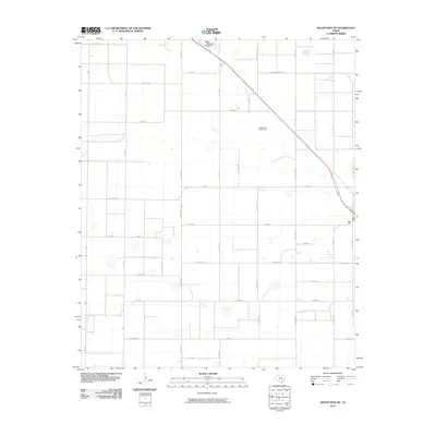
2010 Map of Wolfforth NE
USGS Topo · Published 2010About this map
Agricultural infrastructure and oil-field development define this portion of the Llano Estacado north of Lubbock. The small settlement of Emerson sits at the junction of several farm-to-market roads, surrounded by a rigid grid of namesake thoroughfares like Kansas Rd, Iowa Rd, and Georgia Rd. These roads reflect the early 20th-century colonization patterns when land developers marketed the South Plains to Midwestern farmers.
Find a feature on this map
36 named features on this map. Tap any name to fly to it.
Don’t see what you’re looking for? This feature index may not catch every label — zoom into the map to look around manually.
Map Details
Editions of this 2010 Wolfforth NE Map
This is the sole edition of this map. No revisions or reprints were ever made.
Other maps of this area

1954 · Lubbock
USGS Topo · 1:250,000

1954 · Brownfield
USGS Topo · 1:250,000

1956 · Shallowater
USGS Topo · 1:24,000

1957 · Lubbock West
USGS Topo · 1:24,000

1957 · Lubbock
USGS Topo · 1:62,500

1957 · Anton
USGS Topo · 1:62,500

1957 · Abernathy
USGS Topo · 1:62,500

1957 · Wolfforth
USGS Topo · 1:62,500

1958 · Brownfield
USGS Topo · 1:250,000

1962 · Brownfield
USGS Topo · 1:250,000