Old Maps of Slide, Texas for Hiking & Exploration
Hike through history with 10 historic maps of Slide. Explore old trails, ghost towns, and forgotten backroads — perfect for outdoor adventurers and local explorers.
- Rediscover forgotten places: Map out old mining camps, roads, and footpaths that no longer exist on modern maps.
- Layer with modern tools: Combine with LiDAR or satellite views to plan hikes through historical terrain.
- Made for exploration: Popular among hikers, overlanders, and local history lovers.
Use these maps to find adventure and explore the hidden past of Slide.
Slide, TX maps
(10)- 1954 Map of Lubbock, 1958 Print
 1954 Lubbock1958 Print · USGSThe High Plains and Caprock region of West Texas come alive in the mid-1950s, showing a landscape defined by oil discovery and the Brazos River headwaters. Genealogists and historians can trace rail-connected towns like Roaring Springs, find the Pleasant Valley church, or locate family-named landmarks such as Soldier Mound.4 unique versions available
 - 1957 Map of New Home, 1958 Print
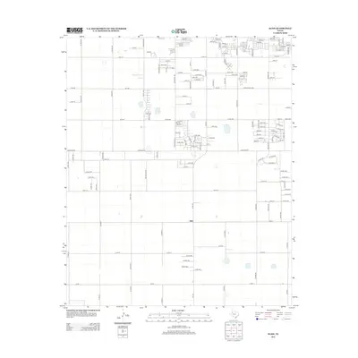
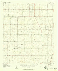 1957 New Home1958 Print · USGSThe rural High Plains of West Texas are meticulously detailed in the late 1950s, showing the early infrastructure of several crossroads communities. Genealogists and researchers can locate landmarks like Dixie Sch (Aband), the settlement of Slide, and the Athletic Field at New Home.
 - 1976 Map of New Home NW, 1978 Print
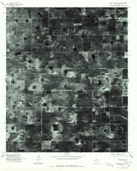 1976 New Home NW1978 Print · USGSLubbock County agricultural life is frozen in time during the late 1970s on this detailed orthophotoquad. Local historians and land researchers can trace the settlement at Slide and the evolution of irrigation patterns across the South Plains landscape.2 unique versions available
 - 1985 Map of Slide
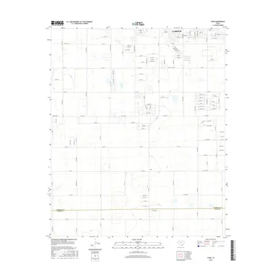
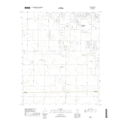
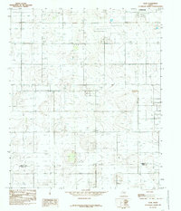 1985 Slide1985 Print · USGSThe rural High Plains south of Lubbock are captured here in the mid-eighties as a landscape defined by ranching and resource extraction. Genealogists and historians can trace the border between Lubbock Co and Lynn Co past local landmarks like Slide and 3 Storage Bins.
 - 1986 Map of Slaton
 1986 Slaton1986 Print · USGSThe Llano Estacado meets the rolling breaks of the Brazos River in the mid-1980s as the region's ranching and rail roots remain visible. Trace the path of the Atchison Topeka and Santa Fe through Post or locate Guthrie Lake and Wilson.2 unique versions available
 - 2010 Map of Slide, 2010 Print
 2010 Slide2010 Print · USGSCovers Slide, including Lubbock, Lubbock County, and other nearby areas
 - 2012 Map of Slide, 2012 Print
 2012 Slide2012 Print · USGSCovers Slide, including Lubbock, Lubbock County, and other nearby areas
 - 2016 Map of Slide, 2016 Print
 2016 Slide2016 Print · USGSCovers Slide, including Lubbock, Lubbock County, and other nearby areas
 - 2019 Map of Slide, 2019 Print
 2019 Slide2019 Print · USGSCovers Slide, including Lubbock, Lubbock County, and other nearby areas
 - 2022 Map of Slide, 2022 Print
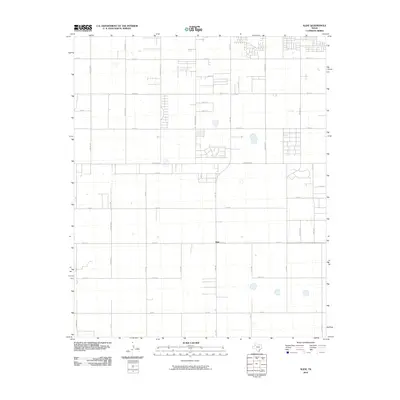
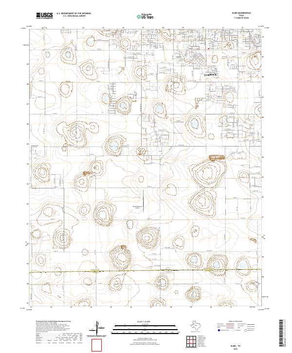 2022 Slide2022 Print · USGSThe Lubbock suburbs meet the wide-open plains of the South Plains in this contemporary survey. Researchers can trace the boundary between Lubbock Co and Lynn Co or locate rural landmarks like Remembrance Airport and Woodrow Rd.
End of results
Showing maps 1-10 of 10
Top cities near Slide
- Lubbock historical maps
- Wolfforth historical maps
- Wilson historical maps
- Smyer historical maps
- Buffalo Springs historical maps
- Ropesville historical maps
See more
Frequently asked questions
- What are the different types of historical maps available for Slide?
- What is the oldest map of Slide?
- Where can I purchase historical maps of Slide for my home or office?
- Where can I download high-res historical maps of Slide?
- Are there historical topographic maps available for Slide?
- Is there historical aerial imagery available for Slide?
- Where are historical maps of Slide sourced from?