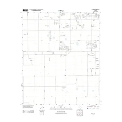
2012 Map of Slide
USGS Topo · Published 2012About this map
The small settlement of Slide serves as the focal point for this section of the South Plains, situated within a vast network of section roads that define the rural Lubbock County landscape. As of 2012, the transition from agricultural land to residential expansion is visible in the suburban street layouts emerging in the northeast corner near Canyon Ave and Chicago Ave. The map reflects a meticulously planned grid system, characterized by a dense numbering of county routes such as Co Rd 1700 and Co Rd 1950. This survey offers a precise look at the land division patterns in the Texas Panhandle, showing how early ranching and farming tracks evolved into the formal thoroughfares of today, including major arteries like Alcove Ave and southern border roads like Co Rd 1.
Find a feature on this map
113 named features on this map. Tap any name to fly to it.
Don’t see what you’re looking for? This feature index may not catch every label — zoom into the map to look around manually.
Map Details
Editions of this 2012 Slide Map
This is the sole edition of this map. No revisions or reprints were ever made.
Other maps of this area

1954 · Lubbock
USGS Topo · 1:250,000

1954 · Brownfield
USGS Topo · 1:250,000

1957 · Lubbock East
USGS Topo · 1:24,000

1957 · New Home
USGS Topo · 1:62,500

1957 · Lubbock West
USGS Topo · 1:24,000

1957 · Lubbock
USGS Topo · 1:62,500

1957 · Meadow
USGS Topo · 1:62,500

1957 · Wolfforth
USGS Topo · 1:62,500

1958 · Brownfield
USGS Topo · 1:250,000

1962 · Brownfield
USGS Topo · 1:250,000