Old Maps of Skeen, Texas for Hiking & Exploration
Hike through history with 8 historic maps of Skeen. Explore old trails, ghost towns, and forgotten backroads — perfect for outdoor adventurers and local explorers.
- Rediscover forgotten places: Map out old mining camps, roads, and footpaths that no longer exist on modern maps.
- Layer with modern tools: Combine with LiDAR or satellite views to plan hikes through historical terrain.
- Made for exploration: Popular among hikers, overlanders, and local history lovers.
Use these maps to find adventure and explore the hidden past of Skeen.
Skeen, TX maps
(8)- 1954 Map of Lubbock, 1958 Print
 1954 Lubbock1958 Print · USGSThe High Plains and Caprock region of West Texas come alive in the mid-1950s, showing a landscape defined by oil discovery and the Brazos River headwaters. Genealogists and historians can trace rail-connected towns like Roaring Springs, find the Pleasant Valley church, or locate family-named landmarks such as Soldier Mound.4 unique versions available
 - 1969 Map of Skeen Lake, 1971 Print
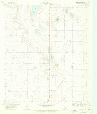 1969 Skeen Lake1971 Print · USGSThe High Plains of Lynn County appear in the late sixties as an expansive agricultural landscape defined by the Atchison Topeka and Santa Fe railroad. Researchers can locate numerous water sources including Guthrie Lake and Skeen Lake alongside various local Wells.
 - 1986 Map of Slaton
 1986 Slaton1986 Print · USGSThe Llano Estacado meets the rolling breaks of the Brazos River in the mid-1980s as the region's ranching and rail roots remain visible. Trace the path of the Atchison Topeka and Santa Fe through Post or locate Guthrie Lake and Wilson.2 unique versions available
 - 2010 Map of Skeen Lake, 2010 Print
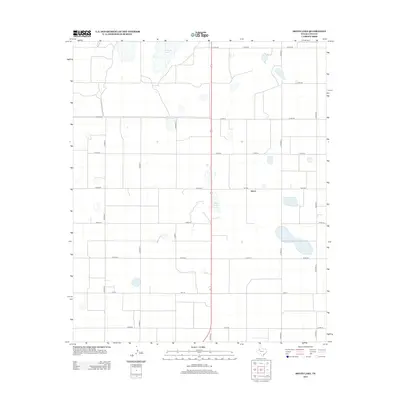
 2010 Skeen Lake2010 Print · USGSCovers Skeen, including Lynn County, United States, and other nearby areas
 - 2012 Map of Skeen Lake, 2012 Print
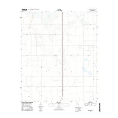
 2012 Skeen Lake2012 Print · USGSCovers Skeen, including Lynn County, United States, and other nearby areas
 - 2016 Map of Skeen Lake, 2016 Print
 2016 Skeen Lake2016 Print · USGSCovers Skeen, including Lynn County, United States, and other nearby areas
 - 2019 Map of Skeen Lake, 2019 Print
 2019 Skeen Lake2019 Print · USGSCovers Skeen, including Lynn County, United States, and other nearby areas
 - 2022 Map of Skeen Lake, 2022 Print
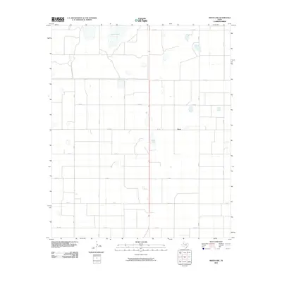
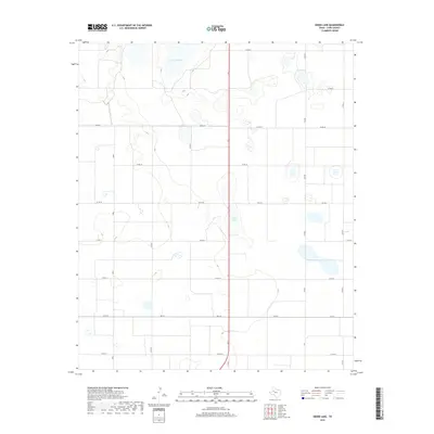
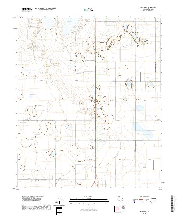 2022 Skeen Lake2022 Print · USGSLynn County’s High Plains landscape is documented here in the early twenty-first century, showing a region defined by agricultural grids and natural basins. Researchers can trace the local road network and land divisions surrounding Skeen Lake, Guthrie Lake, and Nora.
End of results
Showing maps 1-8 of 8
Top cities near Skeen
Frequently asked questions
- What are the different types of historical maps available for Skeen?
- What is the oldest map of Skeen?
- Where can I purchase historical maps of Skeen for my home or office?
- Where can I download high-res historical maps of Skeen?
- Are there historical topographic maps available for Skeen?
- Is there historical aerial imagery available for Skeen?
- Where are historical maps of Skeen sourced from?