2000s (21st Century) Maps of Jefferson, Texas
Explore 15 historic maps of Jefferson from the 2000s (21st Century). These maps offer a rare glimpse into what life looked like during the 2000s — showing old roads, neighborhoods, homes, and landmarks that have changed or disappeared over time.
Whether you're researching your family's past, planning a metal detecting trip, or studying how Jefferson's landscape evolved across the 2000s, these high-resolution maps are a powerful tool for exploring the history of this region.
- Focus on a specific era: All maps on this page are from the 2000s, giving you a focused view of this time period.
- See what’s changed: Compare century-old streets, trails, and buildings to today's modern landscape using overlays and satellite layers.
- Research with precision: Use these maps for genealogy, historical research, land use analysis, or educational projects.
- View, download, or print: Maps are fully viewable online in high resolution, and can be downloaded or printed for your own records.
Start exploring Jefferson's history through authentic maps from the 2000s. This is your window into the past.
Jefferson, TX maps
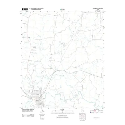
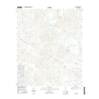
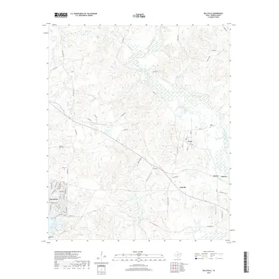
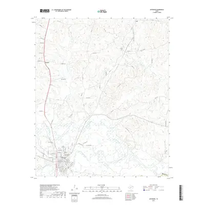
(15)- 2010 Map of Jefferson, 2010 Print
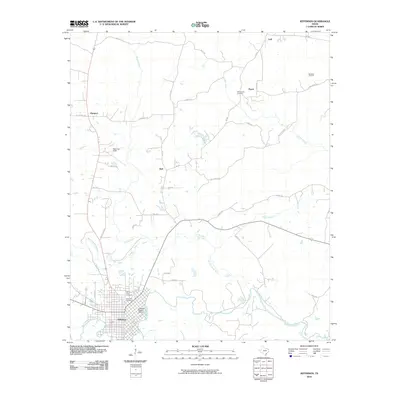 2010 Jefferson2010 Print · USGSCovers Jefferson, including Hall, Prospect, and other nearby areas
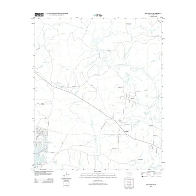
 - 2010 Map of Kellyville, 2010 Print
 2010 Kellyville2010 Print · USGSCovers Jefferson, including Berea, Sarber, and other nearby areas
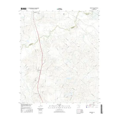
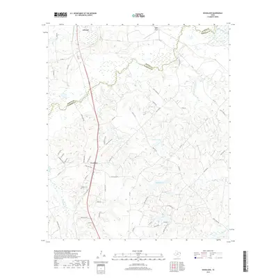
 - 2010 Map of Woodlawn, 2010 Print
 2010 Woodlawn2010 Print · USGSCovers Jefferson, including Pope City, Woodlawn, and other nearby areas
 - 2013 Map of Woodlawn, 2013 Print
 2013 Woodlawn2013 Print · USGSCovers Jefferson, including Pope City, Woodlawn, and other nearby areas
 - 2013 Map of Jefferson, 2013 Print
 2013 Jefferson2013 Print · USGSCovers Jefferson, including Hall, Prospect, and other nearby areas
 - 2013 Map of Kellyville, 2013 Print
 2013 Kellyville2013 Print · USGSCovers Jefferson, including Berea, Sarber, and other nearby areas
 - 2016 Map of Jefferson, 2016 Print
 2016 Jefferson2016 Print · USGSCovers Jefferson, including Hall, Prospect, and other nearby areas
 - 2016 Map of Woodlawn, 2016 Print
 2016 Woodlawn2016 Print · USGSCovers Jefferson, including Pope City, Woodlawn, and other nearby areas
 - 2016 Map of Kellyville, 2016 Print
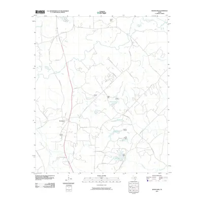
 2016 Kellyville2016 Print · USGSCovers Jefferson, including Berea, Sarber, and other nearby areas
 - 2019 Map of Kellyville, 2019 Print
 2019 Kellyville2019 Print · USGSCovers Jefferson, including Berea, Sarber, and other nearby areas
 - 2019 Map of Jefferson, 2019 Print
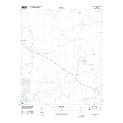
 2019 Jefferson2019 Print · USGSCovers Jefferson, including Hall, Prospect, and other nearby areas
 - 2019 Map of Woodlawn, 2019 Print
 2019 Woodlawn2019 Print · USGSCovers Jefferson, including Pope City, Woodlawn, and other nearby areas
 - 2022 Map of Kellyville, 2022 Print
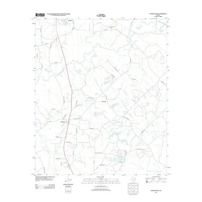
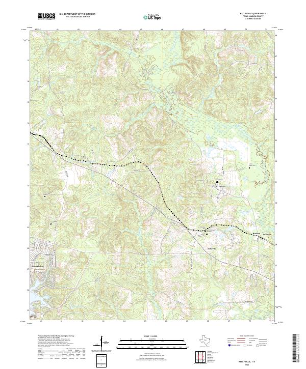 2022 Kellyville2022 Print · USGSMarion County at the start of the 2020s shows a landscape of bayous and small settlements. Genealogists can trace family lines through numerous burial grounds like Berea Cem and Webb Cem or follow the banks of Black Cypress Bayou.
 - 2022 Map of Jefferson, 2022 Print
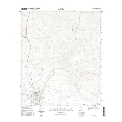
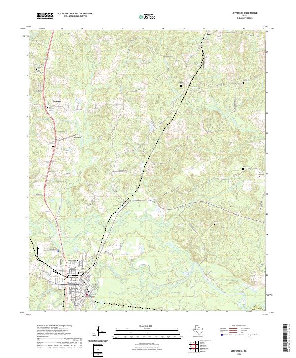 2022 Jefferson2022 Print · USGSJefferson and the surrounding Marion County countryside are documented here in the early twenty-first century as the riverfront landscape continues its modern evolution. Researchers can trace local genealogy through numerous sites like Cedar Grove Cem, Union Cem, and the Marion County Courthouse.
 - 2022 Map of Woodlawn, 2022 Print
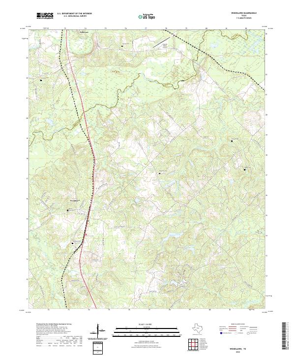 2022 Woodlawn2022 Print · USGSHarrison County in the early 2020s shows a landscape of bayous and rural family homesteads north of Marshall. Genealogists can trace local history through sites like Mount Zion Cem, Woodlawn Cem, and Adams Cem.
End of results
Showing maps 1-15 of 15
Top cities near Jefferson
Frequently asked questions
- What are the different types of historical maps available for Jefferson?
- What is the oldest map of Jefferson?
- Where can I purchase historical maps of Jefferson for my home or office?
- Where can I download high-res historical maps of Jefferson?
- Are there historical topographic maps available for Jefferson?
- Is there historical aerial imagery available for Jefferson?
- Where are historical maps of Jefferson sourced from?