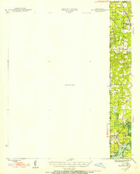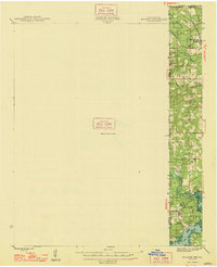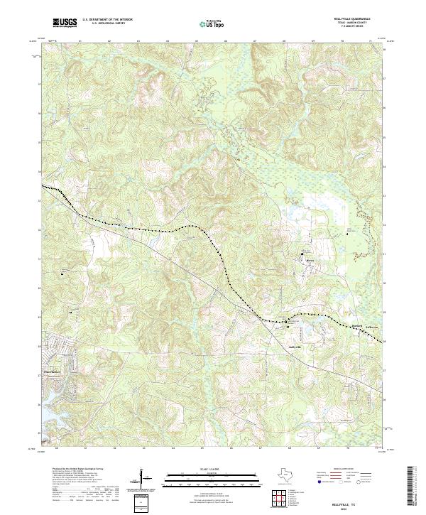
2022 Map of Kellyville
USGS Topo · Published 2022About this map
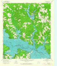
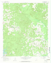
Kellyville and Berea anchor this landscape in Marion County, where the low-lying wetlands of the Black Cypress Bayou system dictate the local geography. The map reveals a dense network of family-named roads and landmarks, such as Coleman Ln and Joe Davis Rd, which weave between the numerous small cemeteries that define the area's genealogical footprint. These sites, including Kellyville Cem Number 2 and the Webb Cem, are often situated on higher ground away from the winding courses of White Oak Cr and Hurricane Cr.
Find a feature on this map
70 named features on this map. Tap any name to fly to it.
Don’t see what you’re looking for? This feature index may not catch every label — zoom into the map to look around manually.
Map Details
Editions of this 2022 Kellyville Map
This is the sole edition of this map. No revisions or reprints were ever made.
Historical Maps of Jefferson Through Time
9 maps found