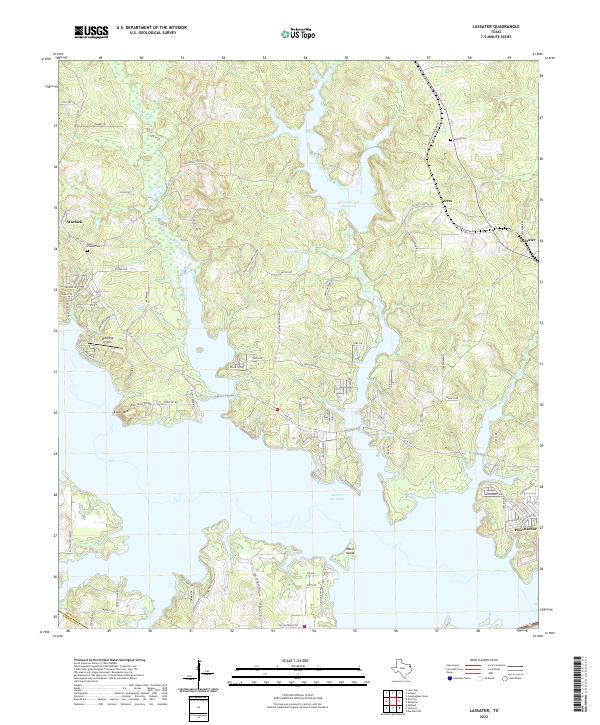
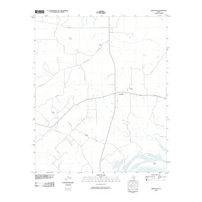
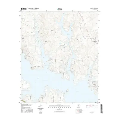
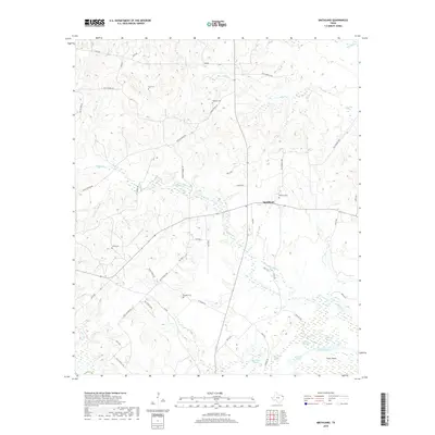
2022 Map of Lassater
USGS Topo · Published 2022About this map
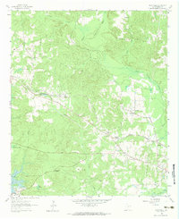
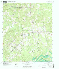
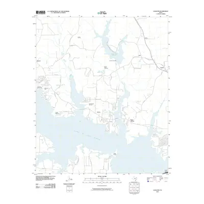
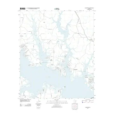
Lake O' the Pines dominates the southern reaches of this landscape, its expansive waters surrounding Watts Island and branching north into the Alley Cr and Johnson Cr drainages. The surrounding topography in Marion County is defined by a dense network of local roads and established rural settlements like Lassater and Warlock. Higher ground such as Locks Mtn overlooks the inundated valleys where the Johnson Creek Reservoir and Felix A Smith Lake provide modern water management.
Find a feature on this map
81 named features on this map. Tap any name to fly to it.
Don’t see what you’re looking for? This feature index may not catch every label — zoom into the map to look around manually.
Map Details
Editions of this 2022 Lassater Map
This is the sole edition of this map. No revisions or reprints were ever made.
Historical Maps of Rock Springs Through Time
21 maps found
1944 Kildare
Marion County, TX
1948 Kildare
Marion County, TX
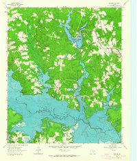
1961 Lassater
Marion County, TX
1962 Kellyville
Marion County, TX
1962 Smithland
Marion County, TX

1962 Trees
Marion County, TX
2010 Kellyville
Marion County, TX
2010 Lassater
Marion County, TX
2010 Smithland
Marion County, TX
2013 Kellyville
Marion County, TX
2013 Lassater
Marion County, TX
2013 Smithland
Marion County, TX
2016 Kellyville
Marion County, TX
2016 Lassater
Marion County, TX
2016 Smithland
Marion County, TX
2019 Kellyville
Marion County, TX

2019 Lassater
Marion County, TX
2019 Smithland
Marion County, TX
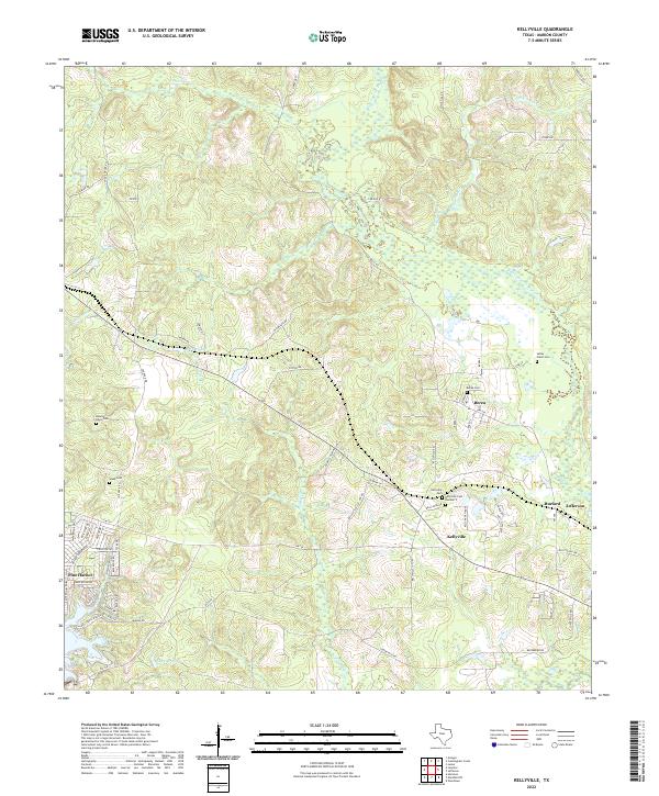
2022 Kellyville
Marion County, TX
2022 Lassater
Marion County, TX
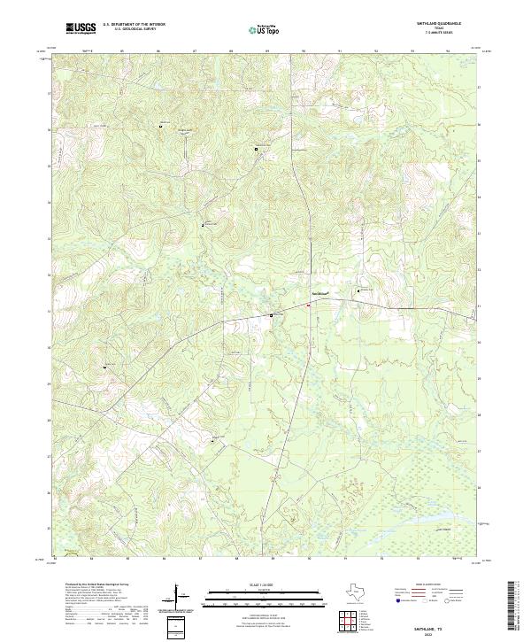
2022 Smithland
Marion County, TX