Old Maps of Jefferson, Texas for Genealogy
Trace your family roots with 21 historic maps of Jefferson. These high-res maps reveal old neighborhoods, homesites, landmarks, and streets — helping you uncover where your ancestors lived and how the area evolved over time.
- Explore historic neighborhoods: Identify where your relatives may have lived in the 1800s or 1900s.
- Compare maps over time: Trace the changes in streets, buildings, and landmarks for multi-generational research.
- Perfect for genealogy & ancestry research: Used by family historians and researchers to map out lineage and migration.
These maps are an incredible resource for exploring your personal connection to Jefferson's past.
Jefferson, TX maps
(21)- 1956 Map of Tyler
 1956 Tyler1956 Print · USGSEast Texas was a powerhouse of oil production and rail transport during the mid-fifties, centered on the sprawling East Texas Oil Field. Researchers can trace the heritage of industrial hubs like Kilgore, military sites such as the Longhorn Ordnance Works, and many rural landmarks like Mount Enterprise.5 unique versions available
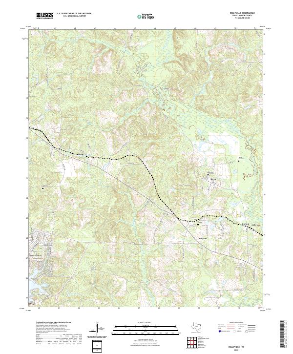
 - 1962 Map of Kellyville, 1963 Print
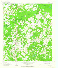
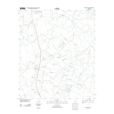
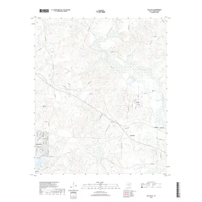
 1962 Kellyville1963 Print · USGSMarion County in the early sixties was a landscape of bayous and rail lines at the edge of the newly formed reservoir. Genealogists can trace family roots through the Beamer-Davis Cem and Valley Plains Cem, or locate the Jefferson Rural Academy.3 unique versions available
 - 1962 Map of Woodlawn, 1963 Print
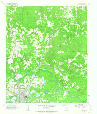
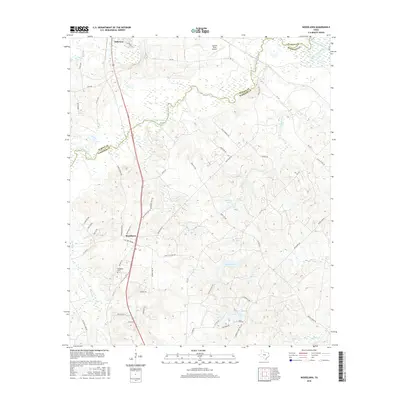
 1962 Woodlawn1963 Print · USGSHarrison County was a landscape of bayous and rail lines in the early sixties, centered on the community of Woodlawn. Local historians can trace the foundations of the area through Woodlawn Cem, Pope City, and the rural Cypress River Airfield.3 unique versions available
 - 1962 Map of Jefferson, 1963 Print
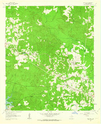
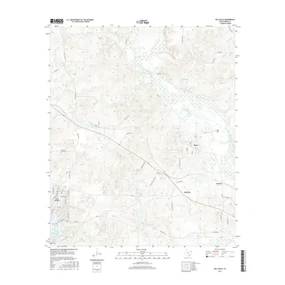
 1962 Jefferson1963 Print · USGSJefferson and the surrounding bayous are shown at a peak of mid-century industrial and rail activity. Researchers can trace the legacy of East Texas through sites like Old Foundry Cem, the Refinery, and the crossing of the Texas and Pacific railroad.2 unique versions available
 - 1984 Map of Tyler
 1984 Tyler1984 Print · USGSEast Texas at the peak of its reservoir-building era shows a landscape defined by new lakes and established rail corridors. Trace the path of the St Louis Southwestern RR or locate industrial sites like the Longhorn Ordnance Works.3 unique versions available
 - 1986 Map of Marshall
 1986 Marshall1986 Print · USGSEast Texas and the Louisiana borderlands are shown in the mid-1980s during a period of sustained industrial and energy production. Researchers can trace family roots through settlements like Ebenezer or study the impact of the Longhorn Army Ammunition Plant and Rodessa Oil Field.2 unique versions available
 - 2010 Map of Jefferson, 2010 Print
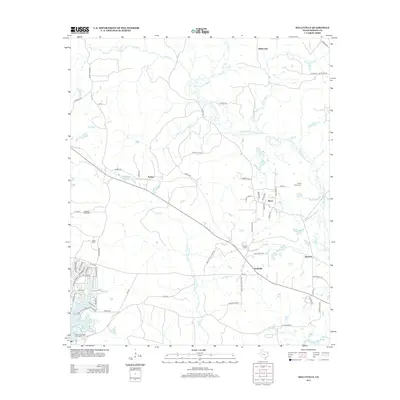
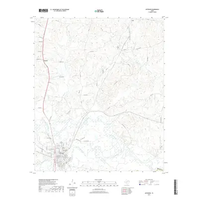
 2010 Jefferson2010 Print · USGSCovers Jefferson, including Hall, Prospect, and other nearby areas
 - 2010 Map of Kellyville, 2010 Print
 2010 Kellyville2010 Print · USGSCovers Jefferson, including Berea, Sarber, and other nearby areas
 - 2010 Map of Woodlawn, 2010 Print
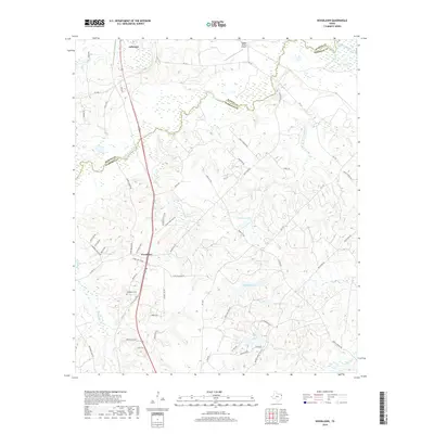
 2010 Woodlawn2010 Print · USGSCovers Jefferson, including Pope City, Woodlawn, and other nearby areas
 - 2013 Map of Woodlawn, 2013 Print
 2013 Woodlawn2013 Print · USGSCovers Jefferson, including Pope City, Woodlawn, and other nearby areas
 - 2013 Map of Jefferson, 2013 Print
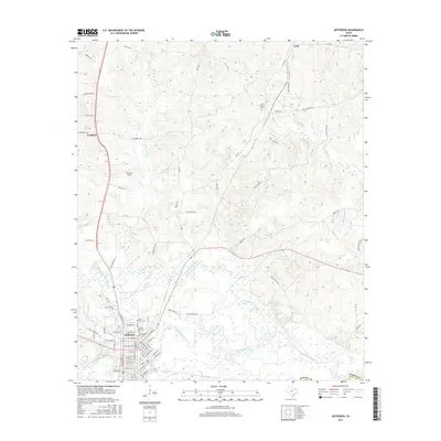
 2013 Jefferson2013 Print · USGSCovers Jefferson, including Hall, Prospect, and other nearby areas
 - 2013 Map of Kellyville, 2013 Print
 2013 Kellyville2013 Print · USGSCovers Jefferson, including Berea, Sarber, and other nearby areas
 - 2016 Map of Jefferson, 2016 Print
 2016 Jefferson2016 Print · USGSCovers Jefferson, including Hall, Prospect, and other nearby areas
 - 2016 Map of Woodlawn, 2016 Print
 2016 Woodlawn2016 Print · USGSCovers Jefferson, including Pope City, Woodlawn, and other nearby areas
 - 2016 Map of Kellyville, 2016 Print
 2016 Kellyville2016 Print · USGSCovers Jefferson, including Berea, Sarber, and other nearby areas
 - 2019 Map of Kellyville, 2019 Print
 2019 Kellyville2019 Print · USGSCovers Jefferson, including Berea, Sarber, and other nearby areas
 - 2019 Map of Jefferson, 2019 Print
 2019 Jefferson2019 Print · USGSCovers Jefferson, including Hall, Prospect, and other nearby areas
 - 2019 Map of Woodlawn, 2019 Print
 2019 Woodlawn2019 Print · USGSCovers Jefferson, including Pope City, Woodlawn, and other nearby areas
 - 2022 Map of Kellyville, 2022 Print
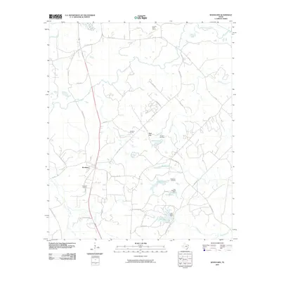
 2022 Kellyville2022 Print · USGSMarion County at the start of the 2020s shows a landscape of bayous and small settlements. Genealogists can trace family lines through numerous burial grounds like Berea Cem and Webb Cem or follow the banks of Black Cypress Bayou.
 - 2022 Map of Jefferson, 2022 Print
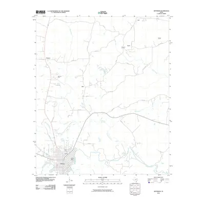
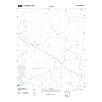
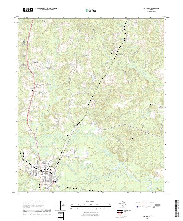 2022 Jefferson2022 Print · USGSJefferson and the surrounding Marion County countryside are documented here in the early twenty-first century as the riverfront landscape continues its modern evolution. Researchers can trace local genealogy through numerous sites like Cedar Grove Cem, Union Cem, and the Marion County Courthouse.
 - 2022 Map of Woodlawn, 2022 Print
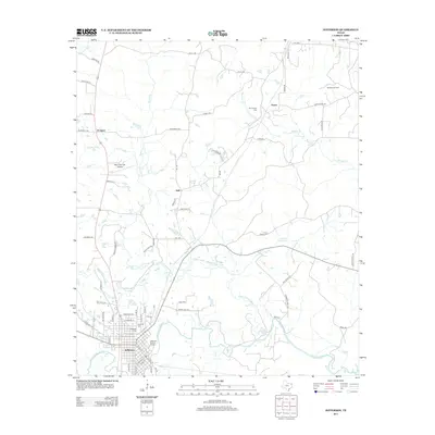
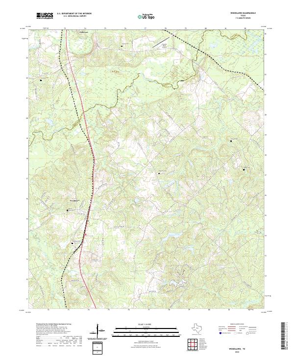 2022 Woodlawn2022 Print · USGSHarrison County in the early 2020s shows a landscape of bayous and rural family homesteads north of Marshall. Genealogists can trace local history through sites like Mount Zion Cem, Woodlawn Cem, and Adams Cem.
End of results
Showing maps 1-21 of 21
Top cities near Jefferson
Frequently asked questions
- What are the different types of historical maps available for Jefferson?
- What is the oldest map of Jefferson?
- Where can I purchase historical maps of Jefferson for my home or office?
- Where can I download high-res historical maps of Jefferson?
- Are there historical topographic maps available for Jefferson?
- Is there historical aerial imagery available for Jefferson?
- Where are historical maps of Jefferson sourced from?