
1962 Map of Woodlawn
USGS Topo · Published 1963About this map
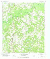
Texas and Pacific rails cut a direct line through the heart of the Harrison County countryside in the early 1960s, linking the settlement of Woodlawn to the broader regional economy. This rural landscape is defined by the winding paths of Big Cypress Bayou and Little Cypress Bayou along the Marion County line, where the bottomlands give way to a network of creeks like Beekum Creek and Holly Creek. The area’s social fabric is visible through its dispersed institutions, including Woodlawn Sch and numerous country churches such as Starlight Ch, Greater Friendship Ch, and Cypress Chapel. Small-scale industry and infrastructure are evident in the presence of a Gravel Pit, a Compressor Station, and an extensive network of pipelines, while recreation and water management are reflected in local landmarks like Sanders Lake and Fern Lake.
Find a feature on this map
28 named features on this map. Tap any name to fly to it.
Don’t see what you’re looking for? This feature index may not catch every label — zoom into the map to look around manually.
Map Details
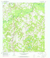
Editions of this 1962 Woodlawn Map
3 editions found
Other maps of this area

1944 · Kildare
USGS Topo · 1:62,500

1944 · Caddo Lake
USGS Topo · 1:62,500

1946 · Caddo Lake
USGS Topo · 1:62,500

1948 · Kildare
USGS Topo · 1:62,500

1956 · Tyler
USGS Topo · 1:250,000

1962 · Kellyville
USGS Topo · 1:24,000

1962 · Marshall NW
USGS Topo · 1:24,000

1962 · Marshall West
USGS Topo · 1:24,000
1962 · Smithland
USGS Topo · 1:24,000

1962 · Jefferson
USGS Topo · 1:24,000