Old Maps of Mason, Texas for Academic Research
Study the evolution of Mason with 30 high-resolution historic maps. Whether you're teaching, researching, or modeling changes in land use, these maps provide essential visual documentation of urban, environmental, and geographic change.
- Analyze long-term change: Track patterns in development, transportation, and natural features.
- Ideal for environmental or urban studies: Support academic projects with primary historical map data.
- Use in the classroom or lab: Educators and researchers rely on these maps to bring historical context to life.
These maps are a powerful tool for teaching, research, and visualizing how Mason has changed over the decades.
Mason, TX maps
(30)- 1887 Map of Mason
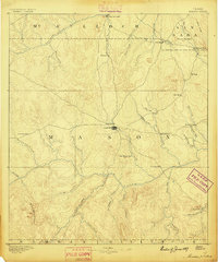 1887 Mason1887 Print · USGSThe Texas Hill Country comes into focus during the late frontier era, centering on the vital cattle and trade crossroads of Mason. Researchers can trace early German-Texan settlements and rural post offices including Loyal Valley, Hoersterville, and Fredonia.
 - 1894 Map of Mason
 1894 Mason1894 Print · USGSTexas Hill Country ranching and frontier life are captured here in the 1890s, centered on the growing county seat. Genealogists can trace family-named settlements like Bodeville and Hoersterville or remote outposts like Camp San Saba.4 unique versions available
 - 1954 Map of Llano, 1964 Print
 1954 Llano1964 Print · USGSThe Texas Hill Country and Highland Lakes appear in the mid-fifties, just as new reservoirs began reshaping the landscape. Trace ranching history and river routes from Mason to Llano, or follow the Gulf Colorado and Santa Fe RR past Buchanan Lake.2 unique versions available
 - 1955 Map of Llano
 1955 Llano1955 Print · USGSCentral Texas and the Hill Country are seen here during the mid-1950s growth of the Highland Lakes. Trace old settlements and geologic landmarks from Enchanted Rock and Longhorn Cavern to the small community of Luckenbach.
 - 1956 Map of Llano, 1976 Print
 1956 Llano1976 Print · USGSThe Texas Hill Country comes alive in this mid-seventies survey of the Llano Uplift and Colorado River lakes. Genealogists and historians can trace family roots through settlements like Luckenbach and Castell or locate the famed L B J Ranch and Enchanted Rock.
 - 1962 Map of Purdy Hill, 1964 Print
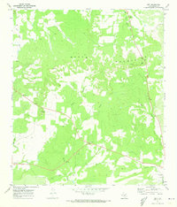
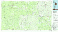
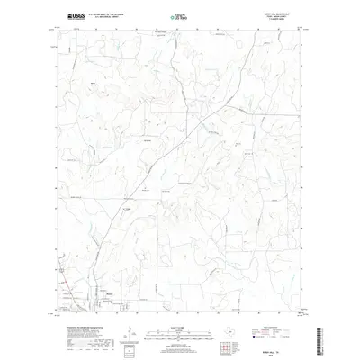
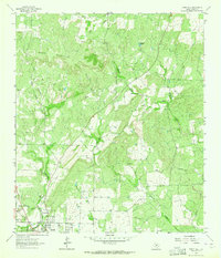 1962 Purdy Hill1964 Print · USGSMason and the surrounding ranchlands are captured here in the early sixties, showing the town's expansion toward the Mason Mountains. Genealogists can locate family burial sites like Behrens Cem and Crosby Cem, or trace the settlement at Koockville.2 unique versions available
 - 1967 Map of Mason, 1970 Print
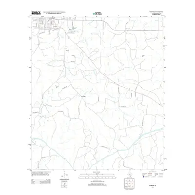
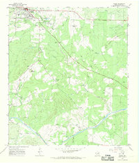 1967 Mason1970 Print · USGSThe Texas Hill Country town of Mason and its surrounding ranch lands are captured here in the late sixties. Genealogists and local historians can trace family-named sites such as Hick Springs, Grossville, and various Cem locations along the Llano River.2 unique versions available
 - 1968 Map of Turtle Creek, 1970 Print
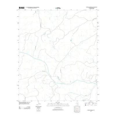
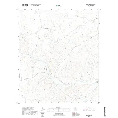
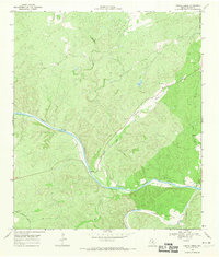 1968 Turtle Creek1970 Print · USGSThe Hill Country of Mason County is defined by the confluence of the Llano River and the James River during the late 1960s. Trace ranching history and early industry through sites like the Cem, the winding James River Road, and scattered Gravel Pits.2 unique versions available
 - 1970 Map of Grit, 1973 Print
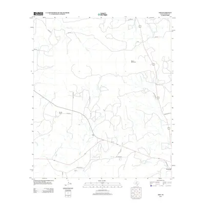
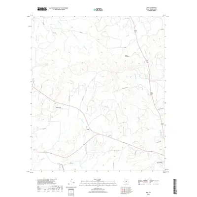
 1970 Grit1973 Print · USGSMason County ranching country is captured here during the 1970s as Highway 29 and 377 converge. Family historians can trace rural roots at Grit Cem and Cavness Cem or locate the small settlements of Grit and Streeter.
 - 1985 Map of Mason
 1985 Mason1985 Print · USGSMason and Menard counties in the 1980s showcase a landscape defined by the rugged Mason Mountains and the winding San Saba River. Researchers can trace old community lines and landmarks from the County Airport to the rural outposts of London and Fredonia.2 unique versions available
 - 2010 Map of Mason, 2010 Print
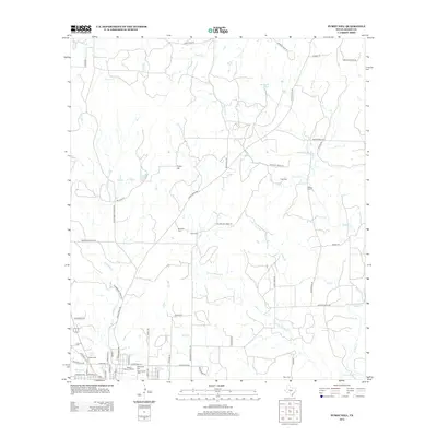
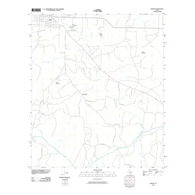 2010 Mason2010 Print · USGSCovers Mason, including Grossville, Mason County, and other nearby areas
 - 2010 Map of Grit, 2010 Print
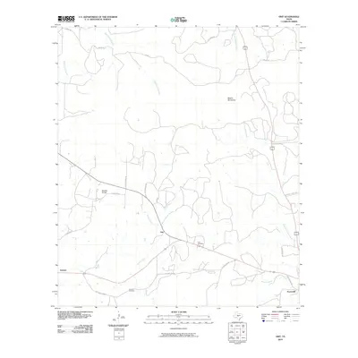 2010 Grit2010 Print · USGSCovers Mason, including Koocksville, Grit, and other nearby areas
 - 2010 Map of Purdy Hill, 2010 Print
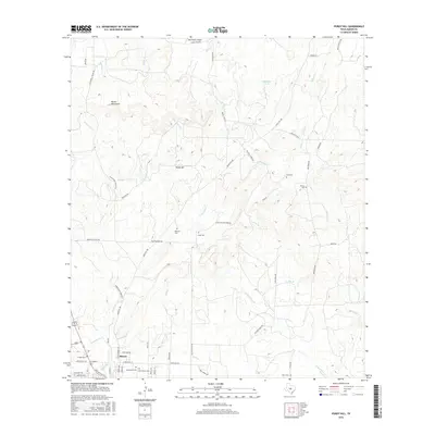
 2010 Purdy Hill2010 Print · USGSCovers Mason, including Mason County, United States, and other nearby areas
 - 2010 Map of Turtle Creek, 2010 Print
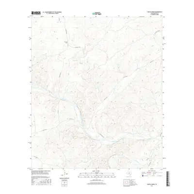
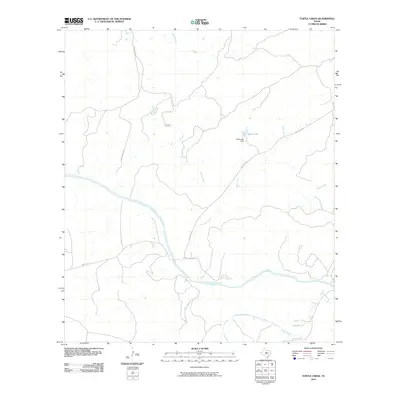 2010 Turtle Creek2010 Print · USGSCovers Mason, including Mason County, United States, and other nearby areas
 - 2012 Map of Turtle Creek, 2012 Print
 2012 Turtle Creek2012 Print · USGSCovers Mason, including Mason County, United States, and other nearby areas
 - 2012 Map of Grit, 2012 Print
 2012 Grit2012 Print · USGSCovers Mason, including Koocksville, Grit, and other nearby areas
 - 2012 Map of Mason, 2012 Print
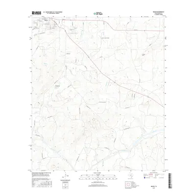
 2012 Mason2012 Print · USGSCovers Mason, including Grossville, Mason County, and other nearby areas
 - 2012 Map of Purdy Hill, 2012 Print
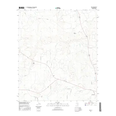
 2012 Purdy Hill2012 Print · USGSCovers Mason, including Mason County, United States, and other nearby areas
 - 2016 Map of Turtle Creek, 2016 Print
 2016 Turtle Creek2016 Print · USGSCovers Mason, including Mason County, United States, and other nearby areas
 - 2016 Map of Mason, 2016 Print
 2016 Mason2016 Print · USGSCovers Mason, including Grossville, Mason County, and other nearby areas
 - 2016 Map of Grit, 2016 Print
 2016 Grit2016 Print · USGSCovers Mason, including Koocksville, Grit, and other nearby areas
 - 2016 Map of Purdy Hill, 2016 Print
 2016 Purdy Hill2016 Print · USGSCovers Mason, including Mason County, United States, and other nearby areas
 - 2019 Map of Grit, 2019 Print
 2019 Grit2019 Print · USGSCovers Mason, including Koocksville, Grit, and other nearby areas
 - 2019 Map of Purdy Hill, 2019 Print
 2019 Purdy Hill2019 Print · USGSCovers Mason, including Mason County, United States, and other nearby areas
 - 2019 Map of Turtle Creek, 2019 Print
 2019 Turtle Creek2019 Print · USGSCovers Mason, including Mason County, United States, and other nearby areas
Showing maps 1-25 of 30
Frequently asked questions
- What are the different types of historical maps available for Mason?
- What is the oldest map of Mason?
- Where can I purchase historical maps of Mason for my home or office?
- Where can I download high-res historical maps of Mason?
- Are there historical topographic maps available for Mason?
- Is there historical aerial imagery available for Mason?
- Where are historical maps of Mason sourced from?