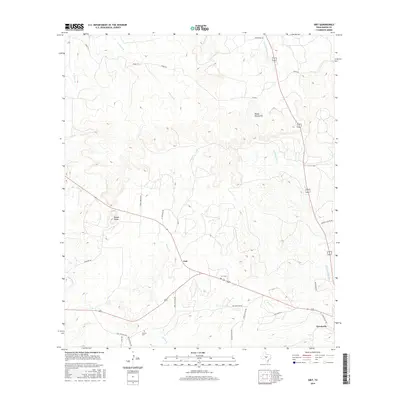
2016 Map of Grit
USGS Topo · Published 2016About this map
The Grit settlement and the rural highlands of the Mason Mountains define this section of the Texas Hill Country. Established along a network of ranch roads, the area is characterized by drainage systems like Honey Cr and W Comanche Cr that cut through the limestone terrain. Genealogists will find notable burial sites preserved here, including Grit Cem near the town center and the more remote Cavness Cem to the south. Distinctive geological landmarks such as the Double Knobs rise above the landscape, while historic transportation routes are reflected in names like Indian Trl and Behrens School Rd. The settlement of Koockville anchors the southeastern corner of the quadrangle, illustrating the dispersed ranching community structure of Mason County in the early 21st century.
Find a feature on this map
30 named features on this map. Tap any name to fly to it.
Don’t see what you’re looking for? This feature index may not catch every label — zoom into the map to look around manually.
Map Details
Editions of this 2016 Grit Map
This is the sole edition of this map. No revisions or reprints were ever made.
Other maps of this area
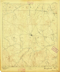
1887 · Mason
USGS Topo · 1:125,000
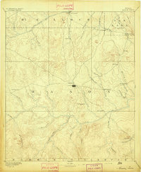
1894 · Mason
USGS Topo · 1:125,000
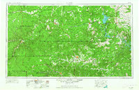
1954 · Llano
USGS Topo · 1:250,000
1955 · Llano
USGS Topo · 1:250,000
1956 · Llano
USGS Topo · 1:250,000
1962 · Purdy Hill
USGS Topo · 1:24,000
1963 · Spy Rock
USGS Topo · 1:24,000
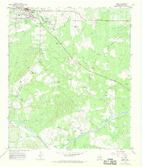
1967 · Mason
USGS Topo · 1:24,000
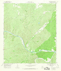
1968 · Turtle Creek
USGS Topo · 1:24,000
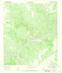
1968 · Sheep Run Creek
USGS Topo · 1:24,000