
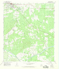
1962 Map of Purdy Hill
USGS Topo · Published 1964About this map
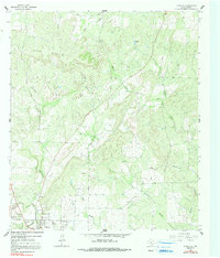
The Mason Mountains dominate the upper half of this mid-century survey, a landscape where the rugged uplift gives way to the lower-elevation settlement of Mason. This county seat is documented at a period of transition, showing the concentration of civic life around the Athletic Field and Roadside Park while rural life persists in the nearby community of Koockville. The map is particularly dense with genealogical data, preserving the locations of numerous family and community burial grounds including Behrens Cem, Crosby Cem, and the adjacent Old Gooch Cem New Gooch Cem. The drainage patterns of Willow Creek, Wolf Creek, and Mitchell Creek define the local topography, which is also shaped by extractive industries like the Quarry and various Gravel Pits north of town. This survey captures the intersection of ranching, local industry, and established township before modern expansion significantly altered the outlying creek beds.
Find a feature on this map
25 named features on this map. Tap any name to fly to it.
Don’t see what you’re looking for? This feature index may not catch every label — zoom into the map to look around manually.
Map Details
Editions of this 1962 Purdy Hill Map
2 editions found
Other maps of this area

1887 · Mason
USGS Topo · 1:125,000

1894 · Mason
USGS Topo · 1:125,000

1954 · Llano
USGS Topo · 1:250,000

1955 · Llano
USGS Topo · 1:250,000

1956 · Llano
USGS Topo · 1:250,000
1962 · Fly Gap
USGS Topo · 1:24,000
1962 · Fredonia
USGS Topo · 1:24,000

1963 · Spy Rock
USGS Topo · 1:24,000
1967 · Art
USGS Topo · 1:24,000
1967 · Mason
USGS Topo · 1:24,000