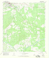
1967 Map of Mason
USGS Topo · Published 1970About this map
The town of Mason serves as the focal point for this late-1960s survey, characterized by its position at the intersection of several regional routes and its relationship to the surrounding Edwards Plateau landscape. This era shows a community in transition, balancing its traditional ranching roots with mid-century infrastructure such as the Mason County Airport and a Drive-in Theatre located near Hick Springs. The topographic detail reveals how local watercourses like Comanche Creek and Wolf Branch have shaped the settlement patterns and roadway alignments leading south toward the Llano River.
Find a feature on this map
24 named features on this map. Tap any name to fly to it.
Don’t see what you’re looking for? This feature index may not catch every label — zoom into the map to look around manually.
Map Details
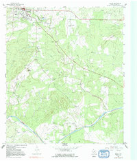
Editions of this 1967 Mason Map
2 editions found
Other maps of this area

1887 · Mason
USGS Topo · 1:125,000

1894 · Mason
USGS Topo · 1:125,000

1954 · Llano
USGS Topo · 1:250,000

1955 · Llano
USGS Topo · 1:250,000

1956 · Llano
USGS Topo · 1:250,000

1962 · Purdy Hill
USGS Topo · 1:24,000
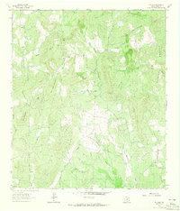
1962 · Fly Gap
USGS Topo · 1:24,000
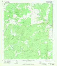
1967 · Loyal Valley
USGS Topo · 1:24,000
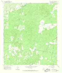
1967 · Panther Creek
USGS Topo · 1:24,000
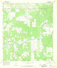
1967 · Art
USGS Topo · 1:24,000