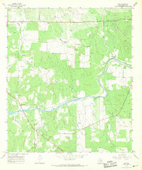
1967 Map of Art
USGS Topo · Published 1969About this map
The small community of Art serves as a focal point in this 1967 survey of Mason County, where the landscape is defined by the winding course of the Llano River. This region is particularly rich for genealogical research, documenting several family and community burial sites such as the West Art Cem, East Art Cem, and the riverside Kothmann Cem. The terrain rises toward Hedwigs Hill in the south, while the hydrography is marked by numerous seasonal drainages and springs, including Mulberry Spring and Twelvemile Creek. The mapping of fine red dashed lines indicating fence lines suggests a rural economy tied to land division and livestock, punctuated by local landmarks like the Roadside Park and the Gaging Sta on the riverbanks.
Find a feature on this map
26 named features on this map. Tap any name to fly to it.
Don’t see what you’re looking for? This feature index may not catch every label — zoom into the map to look around manually.
Map Details
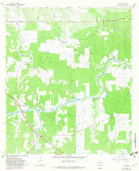
Editions of this 1967 Art Map
2 editions found
Other maps of this area

1887 · Llano
USGS Topo · 1:125,000

1887 · Mason
USGS Topo · 1:125,000

1894 · Mason
USGS Topo · 1:125,000

1894 · Llano
USGS Topo · 1:125,000

1904 · Llano
USGS Topo · 1:125,000

1909 · Llano
USGS Topo · 1:125,000

1918 · Llano
USGS Topo · 1:125,000

1954 · Llano
USGS Topo · 1:250,000

1955 · Llano
USGS Topo · 1:250,000
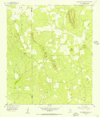
1955 · Smoothingiron Mountain
USGS Topo · 1:24,000