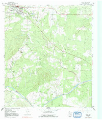
1967 Map of Mason
USGS Topo · Published 1991About this map
The town of Mason serves as the central hub of this Central Texas landscape, shown here at a time when the rural character of the county remained largely intact. The settlement pattern reflects a reliance on the area's numerous waterways, with Comanche Creek and the Llano River carving through the limestone-influenced terrain. Cultural landmarks of the mid-20th century are well represented, including the High Sch, a Radio Tower, and the local Rodeo Ground and Drive-in Theatre near the town center.
Find a feature on this map
28 named features on this map. Tap any name to fly to it.
Don’t see what you’re looking for? This feature index may not catch every label — zoom into the map to look around manually.
Map Details
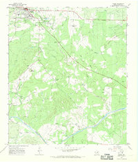
Editions of this 1967 Mason Map
2 editions found
Other maps of this area

1887 · Mason
USGS Topo · 1:125,000

1894 · Mason
USGS Topo · 1:125,000

1954 · Llano
USGS Topo · 1:250,000

1955 · Llano
USGS Topo · 1:250,000

1956 · Llano
USGS Topo · 1:250,000

1962 · Purdy Hill
USGS Topo · 1:24,000
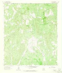
1962 · Fly Gap
USGS Topo · 1:24,000
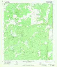
1967 · Loyal Valley
USGS Topo · 1:24,000
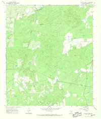
1967 · Panther Creek
USGS Topo · 1:24,000
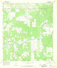
1967 · Art
USGS Topo · 1:24,000