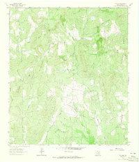
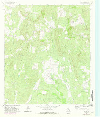
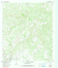
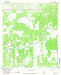
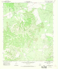
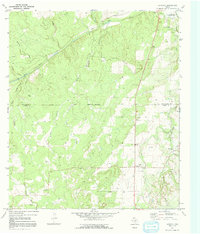
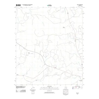
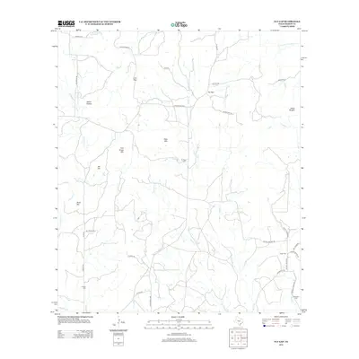
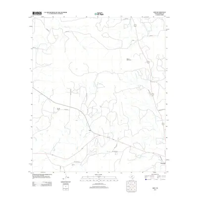
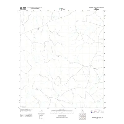
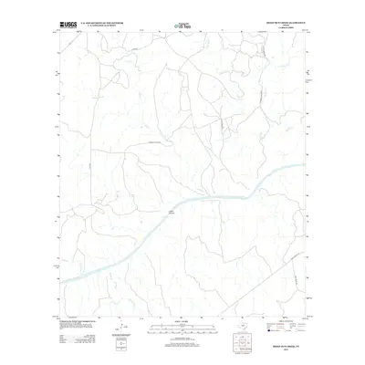
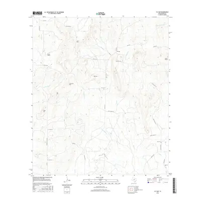
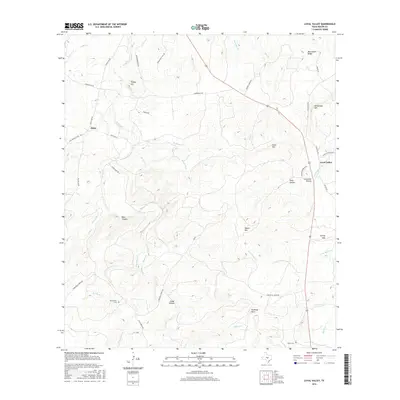
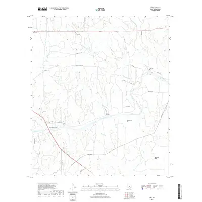
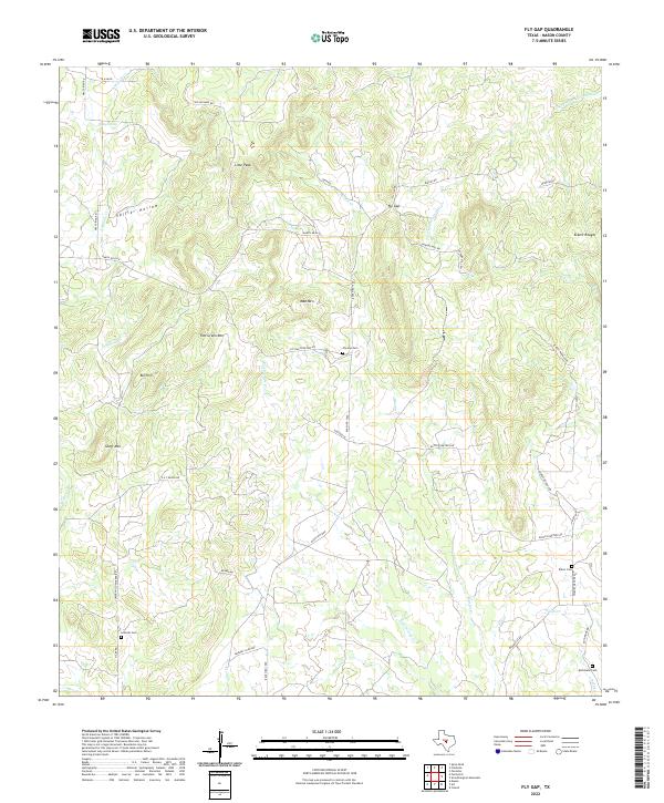
1962 Map of Fly Gap
USGS Topo · Published 1965About this map
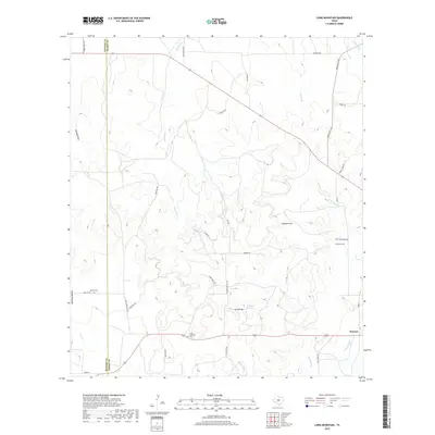
Fly Gap is established at the intersection of local cattle and ranching trails in the heart of Mason County during the early 1960s. This landscape is defined by its drainages, where the South Fork San Fernando Creek and Martin Creek cut through the limestone terrain. The map documents a rural community centered around the Fly Gap Sch and Fly Gap Cem, reflecting a pattern of settlement where life revolved around small local institutions and family-held lands.
Find a feature on this map
34 named features on this map. Tap any name to fly to it.
Don’t see what you’re looking for? This feature index may not catch every label — zoom into the map to look around manually.
Map Details
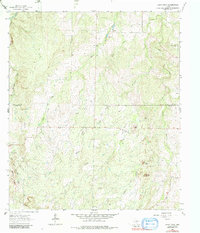
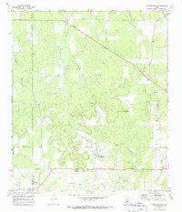
Editions of this 1962 Fly Gap Map
2 editions found
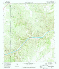
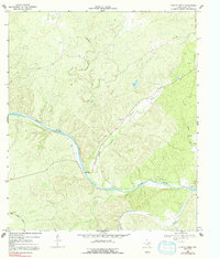
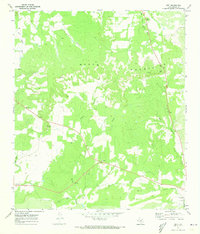
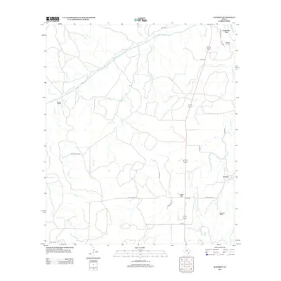
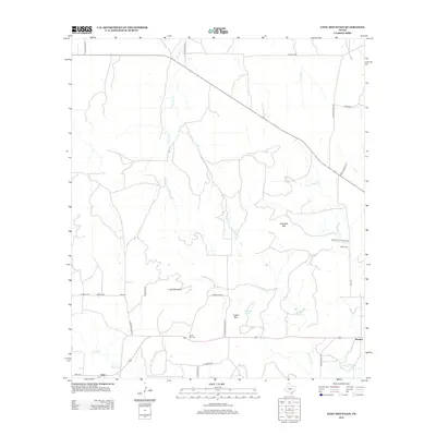
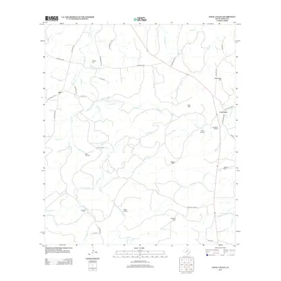
Historical Maps of Mason County Through Time
78 maps found
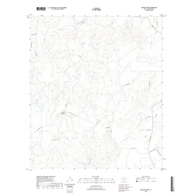
1962 Fly Gap
Mason County, TX
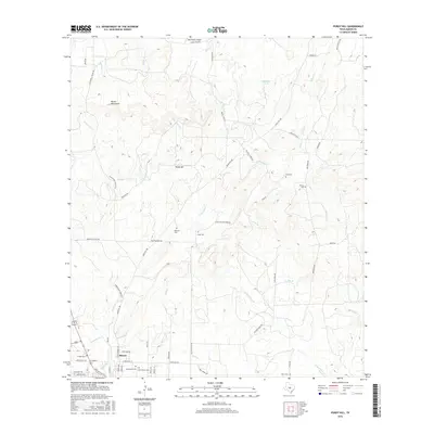
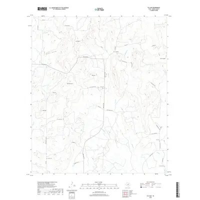
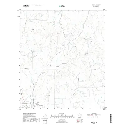
1962 Purdy Hill
Mason County, TX
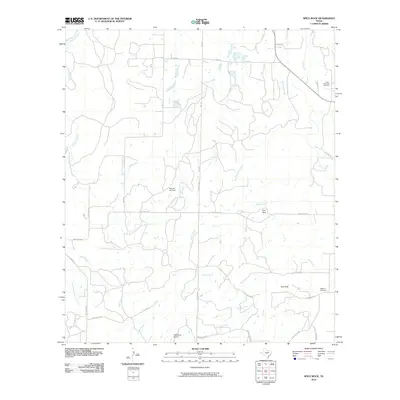
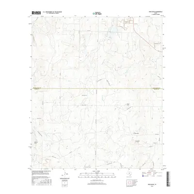
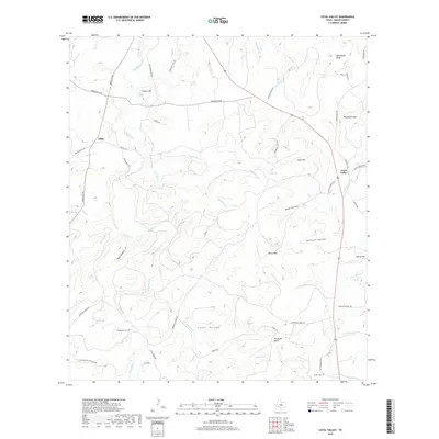
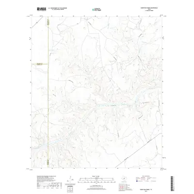
1963 Spice Rock
Mason County, TX
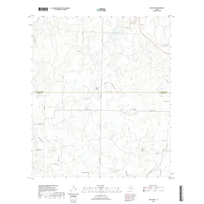
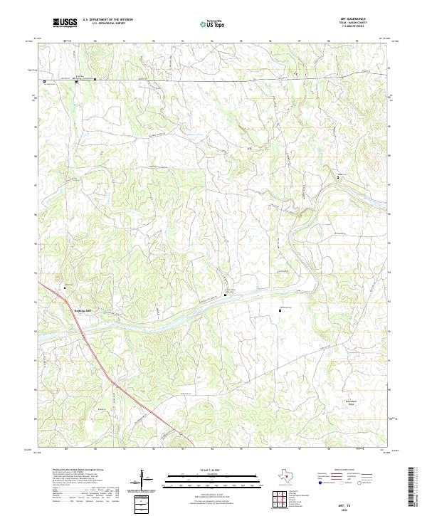
1967 Art
Mason County, TX
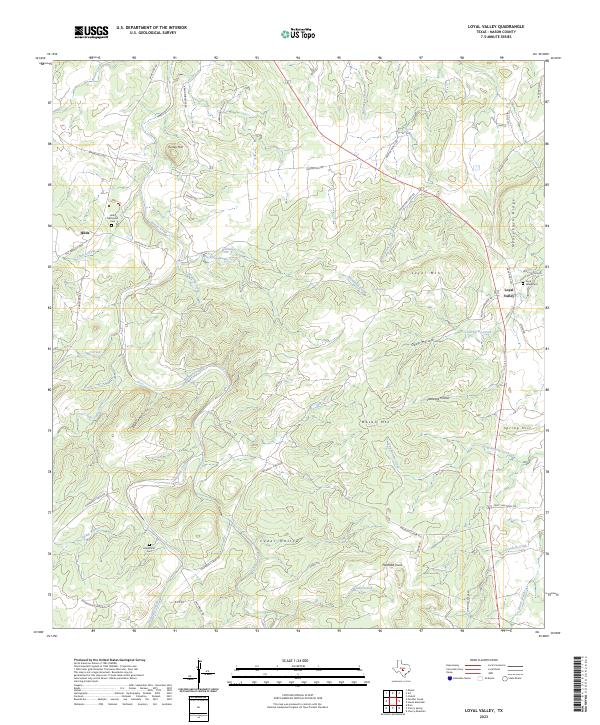
1967 Loyal Valley
Mason County, TX
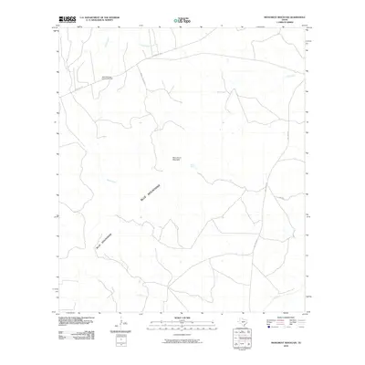
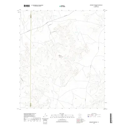
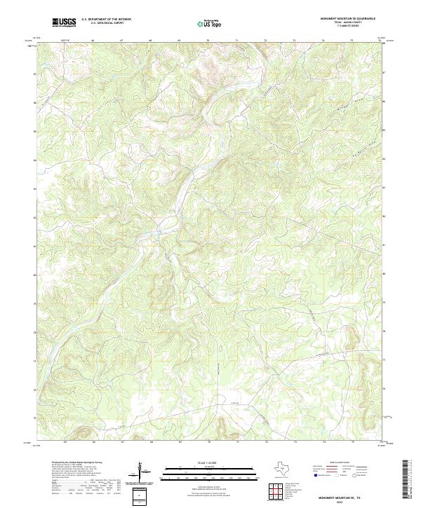
1967 Monument Mountain SE
Mason County, TX
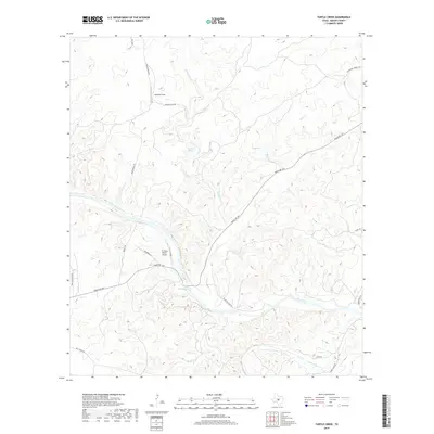
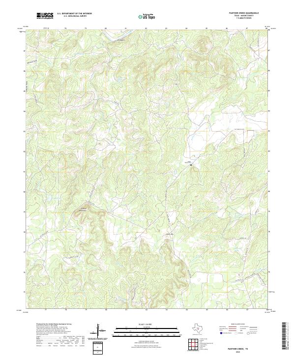
1967 Panther Creek
Mason County, TX
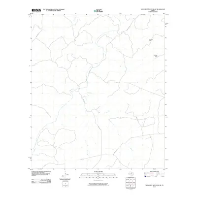
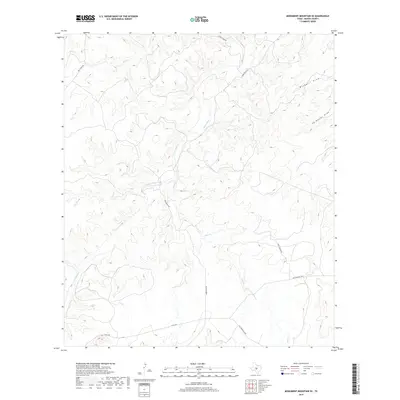
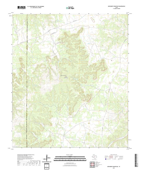
1968 Monument Mountain
Mason County, TX
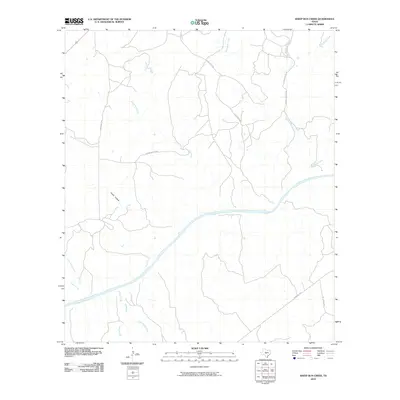
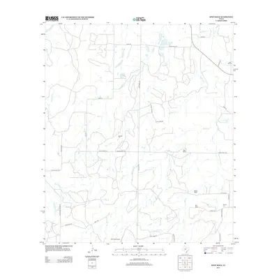
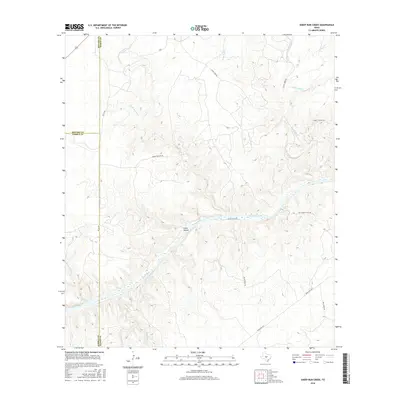
1968 Sheep Run Creek
Mason County, TX
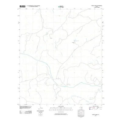
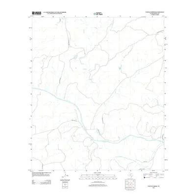
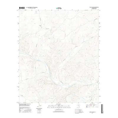
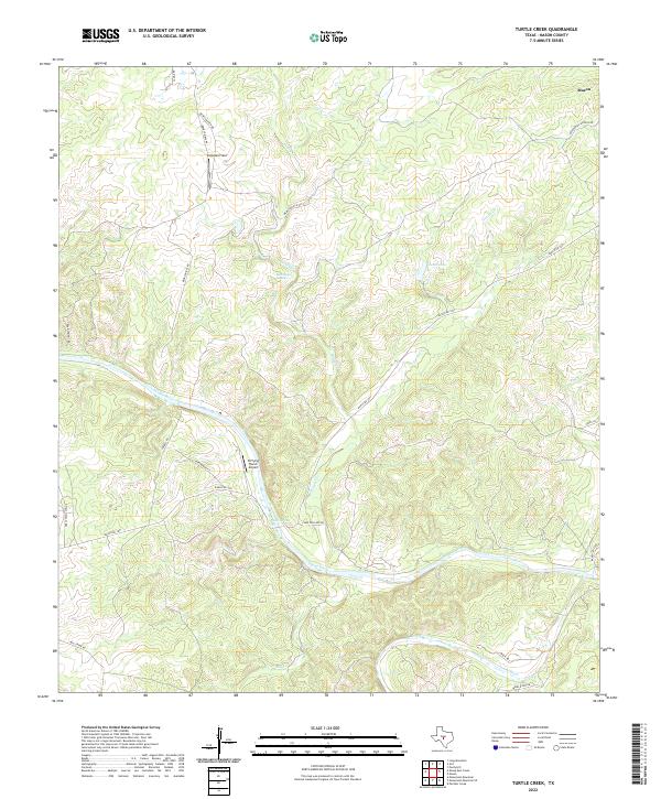
1968 Turtle Creek
Mason County, TX
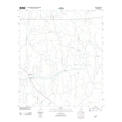
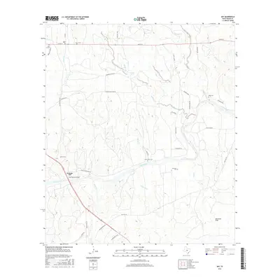
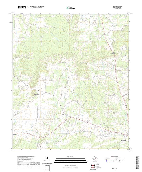
1970 Grit
Mason County, TX
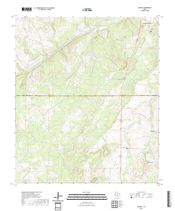
1970 Katemcy
Mason County, TX
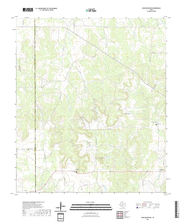
1970 Long Mountain
Mason County, TX
2010 Art
Mason County, TX
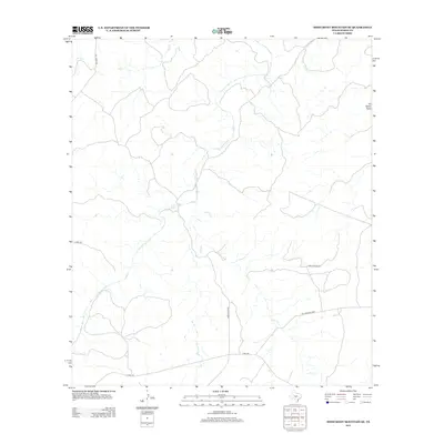
2010 Fly Gap
Mason County, TX
2010 Grit
Mason County, TX
2010 Katemcy
Mason County, TX
2010 Long Mountain
Mason County, TX
2010 Loyal Valley
Mason County, TX
2010 Monument Mountain
Mason County, TX
2010 Monument Mountain SE
Mason County, TX
2010 Panther Creek
Mason County, TX

2010 Purdy Hill
Mason County, TX
2010 Sheep Run Creek
Mason County, TX
2010 Spice Rock
Mason County, TX
2010 Turtle Creek
Mason County, TX
2012 Art
Mason County, TX
2012 Fly Gap
Mason County, TX
2012 Grit
Mason County, TX
2012 Katemcy
Mason County, TX
2012 Long Mountain
Mason County, TX
2012 Loyal Valley
Mason County, TX
2012 Monument Mountain
Mason County, TX
2012 Monument Mountain SE
Mason County, TX
2012 Panther Creek
Mason County, TX
2012 Purdy Hill
Mason County, TX
2012 Sheep Run Creek
Mason County, TX
2012 Turtle Creek
Mason County, TX
2013 Spice Rock
Mason County, TX
2016 Art
Mason County, TX
2016 Fly Gap
Mason County, TX
2016 Grit
Mason County, TX
2016 Katemcy
Mason County, TX
2016 Long Mountain
Mason County, TX
2016 Loyal Valley
Mason County, TX
2016 Monument Mountain
Mason County, TX
2016 Monument Mountain SE
Mason County, TX
2016 Panther Creek
Mason County, TX
2016 Purdy Hill
Mason County, TX
2016 Sheep Run Creek
Mason County, TX
2016 Spice Rock
Mason County, TX
2016 Turtle Creek
Mason County, TX
2019 Art
Mason County, TX
2019 Fly Gap
Mason County, TX
2019 Grit
Mason County, TX
2019 Katemcy
Mason County, TX
2019 Long Mountain
Mason County, TX
2019 Loyal Valley
Mason County, TX
2019 Monument Mountain
Mason County, TX
2019 Monument Mountain SE
Mason County, TX
2019 Panther Creek
Mason County, TX
2019 Purdy Hill
Mason County, TX
2019 Sheep Run Creek
Mason County, TX
2019 Spice Rock
Mason County, TX
2019 Turtle Creek
Mason County, TX
2022 Art
Mason County, TX
2022 Fly Gap
Mason County, TX
2022 Grit
Mason County, TX
2022 Katemcy
Mason County, TX
2022 Long Mountain
Mason County, TX
2022 Monument Mountain
Mason County, TX
2022 Monument Mountain SE
Mason County, TX
2022 Panther Creek
Mason County, TX
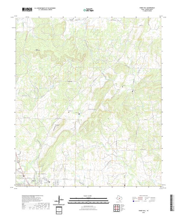
2022 Purdy Hill
Mason County, TX
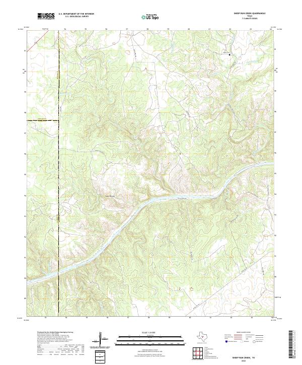
2022 Sheep Run Creek
Mason County, TX
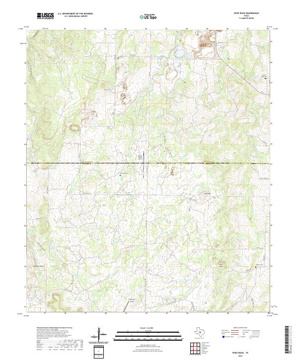
2022 Spice Rock
Mason County, TX
2022 Turtle Creek
Mason County, TX
2023 Loyal Valley
Mason County, TX