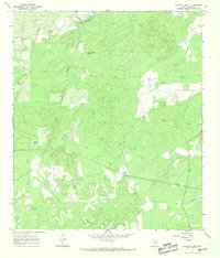
1967 Map of Panther Creek
USGS Topo · Published 1969About this map
The Llano River cuts through the northern reaches of this Hill Country landscape, framed by the prominent Hill Bluffs. The terrain is defined by the Cannon Mountains and numerous drainage systems including Schep Creek, Rocky Creek, and Panther Creek. This mid-century survey reveals a rural landscape where water sources were critical for ranching, evidenced by several named springs like Eckert Spring and Quella Bottom Spring, along with a traditional Windmill. Small-scale infrastructure such as a Landing Strip and a Ranger Camp suggest the area's utility for both private aviation and land management. Genealogists may find interest in the Bober Cem, a small burial site situated near a spring-fed tributary of Deer Creek.
Find a feature on this map
24 named features on this map. Tap any name to fly to it.
Don’t see what you’re looking for? This feature index may not catch every label — zoom into the map to look around manually.
Map Details
Editions of this 1967 Panther Creek Map
2 editions found
Other maps of this area

1887 · Mason
USGS Topo · 1:125,000

1894 · Mason
USGS Topo · 1:125,000

1894 · Kerrville
USGS Topo · 1:125,000

1954 · Llano
USGS Topo · 1:250,000

1955 · Llano
USGS Topo · 1:250,000

1956 · Llano
USGS Topo · 1:250,000
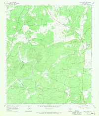
1967 · Loyal Valley
USGS Topo · 1:24,000
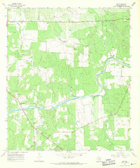
1967 · Art
USGS Topo · 1:24,000
1967 · Doss
USGS Topo · 1:24,000
1967 · Cherry Spring
USGS Topo · 1:24,000