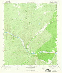
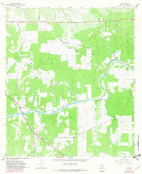
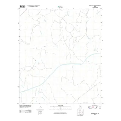
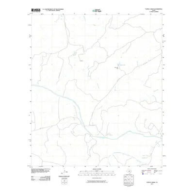
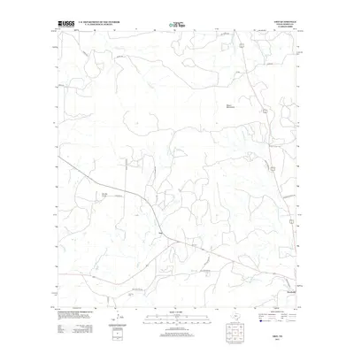
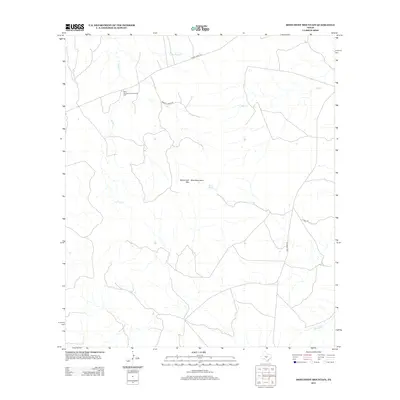
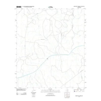
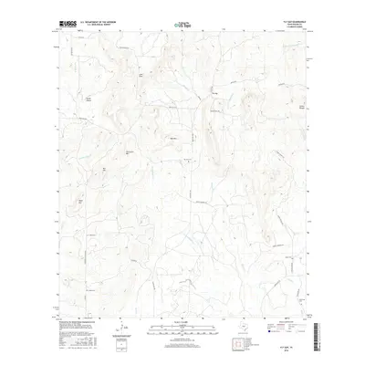
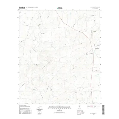
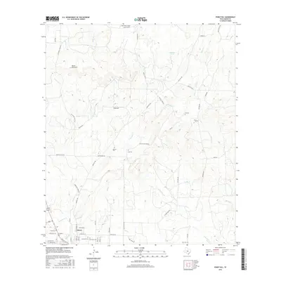
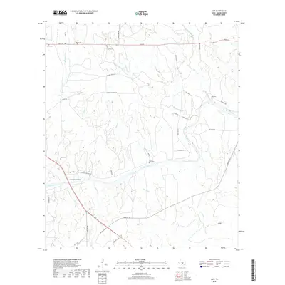
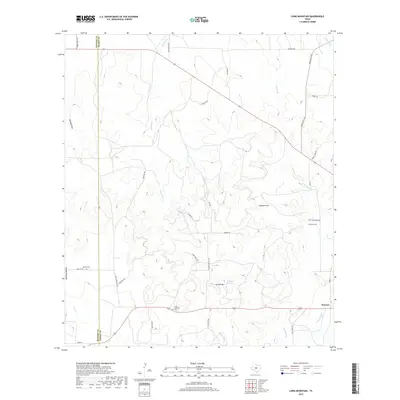
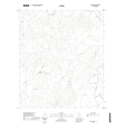
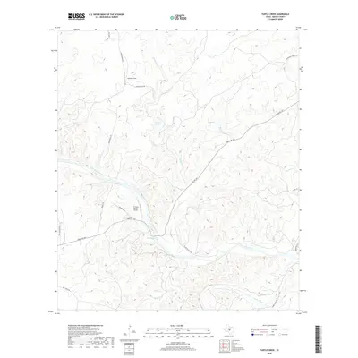
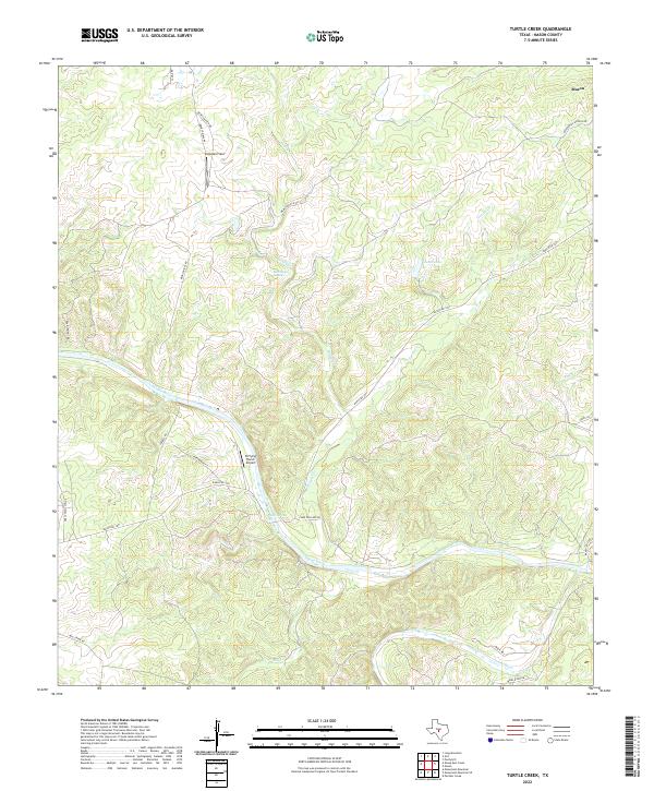
1968 Map of Turtle Creek
USGS Topo · Published 1970About this map
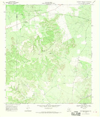
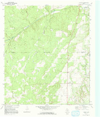
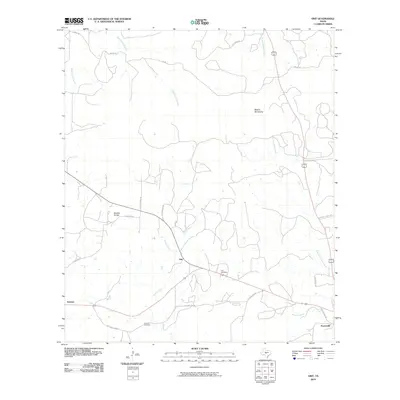
The Llano River winds through the heart of this Mason County landscape, carving a deep path where it meets the waters of the James River. This 1968 survey captures the Hill Country’s rural character, dominated by watercourses and the practical infrastructure of ranching and early industry. To the south, James River Road follows the waterway's contour, providing access to a small Cem and several Gravel Pits near the riverbanks. The drainage network is dense, with Honey Creek and Turtle Creek feeding into the Llano from the north, while Mill Creek joins the James River from the southwest. Human presence is sparse but distinct, marked by a lone Corral and isolated wells, suggesting a landscape primarily utilized for livestock and mineral extraction in the late 1960s.
Find a feature on this map
12 named features on this map. Tap any name to fly to it.
Don’t see what you’re looking for? This feature index may not catch every label — zoom into the map to look around manually.
Map Details
Editions of this 1968 Turtle Creek Map
2 editions found
Historical Maps of Mason Through Time
78 maps found
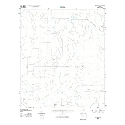
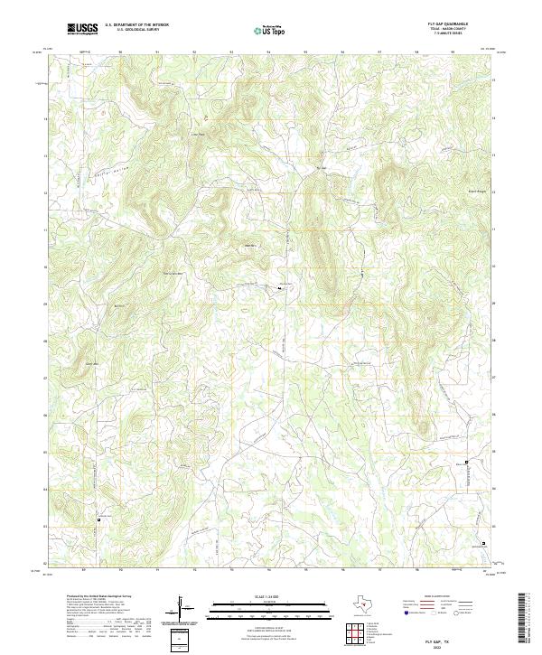
1962 Fly Gap
Mason County, TX
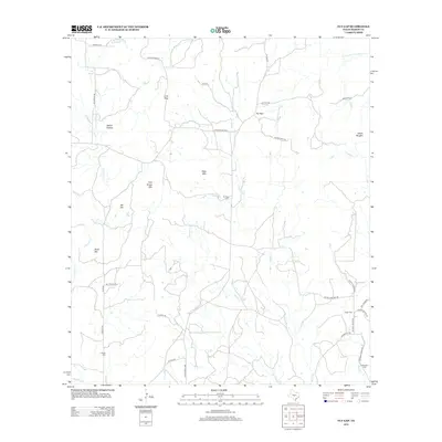
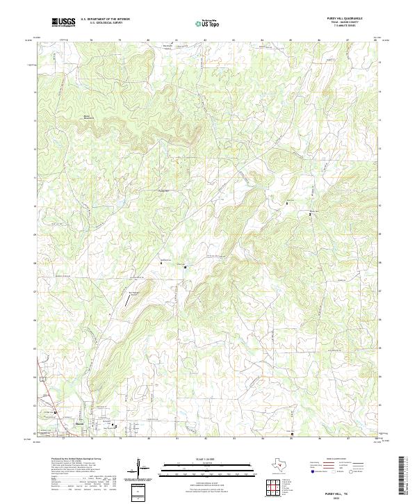
1962 Purdy Hill
Mason County, TX
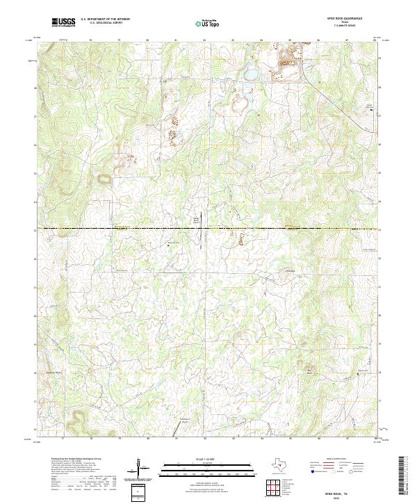
1963 Spice Rock
Mason County, TX
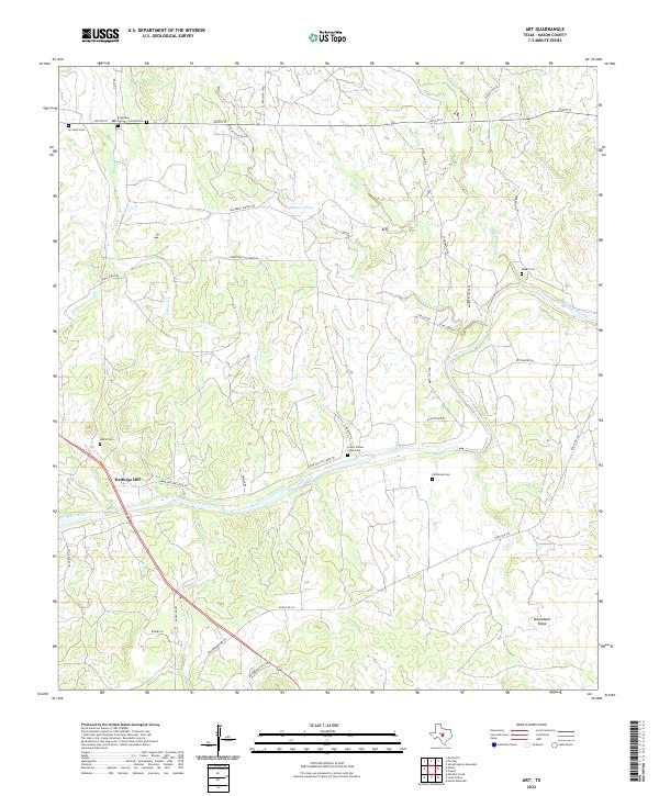
1967 Art
Mason County, TX
1967 Loyal Valley
Mason County, TX
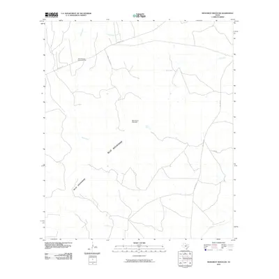
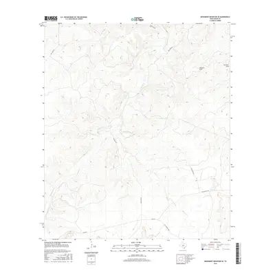
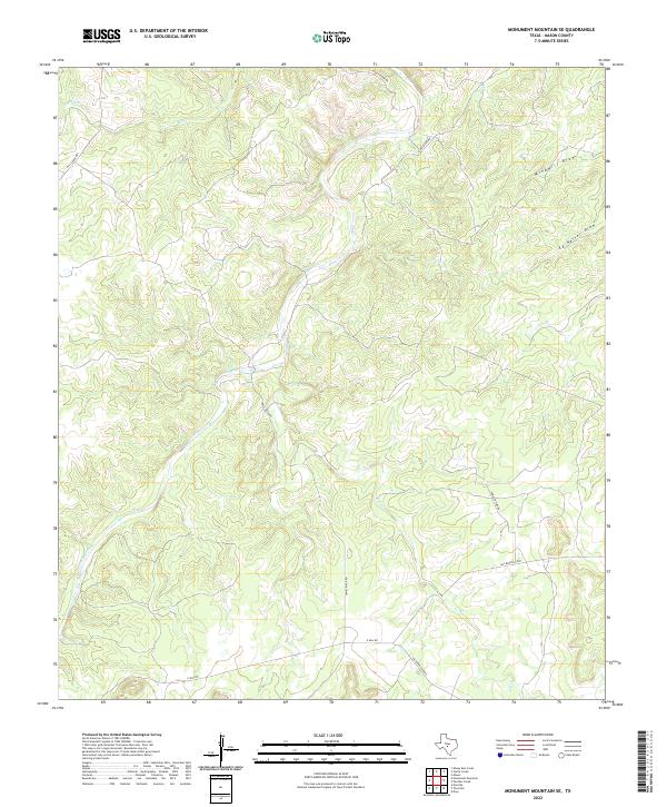
1967 Monument Mountain SE
Mason County, TX
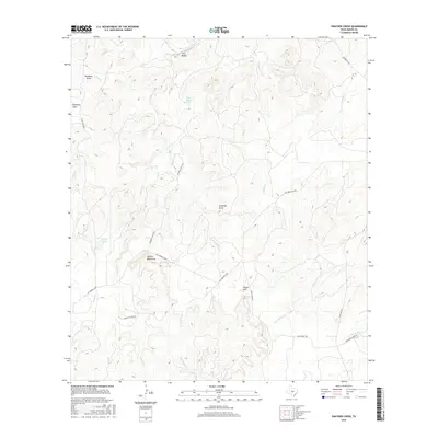
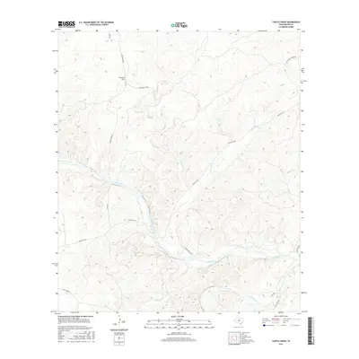
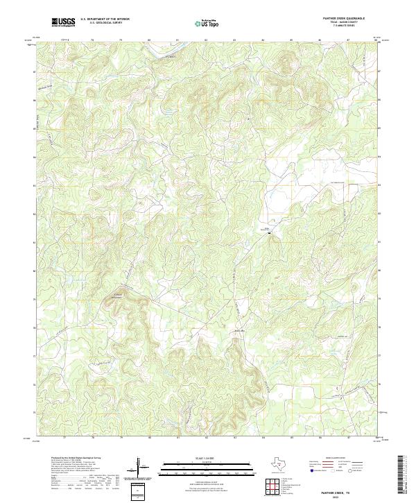
1967 Panther Creek
Mason County, TX
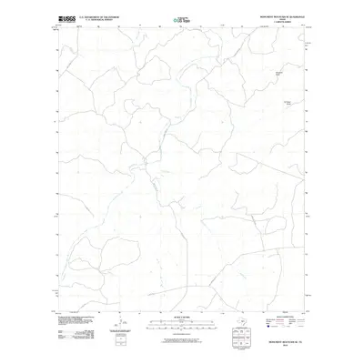
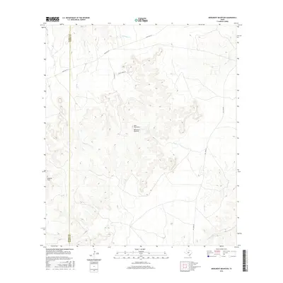
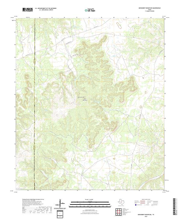
1968 Monument Mountain
Mason County, TX
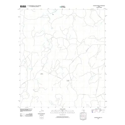
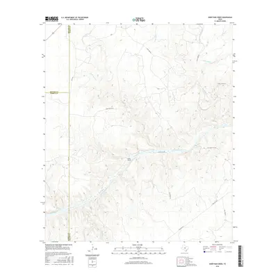
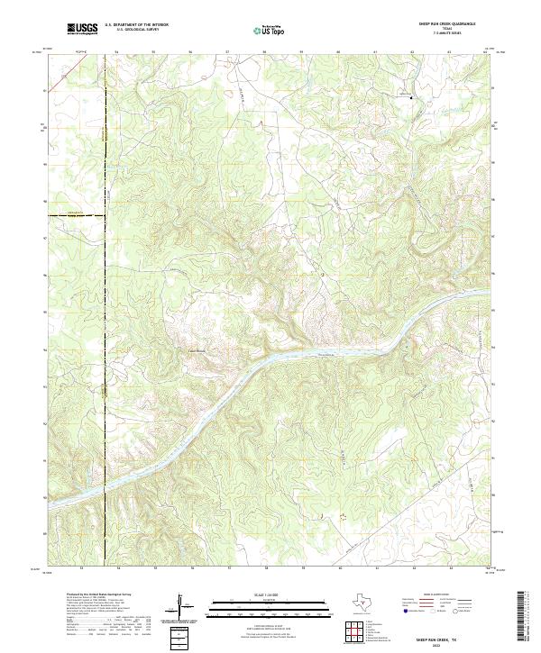
1968 Sheep Run Creek
Mason County, TX
1968 Turtle Creek
Mason County, TX
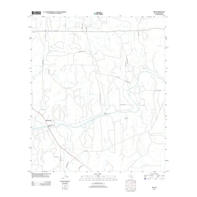
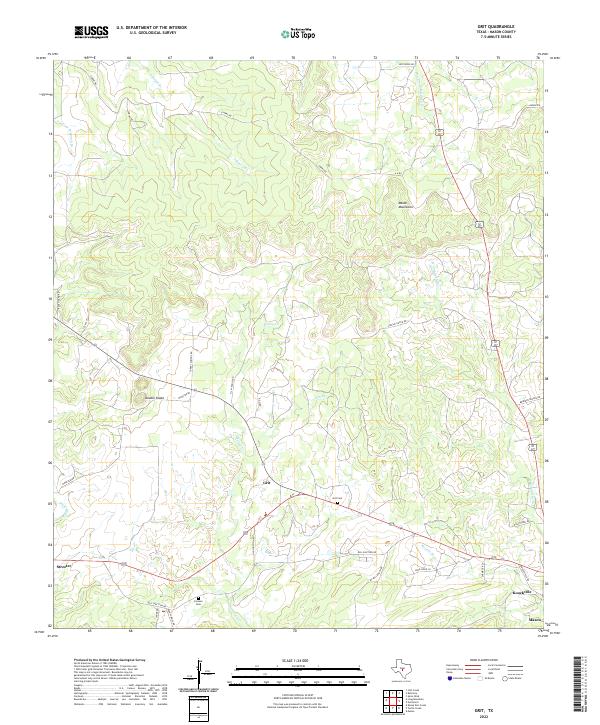
1970 Grit
Mason County, TX
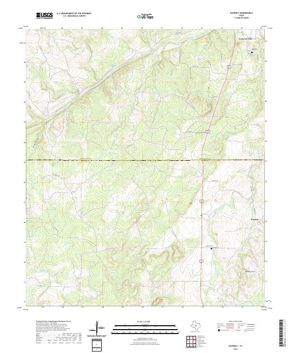
1970 Katemcy
Mason County, TX
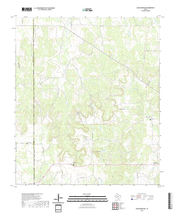
1970 Long Mountain
Mason County, TX
2010 Art
Mason County, TX
2010 Fly Gap
Mason County, TX
2010 Grit
Mason County, TX
2010 Katemcy
Mason County, TX
2010 Long Mountain
Mason County, TX
2010 Loyal Valley
Mason County, TX
2010 Monument Mountain
Mason County, TX
2010 Monument Mountain SE
Mason County, TX
2010 Panther Creek
Mason County, TX

2010 Purdy Hill
Mason County, TX
2010 Sheep Run Creek
Mason County, TX
2010 Spice Rock
Mason County, TX
2010 Turtle Creek
Mason County, TX
2012 Art
Mason County, TX
2012 Fly Gap
Mason County, TX
2012 Grit
Mason County, TX
2012 Katemcy
Mason County, TX
2012 Long Mountain
Mason County, TX
2012 Loyal Valley
Mason County, TX
2012 Monument Mountain
Mason County, TX
2012 Monument Mountain SE
Mason County, TX
2012 Panther Creek
Mason County, TX
2012 Purdy Hill
Mason County, TX
2012 Sheep Run Creek
Mason County, TX
2012 Turtle Creek
Mason County, TX
2013 Spice Rock
Mason County, TX
2016 Art
Mason County, TX
2016 Fly Gap
Mason County, TX
2016 Grit
Mason County, TX
2016 Katemcy
Mason County, TX
2016 Long Mountain
Mason County, TX
2016 Loyal Valley
Mason County, TX
2016 Monument Mountain
Mason County, TX
2016 Monument Mountain SE
Mason County, TX
2016 Panther Creek
Mason County, TX
2016 Purdy Hill
Mason County, TX
2016 Sheep Run Creek
Mason County, TX
2016 Spice Rock
Mason County, TX
2016 Turtle Creek
Mason County, TX
2019 Art
Mason County, TX
2019 Fly Gap
Mason County, TX
2019 Grit
Mason County, TX
2019 Katemcy
Mason County, TX
2019 Long Mountain
Mason County, TX
2019 Loyal Valley
Mason County, TX
2019 Monument Mountain
Mason County, TX
2019 Monument Mountain SE
Mason County, TX
2019 Panther Creek
Mason County, TX
2019 Purdy Hill
Mason County, TX
2019 Sheep Run Creek
Mason County, TX
2019 Spice Rock
Mason County, TX
2019 Turtle Creek
Mason County, TX
2022 Art
Mason County, TX
2022 Fly Gap
Mason County, TX
2022 Grit
Mason County, TX
2022 Katemcy
Mason County, TX
2022 Long Mountain
Mason County, TX
2022 Monument Mountain
Mason County, TX
2022 Monument Mountain SE
Mason County, TX
2022 Panther Creek
Mason County, TX
2022 Purdy Hill
Mason County, TX
2022 Sheep Run Creek
Mason County, TX
2022 Spice Rock
Mason County, TX
2022 Turtle Creek
Mason County, TX
2023 Loyal Valley
Mason County, TX