Old Maps of Palacios, Texas for Genealogy
Trace your family roots with 18 historic maps of Palacios. These high-res maps reveal old neighborhoods, homesites, landmarks, and streets — helping you uncover where your ancestors lived and how the area evolved over time.
- Explore historic neighborhoods: Identify where your relatives may have lived in the 1800s or 1900s.
- Compare maps over time: Trace the changes in streets, buildings, and landmarks for multi-generational research.
- Perfect for genealogy & ancestry research: Used by family historians and researchers to map out lineage and migration.
These maps are an incredible resource for exploring your personal connection to Palacios's past.
Palacios, TX maps
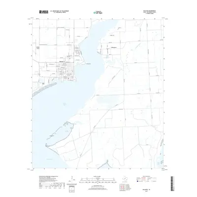
(18)- 1952 Map of Palacios, 1953 Print
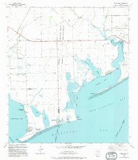
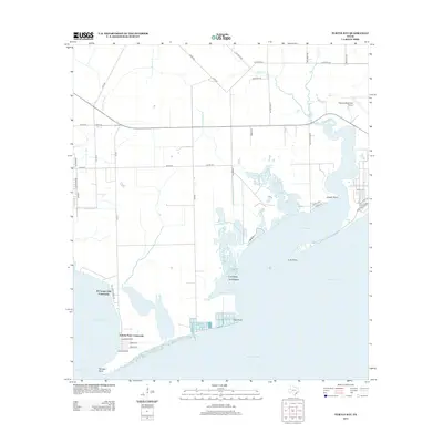
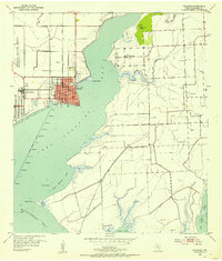 1952 Palacios1953 Print · USGSThe Matagorda County coastline comes alive in the early fifties, showing the strategic position of Palacios at the head of the bay. Researchers can trace the layout of Camp Hulen, locate the Collegeport Cem, and see the early network of Gas Wells.3 unique versions available
 - 1952 Map of Turtle Bay, 1953 Print
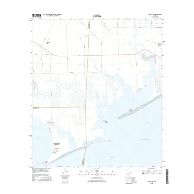
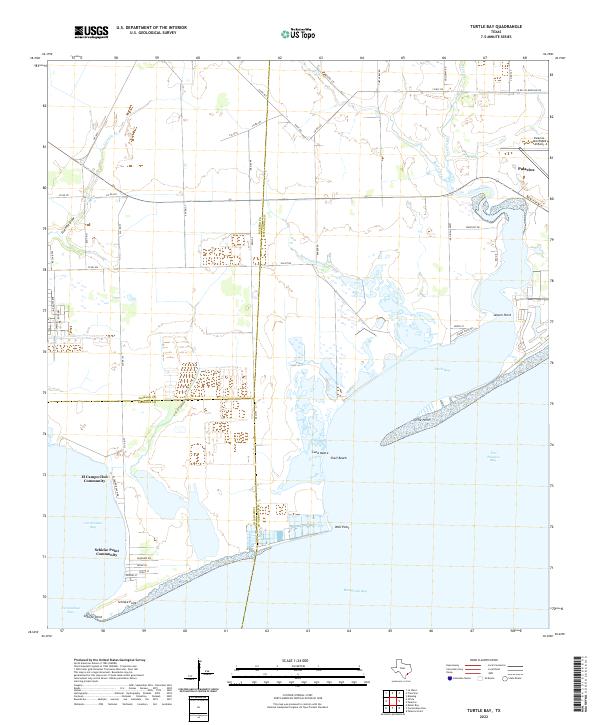
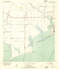 1952 Turtle Bay1953 Print · USGSThe Matagorda County coastline during the early fifties reveals a landscape of coastal defenses and aviation infrastructure. Researchers can locate Camp Hulen, the Palacios Municipal Airport, and rural landmarks like Carancahua Ch.3 unique versions available
 - 1953 Map of Beeville
 1953 Beeville1953 Print · USGSThe Texas Coastal Bend in the early fifties shows a landscape of growing regional hubs and vital maritime corridors. Trace the rail-and-river economy through Goliad, locate the Matagorda Lighthouse, and explore the sprawling Aransas National Wildlife Refuge.
 - 1956 Map of Beeville
 1956 Beeville1956 Print · USGSCoastal Texas and the brush country interior are shown in the mid-fifties, from the coastal bays to the inland oil fields. Trace the old rail lines of the Southern Pacific RR or locate the historic Matagorda Lighthouse and the Aransas National Wildlife Refuge.2 unique versions available
 - 1960 Map of Beeville
 1960 Beeville1960 Print · USGSCoastal Texas in the mid-fifties reveals a landscape of growing towns and vital military outposts like Foster AFB. Researchers can trace old rail lines including the Missouri Pacific and explore the vast Aransas National Wildlife Refuge.
 - 1984 Map of Port Lavaca
 1984 Port Lavaca1984 Print · USGSCoastal Texas in the mid-1980s reveals a landscape of industrial waterways and historic rail corridors. Genealogists and historians can trace family roots through settlements like Bloomington and La Ward or explore the transit networks of the Southern Pacific and Missouri Pacific.
 - 1995 Map of Palacios
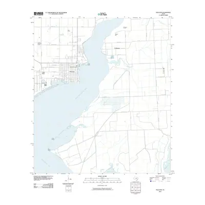
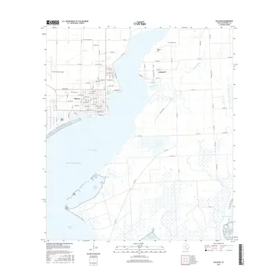
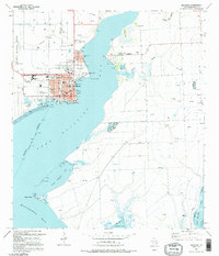 1995 Palacios1995 Print · USGSCoastal life in Matagorda County centers on the bayfront in the 1990s, where the city of Palacios meets the tide. Genealogists and researchers can map out the town grid or locate outlying landmarks like the Collegeport Cem and the Fish Hatchery.
 - 1995 Map of Turtle Bay
 1995 Turtle Bay1995 Print · USGSThe Texas Gulf Coast near the Jackson and Matagorda county lines is captured here in the mid-nineties as aquaculture and coastal communities shaped the shore. Trace family footprints in the Schicke Point Community or study the marshes around Buttermilk Slough and Sartwelle Lakes.
 - 2010 Map of Palacios, 2010 Print
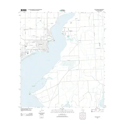
 2010 Palacios2010 Print · USGSCovers Palacios, including Camp Hulen, Collegeport, and other nearby areas
 - 2010 Map of Turtle Bay, 2010 Print
 2010 Turtle Bay2010 Print · USGSCovers Palacios, including El Campo Club Community, Schicke Point Community, and other nearby areas
 - 2013 Map of Palacios, 2013 Print
 2013 Palacios2013 Print · USGSCovers Palacios, including Camp Hulen, Collegeport, and other nearby areas
 - 2013 Map of Turtle Bay, 2013 Print
 2013 Turtle Bay2013 Print · USGSCovers Palacios, including El Campo Club Community, Schicke Point Community, and other nearby areas
 - 2016 Map of Palacios, 2016 Print
 2016 Palacios2016 Print · USGSCovers Palacios, including Camp Hulen, Collegeport, and other nearby areas
 - 2016 Map of Turtle Bay, 2016 Print
 2016 Turtle Bay2016 Print · USGSCovers Palacios, including El Campo Club Community, Schicke Point Community, and other nearby areas
 - 2019 Map of Turtle Bay, 2019 Print
 2019 Turtle Bay2019 Print · USGSCovers Palacios, including El Campo Club Community, Schicke Point Community, and other nearby areas
 - 2019 Map of Palacios, 2019 Print
 2019 Palacios2019 Print · USGSCovers Palacios, including Camp Hulen, Collegeport, and other nearby areas
 - 2022 Map of Palacios, 2022 Print
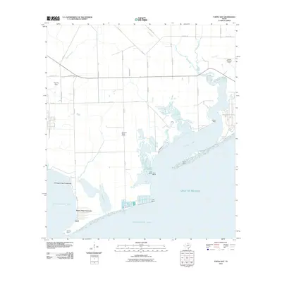
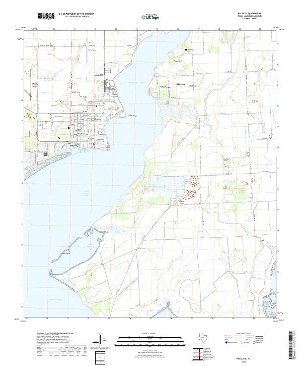 2022 Palacios2022 Print · USGSThe Matagorda County coast comes into focus in this recent survey of Palacios and Collegeport. Genealogists and researchers can pinpoint local landmarks like the Palacios Cem, the Palacios Municipal Airport, and the varied shoreline of Tres Palacios Bay.
 - 2022 Map of Turtle Bay, 2022 Print
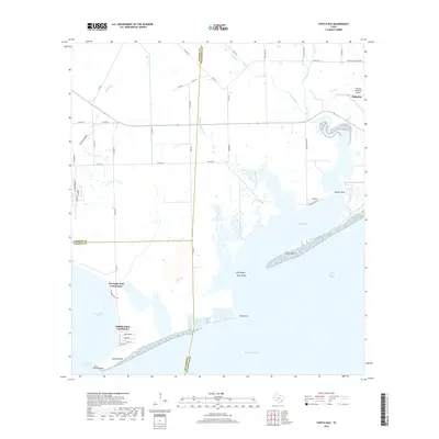
 2022 Turtle Bay2022 Print · USGSThe Matagorda County coastline near the start of the 2020s shows a landscape of tidal inlets and established bayfront communities. Genealogists and locals can trace the development of Palacios and coastal enclaves like the Schicke Point Community and El Campo Club Community.
End of results
Showing maps 1-18 of 18
Top cities near Palacios
Frequently asked questions
- What are the different types of historical maps available for Palacios?
- What is the oldest map of Palacios?
- Where can I purchase historical maps of Palacios for my home or office?
- Where can I download high-res historical maps of Palacios?
- Are there historical topographic maps available for Palacios?
- Is there historical aerial imagery available for Palacios?
- Where are historical maps of Palacios sourced from?