
1952 Map of Palacios
USGS Topo · Published 1953About this map
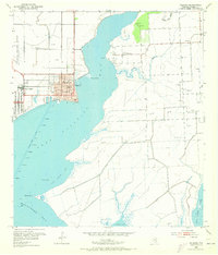
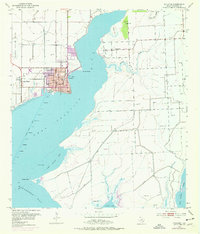
Camp Hulen occupies the western edge of this coastal survey, reflecting its transition from a pre-war training site to its mid-century state. The community of Palacios serves as the focal point at the junction of the Southern Pacific railroad and the waters of Tres Palacios Bay. The town's grid is well-established, featuring both a High Sch and Jr High Sch near the waterfront. To the east, across the bay, the smaller settlement of Collegeport is surrounded by the Collegeport Cem and several windmills, illustrating a more dispersed agricultural character.
Find a feature on this map
27 named features on this map. Tap any name to fly to it.
Don’t see what you’re looking for? This feature index may not catch every label — zoom into the map to look around manually.
Map Details
Editions of this 1952 Palacios Map
Other maps of this area

1952 · Palacios SE
USGS Topo · 1:24,000

1952 · Palacios Point
USGS Topo · 1:24,000

1952 · Blessing SE
USGS Topo · 1:24,000

1952 · Turtle Bay
USGS Topo · 1:24,000

1952 · Francitas
USGS Topo · 1:24,000

1952 · Blessing
USGS Topo · 1:24,000

1952 · Palacios NE
USGS Topo · 1:24,000

1953 · Beeville
USGS Topo · 1:250,000

1956 · Beeville
USGS Topo · 1:250,000

1960 · Beeville
USGS Topo · 1:250,000