2020s Maps of Maverick County, Texas
Explore 35 historic maps of Maverick County from the 2020s. These maps offer a rare glimpse into what life looked like during the 2020s — showing old roads, neighborhoods, homes, and landmarks that have changed or disappeared over time.
Whether you're researching your family's past, planning a metal detecting trip, or studying how Maverick County's landscape evolved across the 2020s, these high-resolution maps are a powerful tool for exploring the history of this region.
- Focus on a specific era: All maps on this page are from the 2020s, giving you a focused view of this time period.
- See what’s changed: Compare century-old streets, trails, and buildings to today's modern landscape using overlays and satellite layers.
- Research with precision: Use these maps for genealogy, historical research, land use analysis, or educational projects.
- View, download, or print: Maps are fully viewable online in high resolution, and can be downloaded or printed for your own records.
Start exploring Maverick County's history through authentic maps from the 2020s. This is your window into the past.
Maverick County, TX maps
(35)- 2022 Map of Goofy Lake, 2022 Print
 2022 Goofy Lake2022 Print · USGSCovers Maverick County, including Kinney County, United States, and other nearby areas
 - 2022 Map of Tequesquite Creek SW, 2022 Print
 2022 Tequesquite Creek SW2022 Print · USGSCovers Maverick County, including Jiménez, Santa Rosa, and other nearby areas
 - 2022 Map of Peloncillo Peak, 2022 Print
 2022 Peloncillo Peak2022 Print · USGSCovers Maverick County, including Kinney County, United States, and other nearby areas
 - 2022 Map of Tequesquite Spring, 2022 Print
 2022 Tequesquite Spring2022 Print · USGSCovers Maverick County, including Kinney County, United States, and other nearby areas
 - 2022 Map of Olmos Creek, 2022 Print
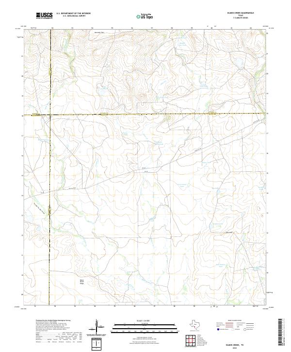 2022 Olmos Creek2022 Print · USGSCovers Maverick County, including Kinney County, Uvalde County, and other nearby areas
 - 2022 Map of Imperialist Tank, 2022 Print
 2022 Imperialist Tank2022 Print · USGSCovers Maverick County, including Kinney County, United States, and other nearby areas
 - 2022 Map of Indio Tank, 2022 Print
 2022 Indio Tank2022 Print · USGSCovers Maverick County, including United States, Texas, and other nearby areas
 - 2022 Map of Chacon Creek SW, 2022 Print
 2022 Chacon Creek SW2022 Print · USGSCovers Maverick County, including United States, Texas, and other nearby areas
 - 2022 Map of Quemado East, 2022 Print
 2022 Quemado East2022 Print · USGSCovers Maverick County, including Normandy, Quemado, and other nearby areas
 - 2022 Map of Cayetano Creek, 2022 Print
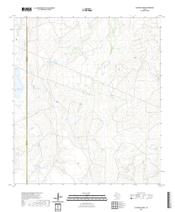 2022 Cayetano Creek2022 Print · USGSCovers Maverick County, including Dimmit County, United States, and other nearby areas
 - 2022 Map of Quemado West, 2022 Print
 2022 Quemado West2022 Print · USGSCovers Maverick County, including El Moral, Tepeyac, and other nearby areas
 - 2022 Map of Quemado SE, 2022 Print
 2022 Quemado SE2022 Print · USGSCovers Maverick County, including La Navaja, San Isidro, and other nearby areas
 - 2022 Map of Indian Tank, 2022 Print
 2022 Indian Tank2022 Print · USGSCovers Maverick County, including United States, Texas, and other nearby areas
 - 2022 Map of Eagle Pass SW, 2022 Print
 2022 Eagle Pass SW2022 Print · USGSCovers Maverick County, including Rosita, Riverside Acres Colonia, and other nearby areas
 - 2022 Map of Salt Well, 2022 Print
 2022 Salt Well2022 Print · USGSCovers Maverick County, including Webb County, Guerrero, and other nearby areas
 - 2022 Map of Trosado Tank, 2022 Print
 2022 Trosado Tank2022 Print · USGSCovers Maverick County, including United States, Texas, and other nearby areas
 - 2022 Map of Eagle Pass East, 2022 Print
 2022 Eagle Pass East2022 Print · USGSCovers Maverick County, including Eagle Pass, Chula Vista, and other nearby areas
 - 2022 Map of Eagle Pass West, 2022 Print
 2022 Eagle Pass West2022 Print · USGSCovers Maverick County, including Piedras Negras, Eagle Pass, and other nearby areas
 - 2022 Map of West of Salt Well, 2022 Print
 2022 West of Salt Well2022 Print · USGSCovers Maverick County, including Guerrero, United States, and other nearby areas
 - 2022 Map of Chacon Creek SE, 2022 Print
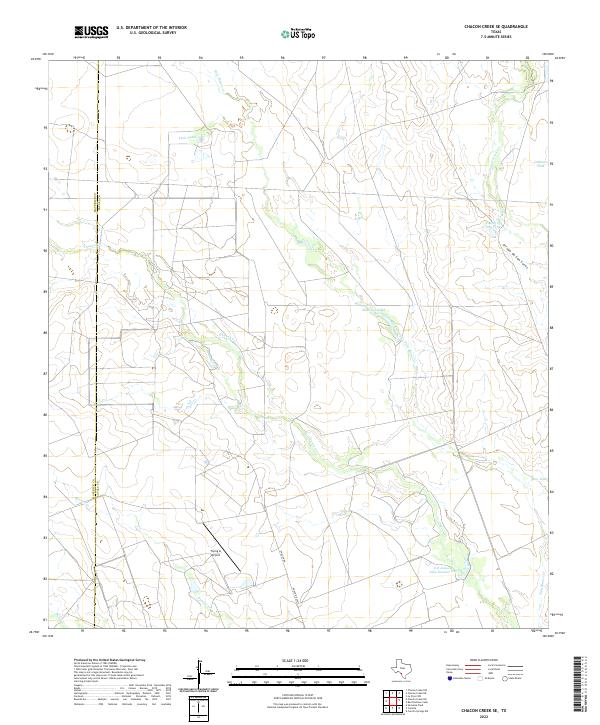 2022 Chacon Creek SE2022 Print · USGSCovers Maverick County, including Zavala County, United States, and other nearby areas
 - 2022 Map of Tovar Creek West, 2022 Print
 2022 Tovar Creek West2022 Print · USGSCovers Maverick County, including Guerrero, United States, and other nearby areas
 - 2022 Map of Palo Blanco Tank, 2022 Print
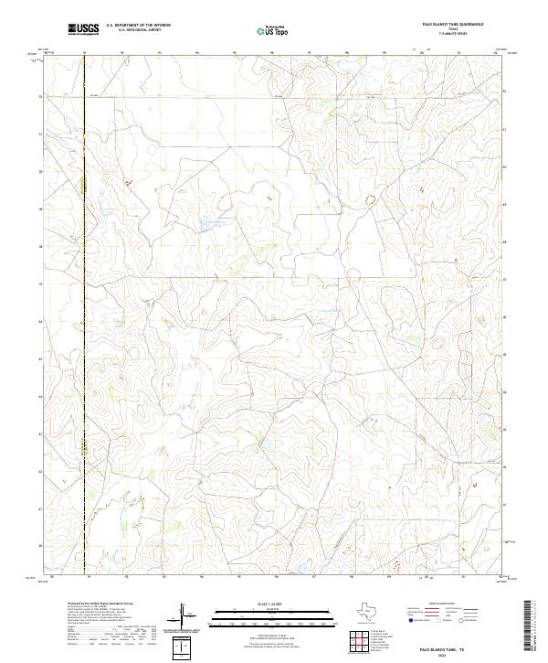 2022 Palo Blanco Tank2022 Print · USGSCovers Maverick County, including Dimmit County, United States, and other nearby areas
 - 2022 Map of Paloma, 2022 Print
 2022 Paloma2022 Print · USGSCovers Maverick County, including Paloma, Darling, and other nearby areas
 - 2022 Map of Eagle Pass NE, 2022 Print
 2022 Eagle Pass NE2022 Print · USGSCovers Maverick County, including United States, Texas, and other nearby areas
 - 2022 Map of Chacon Creek NW, 2022 Print
 2022 Chacon Creek NW2022 Print · USGSCovers Maverick County, including United States, Texas, and other nearby areas
Showing maps 1-25 of 35
Top cities of Maverick County
- Eagle Pass historical maps
- Chula Vista historical maps
- Rosita historical maps
- Las Quintas Fronterizas historical maps
- El Indio historical maps
Frequently asked questions
- What are the different types of historical maps available for Maverick County?
- What is the oldest map of Maverick County?
- Where can I purchase historical maps of Maverick County for my home or office?
- Where can I download high-res historical maps of Maverick County?
- Are there historical topographic maps available for Maverick County?
- Is there historical aerial imagery available for Maverick County?
- Where are historical maps of Maverick County sourced from?