Old Maps of Brady, Texas for Academic Research
Study the evolution of Brady with 27 high-resolution historic maps. Whether you're teaching, researching, or modeling changes in land use, these maps provide essential visual documentation of urban, environmental, and geographic change.
- Analyze long-term change: Track patterns in development, transportation, and natural features.
- Ideal for environmental or urban studies: Support academic projects with primary historical map data.
- Use in the classroom or lab: Educators and researchers rely on these maps to bring historical context to life.
These maps are a powerful tool for teaching, research, and visualizing how Brady has changed over the decades.
Brady, TX maps
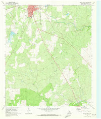
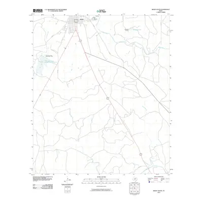
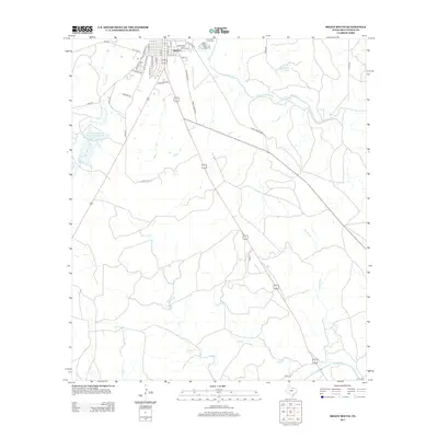
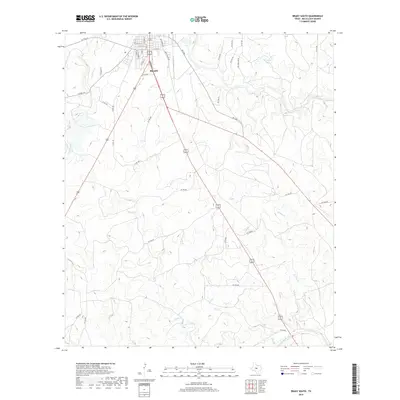
(27)- 1894 Map of Brady
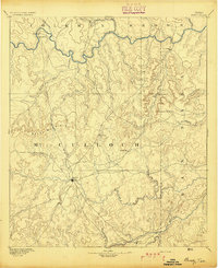 1894 Brady1894 Print · USGSCentral Texas ranching country comes to life in the late nineteenth century as regional hubs begin to take shape. Genealogists and researchers can trace early settlements and river crossings like Waldrip, Milburn, and the hilltop landmark of Lookout Mountain.5 unique versions available
 - 1954 Map of Brownwood, 1955 Print
 1954 Brownwood1955 Print · USGSCentral Texas in the early fifties shows a landscape of rail-linked cattle towns and winding river valleys before modern highway expansion. Genealogists and historians can trace family-named peaks and vanished rail stops like Trickham, Santa Anna, and the Brady Mountains.3 unique versions available
 - 1960 Map of West Sweden, 1961 Print
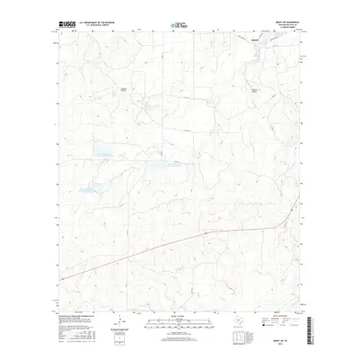
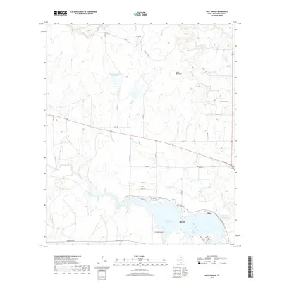
 1960 West Sweden1961 Print · USGSMcCulloch County in the early sixties shows a landscape of cattle ranching and rail commerce at the base of the Brady Mountains. Researchers can trace the Gulf Colorado and Santa Fe line through Niblock or locate the Carroll Colony Cem near the banks of Bowie Creek.2 unique versions available
 - 1960 Map of Brady North, 1961 Print
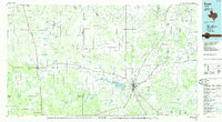
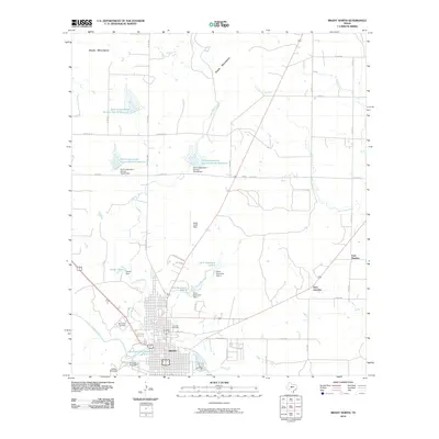
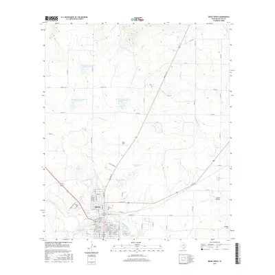
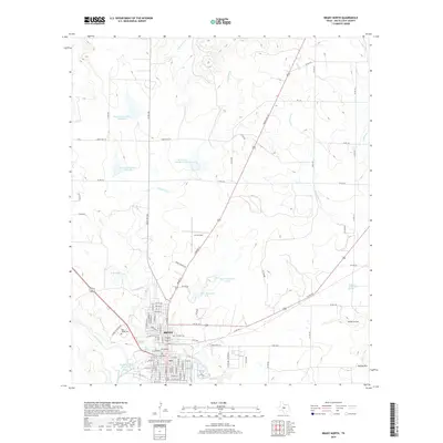
 1960 Brady North1961 Print · USGSBrady and the surrounding McCulloch County hills are captured here in the early sixties as a center of Texas ranching and rail. Genealogists can locate family landmarks like Rest Haven Cem, Live Oak Cem, and the community of East Sweden.3 unique versions available
 - 1963 Map of Brady SW, 1964 Print
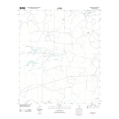
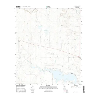
 1963 Brady SW1964 Print · USGSMcCulloch County was undergoing significant water management in the early sixties as new impoundments shaped the ranch land. Trace the early spillways and creek beds of Brady Reservoir, Reservoir No 5, and Post Oak Creek.2 unique versions available
 - 1970 Map of Brady South, 1973 Print
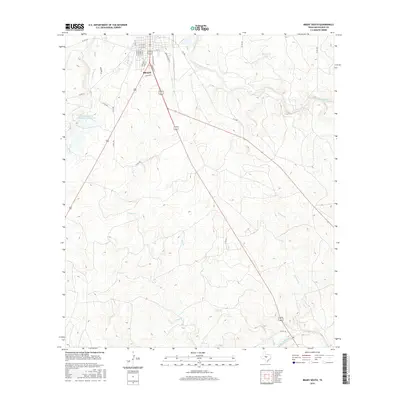
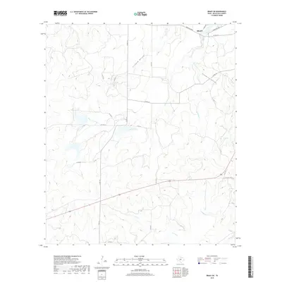
 1970 Brady South1973 Print · USGSMcCulloch County in the early seventies shows the southward expansion of Brady toward the San Saba River. Researchers can trace old rail lines like the Atchison Topeka and Santa Fe or locate the rural South China Sch.2 unique versions available
 - 1985 Map of Brady
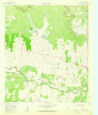
 1985 Brady1985 Print · USGSMcCulloch and Concho counties during the mid-1980s show a landscape of small ranching communities tied together by the Atchison Topeka and Santa Fe rail line. Researchers can trace rural developments like West Sweden, Pear Valley, and the waters of the Brady Reservoir.2 unique versions available
 - 2010 Map of West Sweden, 2010 Print
 2010 West Sweden2010 Print · USGSCovers Brady, including Niblock, West Sweden, and other nearby areas
 - 2010 Map of Brady SW, 2010 Print
 2010 Brady SW2010 Print · USGSCovers Brady, including McCulloch County, United States, and other nearby areas
 - 2010 Map of Brady South, 2010 Print
 2010 Brady South2010 Print · USGSCovers Brady, including McCulloch County, United States, and other nearby areas
 - 2010 Map of Brady North, 2010 Print
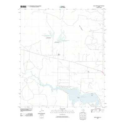
 2010 Brady North2010 Print · USGSCovers Brady, including Paul Junction, East Sweden, and other nearby areas
 - 2013 Map of Brady SW, 2013 Print
 2013 Brady SW2013 Print · USGSCovers Brady, including McCulloch County, United States, and other nearby areas
 - 2013 Map of West Sweden, 2013 Print
 2013 West Sweden2013 Print · USGSCovers Brady, including Niblock, West Sweden, and other nearby areas
 - 2013 Map of Brady South, 2013 Print
 2013 Brady South2013 Print · USGSCovers Brady, including McCulloch County, United States, and other nearby areas
 - 2013 Map of Brady North, 2013 Print
 2013 Brady North2013 Print · USGSCovers Brady, including Paul Junction, East Sweden, and other nearby areas
 - 2016 Map of Brady North, 2016 Print
 2016 Brady North2016 Print · USGSCovers Brady, including Paul Junction, East Sweden, and other nearby areas
 - 2016 Map of Brady SW, 2016 Print
 2016 Brady SW2016 Print · USGSCovers Brady, including McCulloch County, United States, and other nearby areas
 - 2016 Map of Brady South, 2016 Print
 2016 Brady South2016 Print · USGSCovers Brady, including McCulloch County, United States, and other nearby areas
 - 2016 Map of West Sweden, 2016 Print
 2016 West Sweden2016 Print · USGSCovers Brady, including Niblock, West Sweden, and other nearby areas
 - 2019 Map of Brady North, 2019 Print
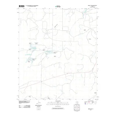
 2019 Brady North2019 Print · USGSCovers Brady, including Paul Junction, East Sweden, and other nearby areas
 - 2019 Map of West Sweden, 2019 Print
 2019 West Sweden2019 Print · USGSCovers Brady, including Niblock, West Sweden, and other nearby areas
 - 2019 Map of Brady SW, 2019 Print
 2019 Brady SW2019 Print · USGSCovers Brady, including McCulloch County, United States, and other nearby areas
 - 2019 Map of Brady South, 2019 Print
 2019 Brady South2019 Print · USGSCovers Brady, including McCulloch County, United States, and other nearby areas
 - 2022 Map of Brady North, 2022 Print
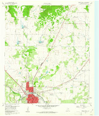
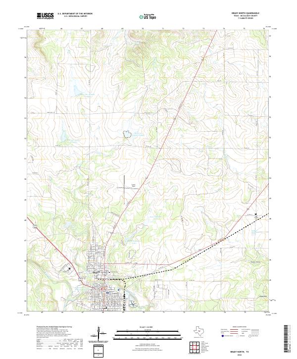 2022 Brady North2022 Print · USGSThe heart of McCulloch County comes into focus in this recent survey of the Texas Hill Country. Genealogists and local researchers can trace the streets of Brady, locate the McCulloch County Courthouse, and find rural landmarks like Curtis Field and East Sweden Cem.
 - 2022 Map of Brady SW, 2022 Print
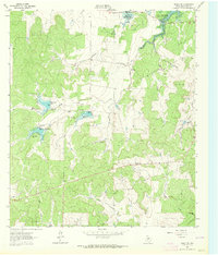
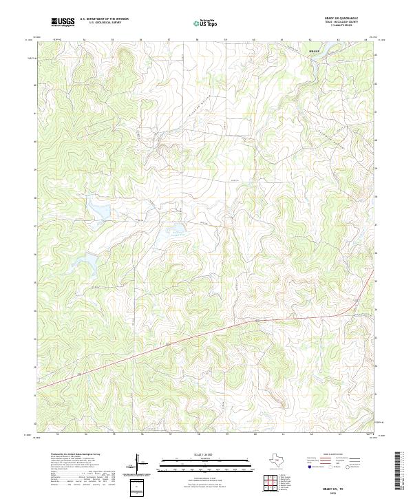 2022 Brady SW2022 Print · USGSThe outskirts of Brady and the rural McCulloch County landscape are captured here in the early 2020s. Trace the seasonal waterways of Bear Cr and Crooked Hollow or locate Reservoir Number Four among the network of local ranch roads.
Showing maps 1-25 of 27
Top cities near Brady
Top neighborhoods of Brady
Frequently asked questions
- What are the different types of historical maps available for Brady?
- What is the oldest map of Brady?
- Where can I purchase historical maps of Brady for my home or office?
- Where can I download high-res historical maps of Brady?
- Are there historical topographic maps available for Brady?
- Is there historical aerial imagery available for Brady?
- Where are historical maps of Brady sourced from?