Old Maps of Fort McKavett, Texas for Genealogy
Trace your family roots with 11 historic maps of Fort McKavett. These high-res maps reveal old neighborhoods, homesites, landmarks, and streets — helping you uncover where your ancestors lived and how the area evolved over time.
- Explore historic neighborhoods: Identify where your relatives may have lived in the 1800s or 1900s.
- Compare maps over time: Trace the changes in streets, buildings, and landmarks for multi-generational research.
- Perfect for genealogy & ancestry research: Used by family historians and researchers to map out lineage and migration.
These maps are an incredible resource for exploring your personal connection to Fort McKavett's past.
Fort McKavett, TX maps
(11)- 1893 Map of Fort McKavett
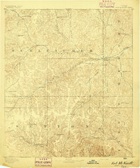 1893 Fort McKavett1893 Print · USGSCentral West Texas ranching life is frozen in time during the 1890s as the frontier era transitions to established livestock spreads. Trace family landholdings and early outposts like Fort McKavett, S.S.S. Ranch, and Henderson Brothers Ranch.4 unique versions available
 - 1954 Map of Sonora, 1965 Print
 1954 Sonora1965 Print · USGSThe Edwards Plateau and West Texas ranching country come alive in this mid-century survey of the canyons and plateaus. Genealogists and historians can trace the remote settlements of Pandale and Loma Alta or follow the path of the Panhandle and Santa Fe RR.2 unique versions available
 - 1958 Map of Sonora
 1958 Sonora1958 Print · USGSThe Edwards Plateau and Trans-Pecos region come alive in the late fifties, showing a landscape of remote ranchlands and historic frontier outposts. Trace the legacy of Fort Lancaster Ruins, the limestone depths of Devils Sinkhole Cavern, and the path of the Pecos River.
 - 1970 Map of Fort McKavett, 1973 Print
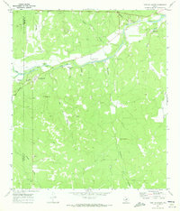 1970 Fort McKavett1973 Print · USGSThe headwaters of the San Saba River come into focus in the early 1970s, centering on the historic settlement of Fort McKavett. Researchers can trace old family sites like the Opp Cem or identify specific local landmarks such as Baptism Hole and Target Hill.2 unique versions available
 - 1985 Map of Sonora, 1986 Print
 1985 Sonora1986 Print · USGSThe Edwards Plateau in the mid-1980s reveals a landscape of ranching heritage and expanding energy production. Researchers can trace the Old Railroad Grade, locate the historic Fort McKavett, and explore the extent of the Steen Gas Field.
 - 1994 Map of Sonora
 1994 Sonora1994 Print · USGSThe West Texas ranching and energy country around Sonora and Eldorado comes to life in this mid-nineties survey. Researchers can trace the extensive Page Oil and Gas Field network, locate the Caverns of Sonora, and follow the headwaters of the North Llano River.
 - 2010 Map of Fort McKavett, 2010 Print
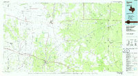
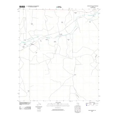 2010 Fort McKavett2010 Print · USGSCovers Fort McKavett, including Schleicher County, Menard County, and other nearby areas
 - 2012 Map of Fort McKavett, 2012 Print
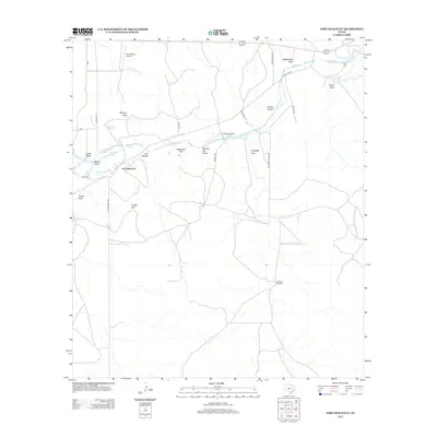 2012 Fort McKavett2012 Print · USGSCovers Fort McKavett, including Schleicher County, Menard County, and other nearby areas
 - 2016 Map of Fort McKavett, 2016 Print
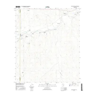 2016 Fort McKavett2016 Print · USGSCovers Fort McKavett, including Schleicher County, Menard County, and other nearby areas
 - 2019 Map of Fort McKavett, 2019 Print
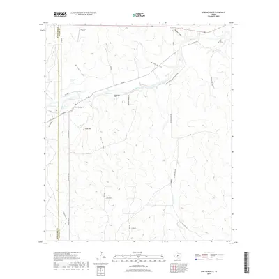 2019 Fort McKavett2019 Print · USGSCovers Fort McKavett, including Schleicher County, Menard County, and other nearby areas
 - 2022 Map of Fort McKavett, 2022 Print
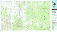
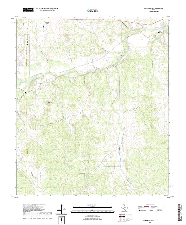 2022 Fort McKavett2022 Print · USGSThe Texas Hill Country and the headwaters of the San Saba River are captured here in the early twenty-first century. Researchers can trace local lineage at the Fort McKavett Cem or explore the geography of the historic outpost near Baptism Hole and Target Hill.
End of results
Showing maps 1-11 of 11
Frequently asked questions
- What are the different types of historical maps available for Fort McKavett?
- What is the oldest map of Fort McKavett?
- Where can I purchase historical maps of Fort McKavett for my home or office?
- Where can I download high-res historical maps of Fort McKavett?
- Are there historical topographic maps available for Fort McKavett?
- Is there historical aerial imagery available for Fort McKavett?
- Where are historical maps of Fort McKavett sourced from?