
1893 Map of Fort McKavett
USGS Topo · Published 1893About this map
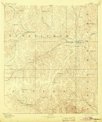
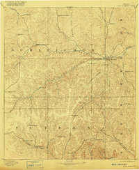
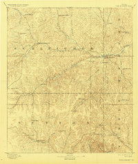
Fort McKavett serves as the focal point of this 1891 topographical study, situated at the headwaters of the San Saba River where the borders of Menard, Schleicher, and Kimble counties converge. The landscape is defined by a dense network of intermittent drainages, such as North Valley and Terrett Draw, which carve through the high plateaus of the Edwards Plateau. The settlement pattern revealed here is almost exclusively agrarian, dominated by sprawling family-run operations.
Find a feature on this map
44 named features on this map. Tap any name to fly to it.
Don’t see what you’re looking for? This feature index may not catch every label — zoom into the map to look around manually.
Map Details
Editions of this 1893 Fort McKavett Map
4 editions found
Other maps of this area

1892 · San Angelo
USGS Topo · 1:125,000

1892 · Eden
USGS Topo · 1:125,000

1893 · Rock Springs
USGS Topo · 1:125,000

1895 · Sherwood
USGS Topo · 1:125,000

1896 · Eden
USGS Topo · 1:125,000

1932 · Junction
USGS Topo · 1:62,500

1954 · Brownwood
USGS Topo · 1:250,000

1954 · Llano
USGS Topo · 1:250,000

1954 · Sonora
USGS Topo · 1:250,000

1954 · San Angelo
USGS Topo · 1:250,000