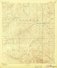
1893 Map of Fort McKavett
USGS Topo · Published 1904About this map
Fort Mc Kavett anchors this 1891 survey, situated at the headwaters of the San Saba River where the Edwards Plateau transitions into a network of dry draws and seasonal creek beds. The landscape is defined by the early ranching economy of West Texas, documented here before the widespread establishment of formal towns. Family names dominate the geography, from the Henderson Brothers Ranch in the north to the Adams Ranch near the southern border.
Find a feature on this map
48 named features on this map. Tap any name to fly to it.
Don’t see what you’re looking for? This feature index may not catch every label — zoom into the map to look around manually.
Map Details
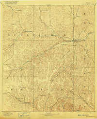
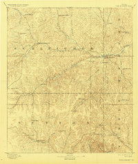
Editions of this 1893 Fort McKavett Map
4 editions found
Other maps of this area

1892 · San Angelo
USGS Topo · 1:125,000

1892 · Eden
USGS Topo · 1:125,000

1893 · Rock Springs
USGS Topo · 1:125,000

1893 · Fort McKavett
USGS Topo · 1:125,000

1895 · Sherwood
USGS Topo · 1:125,000

1896 · Eden
USGS Topo · 1:125,000

1932 · Junction
USGS Topo · 1:62,500

1954 · Brownwood
USGS Topo · 1:250,000

1954 · Llano
USGS Topo · 1:250,000

1954 · Sonora
USGS Topo · 1:250,000