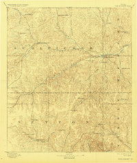
1893 Map of Fort McKavett
USGS Topo · Published 1928About this map
The Fort Mc Kavett settlement anchors this 1891 survey, situated at the confluence of the San Saba River and Middle Valley. This region of West Texas, spanning the borders of Schleicher, Sutton, and Kimble counties, is defined by a landscape of intricate draws and hollows that once supported a vast network of family-held livestock operations. The map meticulously records these early land holdings, including the Henderson Brothers Ranch, Berry Brothers Ranch, and the S.S.S. Ranch.
Find a feature on this map
45 named features on this map. Tap any name to fly to it.
Don’t see what you’re looking for? This feature index may not catch every label — zoom into the map to look around manually.
Map Details
Editions of this 1893 Fort McKavett Map
4 editions found
Other maps of this area

1892 · San Angelo
USGS Topo · 1:125,000

1892 · Eden
USGS Topo · 1:125,000

1893 · Rock Springs
USGS Topo · 1:125,000

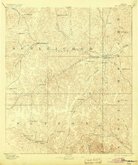
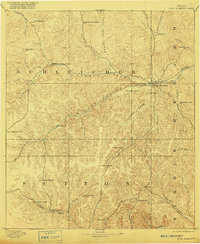
1893 · Fort McKavett
USGS Topo · 1:125,000

1895 · Sherwood
USGS Topo · 1:125,000

1896 · Eden
USGS Topo · 1:125,000

1932 · Junction
USGS Topo · 1:62,500

1954 · Brownwood
USGS Topo · 1:250,000

1954 · Llano
USGS Topo · 1:250,000

1954 · Sonora
USGS Topo · 1:250,000