2020s Maps of Navarro County, Texas
Explore 31 historic maps of Navarro County from the 2020s. These maps offer a rare glimpse into what life looked like during the 2020s — showing old roads, neighborhoods, homes, and landmarks that have changed or disappeared over time.
Whether you're researching your family's past, planning a metal detecting trip, or studying how Navarro County's landscape evolved across the 2020s, these high-resolution maps are a powerful tool for exploring the history of this region.
- Focus on a specific era: All maps on this page are from the 2020s, giving you a focused view of this time period.
- See what’s changed: Compare century-old streets, trails, and buildings to today's modern landscape using overlays and satellite layers.
- Research with precision: Use these maps for genealogy, historical research, land use analysis, or educational projects.
- View, download, or print: Maps are fully viewable online in high resolution, and can be downloaded or printed for your own records.
Start exploring Navarro County's history through authentic maps from the 2020s. This is your window into the past.
Navarro County, TX maps
(31)- 2022 Map of Blooming Grove, 2022 Print
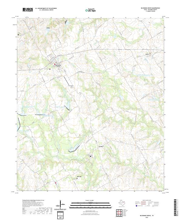 2022 Blooming Grove2022 Print · USGSNavarro County's agricultural roots remain visible in the early twenty-first century, anchored by the town centers of Blooming Grove and Barry. Local historians can trace family lineages at Rose Hill Cem, Dresden Cem, or the White Church Cem.
 - 2022 Map of Rosser SW, 2022 Print
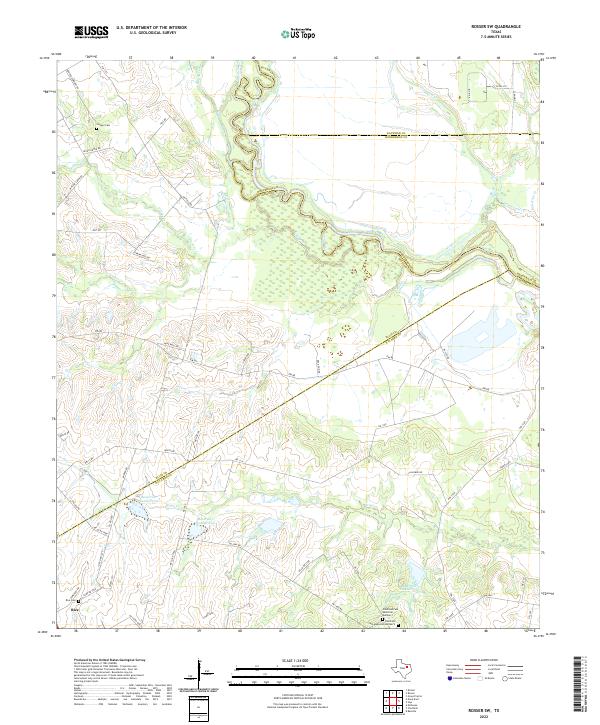 2022 Rosser SW2022 Print · USGSNavarro County and the surrounding river bottomlands are captured here in the early 2020s, showing a landscape defined by the winding Trinity River. Genealogists can locate family landmarks like Rice Cem and Chatfield Cem Memorial Number 2 among the rolling prairie and creek beds.
 - 2022 Map of Corbet, 2022 Print
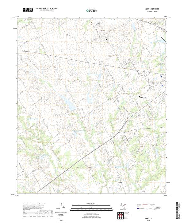 2022 Corbet2022 Print · USGSCorsicana and its Navarro County surroundings appear in the early 2020s as a landscape of agricultural reservoirs and historic family cemeteries. Researchers can locate Cunningham Cem, trace the waters of Briar Creek, and explore the rural settlements of Drane and Corbet.
 - 2022 Map of Corsicana, 2022 Print
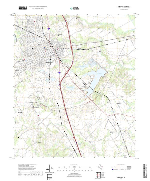 2022 Corsicana2022 Print · USGSCorsicana and its surrounding Navarro County ranch lands are shown here in the early twenty-first century as the city expands toward the south. Researchers can trace family sites from Oakwood Cem to Retreat and the Hamilton Beeman Cem.
 - 2022 Map of Ennis East, 2022 Print
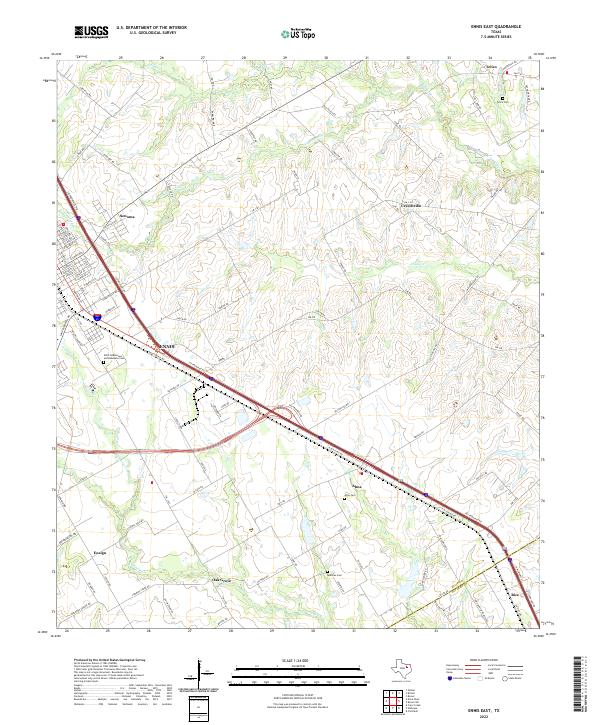 2022 Ennis East2022 Print · USGSThe Blackland Prairie landscape of Ellis County is captured here in the early twenty-first century as modern transit corridors follow historical paths. Genealogists and local researchers can trace family landmarks like Telico Cem, Alma Cem, and the rural community of Ensign.
 - 2022 Map of Cryer Creek, 2022 Print
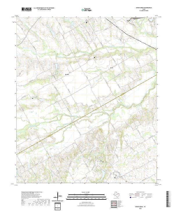 2022 Cryer Creek2022 Print · USGSNavarro and Ellis counties are captured here in the early twenty-first century, showing a landscape defined by old creek-bottom settlements and rural cemeteries. Genealogists can locate family burial sites at Grange Hall Cem, Austonia Cem, and Grady Cem near the banks of Chambers Creek.
 - 2022 Map of Frost, 2022 Print
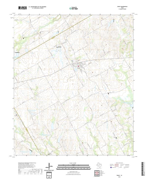 2022 Frost2022 Print · USGSThe rural landscape of Navarro County is captured here in the early twenty-first century, centered on the historic town of Frost. Genealogists can trace family heritage across a high density of rural burial sites, from Hooser Cemetery to Pevehouse Cemetery and Richland Cemetery.
 - 2022 Map of Chatfield, 2022 Print
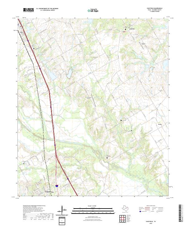 2022 Chatfield2022 Print · USGSNavarro County's rural landscape comes into focus in this contemporary record of the blackland prairie east of the Interstate. Genealogists and historians can trace family locations through numerous sites like Old Chatfield Cem, Hamilton-Bragg Cem, and Roane.
 - 2022 Map of Emhouse, 2022 Print
 2022 Emhouse2022 Print · USGSThe prairie landscapes of Navarro County are mapped here in the early 2020s, showing the agricultural community of Emhouse and its surrounding farm-to-market roads. Researchers can locate the Pattison Cem and trace the meandering paths of Chambers Creek and Waxahachie Slough.
 - 2022 Map of Creslenn Ranch, 2022 Print
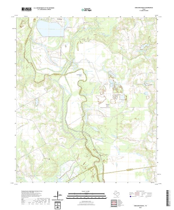 2022 Creslenn Ranch2022 Print · USGSThe river bottomlands near the Henderson and Navarro county lines are captured here in the early 2020s as the Trinity River winds through its ancient floodplains. Researchers can locate the Princeton Cem and trace the complex waterways of Cottonwood Bend and Trinidad Lake.
 - 2022 Map of Avalon, 2022 Print
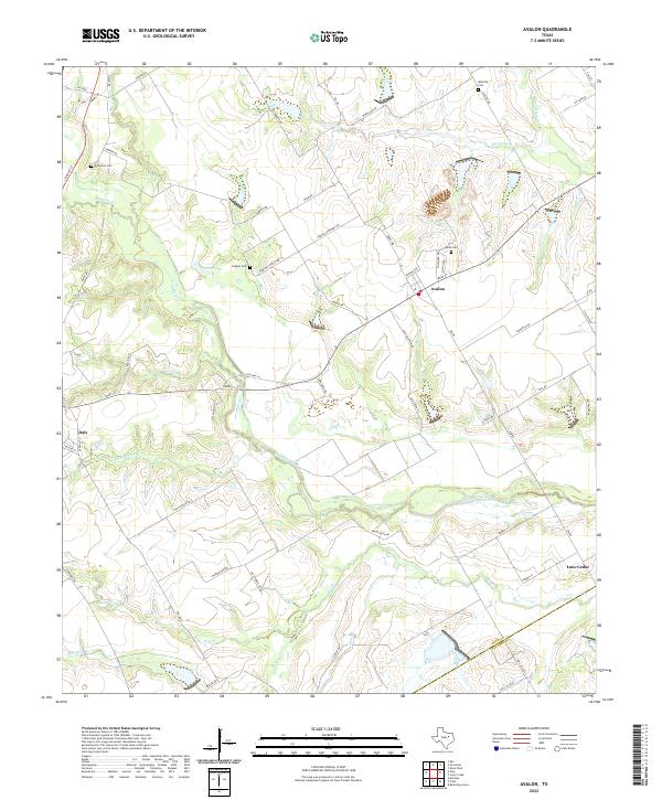 2022 Avalon2022 Print · USGSAgricultural lands and family cemeteries characterize this corner of Ellis and Navarro counties in the 2020s. Genealogists can trace local roots at Dean Cem, Forreston Cem, and Hughes Cem near the settlement of Avalon.
 - 2022 Map of Styx, 2022 Print
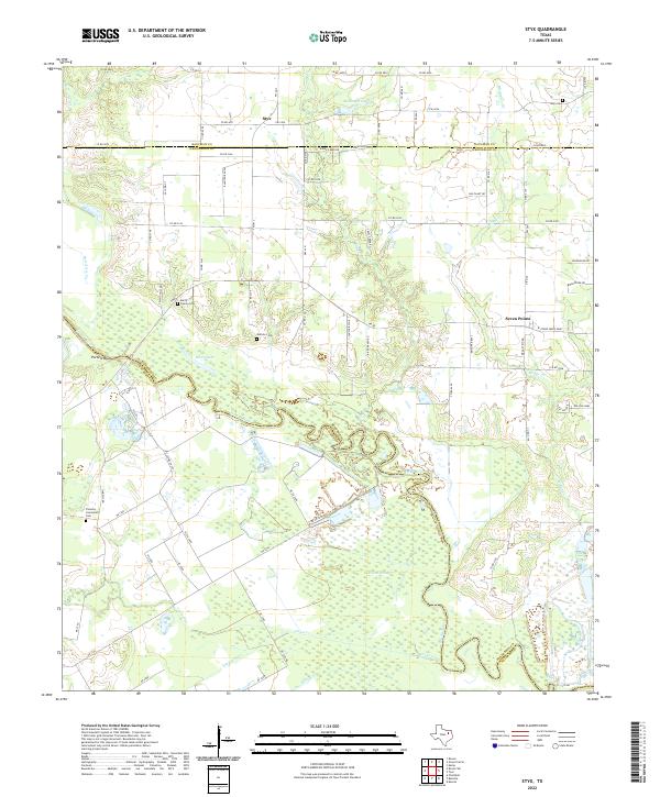 2022 Styx2022 Print · USGSThe Trinity River valley in Henderson and Navarro counties is captured here in recent years, showing a landscape of bottomland and rural crossroads. Researchers can trace family history at the Ware Cem and Guthrie Cem or locate the historic landing at Porters Bluff.
 - 2022 Map of Bazette, 2022 Print
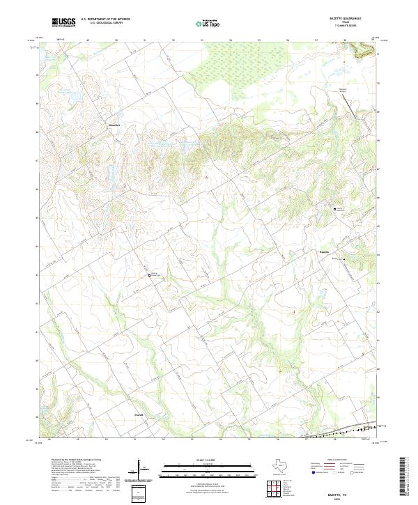 2022 Bazette2022 Print · USGSNavarro County's rural landscape is captured here in the early twenty-first century, showing a region shaped by the Trinity River and local agriculture. Researchers can locate several burial grounds and crossroads including Wesleys Chapel Cem, Bazette, and Montfort.
 - 2022 Map of Goodlow Park, 2022 Print
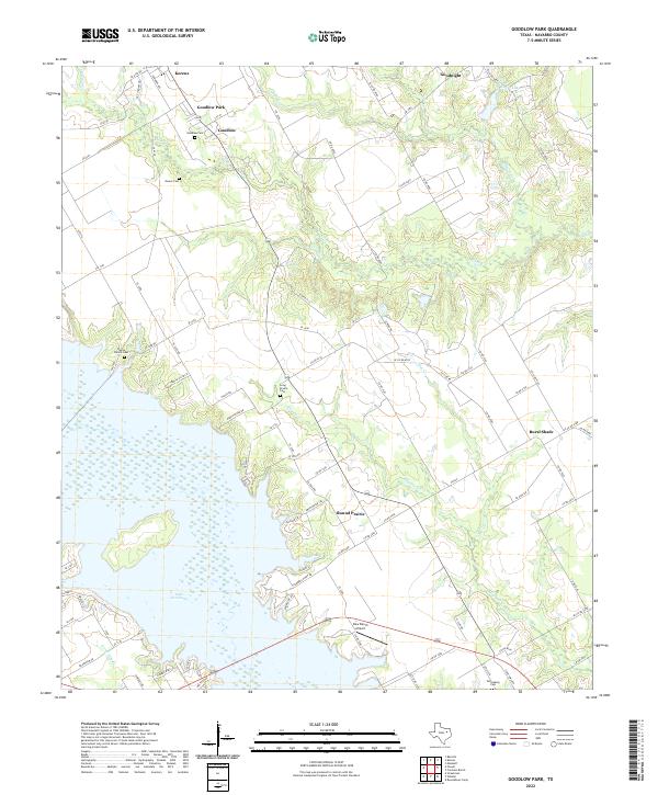 2022 Goodlow Park2022 Print · USGSNavarro County's lakeside and rural landscapes are captured here in the early twenty-first century. Researchers can trace family history at Goodlow Cem and Petersburg Cem or locate settlements like Rural Shade and Round Prairie.
 - 2022 Map of Tool, 2022 Print
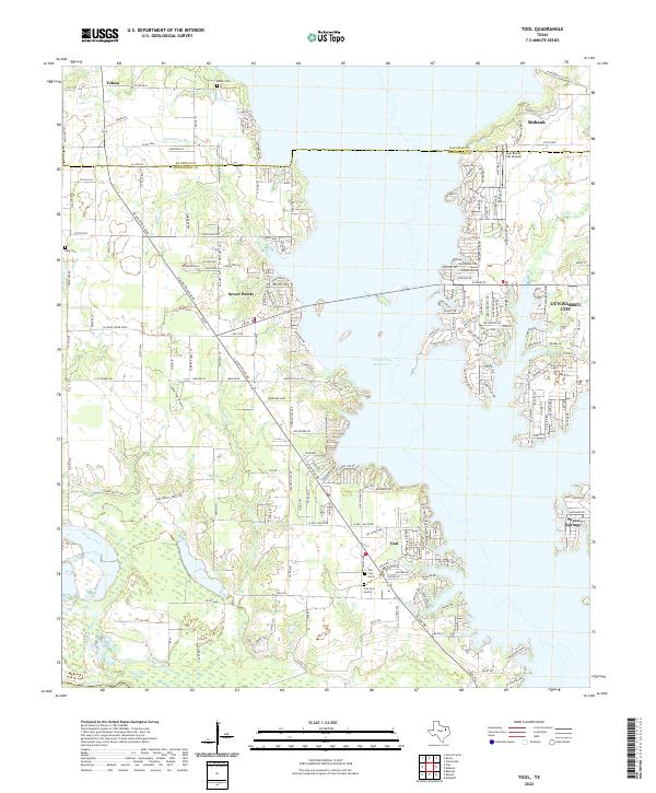 2022 Tool2022 Print · USGSLakeside living and rural Henderson County traditions meet in the early twenty-first century along the expansive Cedar Creek Reservoir. Researchers can trace local lineage at Baker Cem and Tool Cem North or explore the developed shorelines of Gun Barrel City and Seven Points.
 - 2022 Map of Mertens, 2022 Print
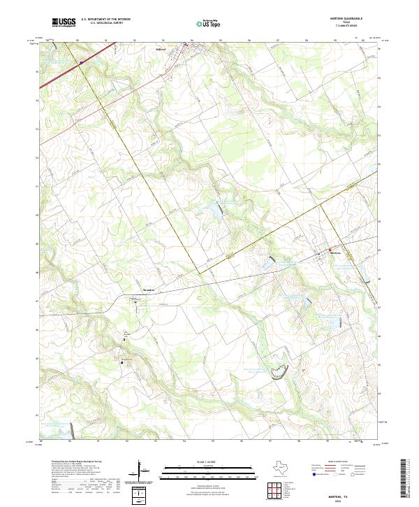 2022 Mertens2022 Print · USGSThe intersection of Hill, Ellis, and Navarro counties comes to life in the early 2020s, revealing a landscape of managed waterways and small agricultural hubs. Researchers can locate the Old Brandon Cem and trace the paths of Richland Cr and Cottonwood Cr through the countryside.
 - 2022 Map of Powell, 2022 Print
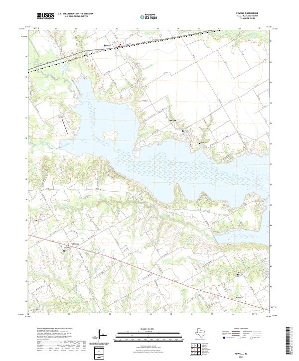 2022 Powell2022 Print · USGSNavarro County life centers on the expansive shoreline of Lake Corsicana in this recent survey of the Texas plains. Genealogists and local historians can trace family locations near Powell, Mildred, and Eureka, or locate rural burial grounds like Eureka Cem and Woods Cem.
 - 2022 Map of Kerens, 2022 Print
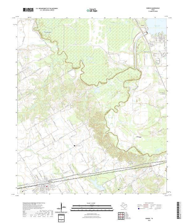 2022 Kerens2022 Print · USGSThe Navarro and Henderson County borderlands come to life in this contemporary study of the Trinity River valley. Genealogists and local historians can trace family plots at Oak Grove Cem and Samaria Cem or explore the waterfront of Tool.
 - 2022 Map of Malakoff, 2022 Print
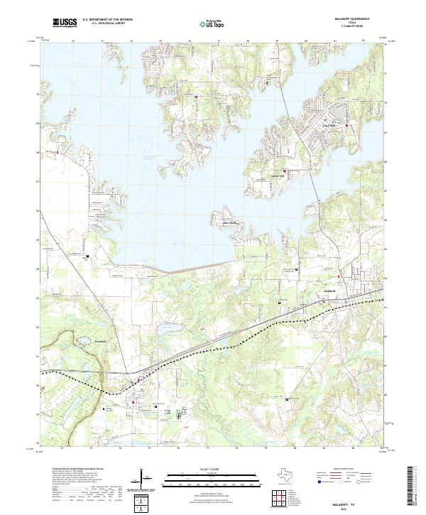 2022 Malakoff2022 Print · USGSHenderson County's lakefront and river bottomlands are captured here during the 2020s, showing the intersection of recreation and industry. Researchers can locate family sites at Antioch Cem, trace the shoreline of Cedar Creek Reservoir, or explore the rail-and-river hub of Trinidad.
 - 2022 Map of Purdon, 2022 Print
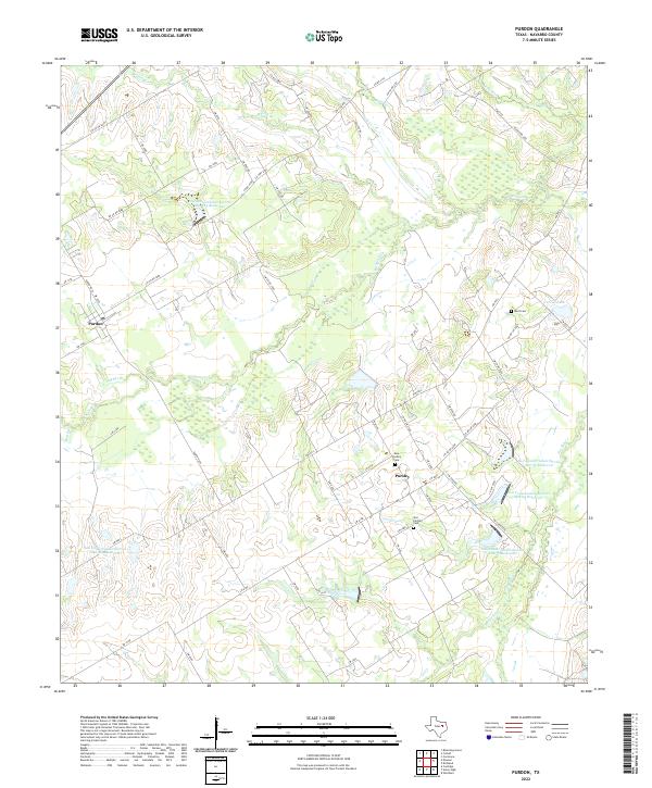 2022 Purdon2022 Print · USGSSouthwestern Navarro County remains a landscape of quiet rural crossroads and agricultural history. Genealogists can trace family heritage through Ward Cem, Old Pursley Cem, and the small settlements of Purdon and Pursley.
 - 2022 Map of Hubbard, 2022 Print
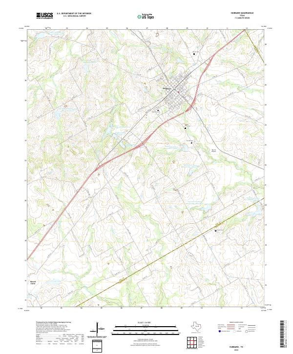 2022 Hubbard2022 Print · USGSSettled along the intersection of Hill, Navarro, and Limestone counties, this area reflects a classic Texas agrarian landscape. Researchers can locate several family and community burial grounds like Fairview Cem and McLain Cem, while tracing the reaches of the Navasota River.
 - 2022 Map of Union High, 2022 Print
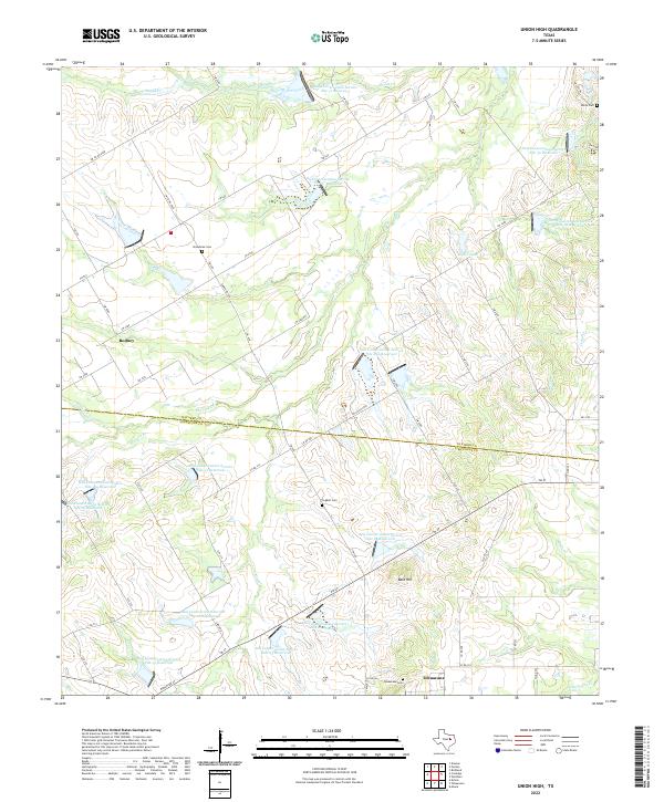 2022 Union High2022 Print · USGSNavarro and Limestone counties are shown here in the early twenty-first century, featuring a landscape shaped by water conservation and rural tradition. Genealogists and local historians can locate Rodney, Tehuacana Cem, and Broadtree Cem among a vast network of soil conservation reservoirs.
 - 2022 Map of Richland, 2022 Print
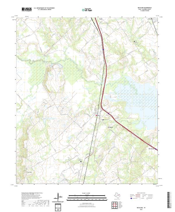 2022 Richland2022 Print · USGSNavarro County's rural ranch lands and creek bottoms are documented here as modern infrastructure intersects with old crossroads. Researchers can trace the legacy of early settlements through Richland Cem, Carroll Chapel Cem, and the high ground of Pisgah Ridge.
 - 2022 Map of Wortham, 2022 Print
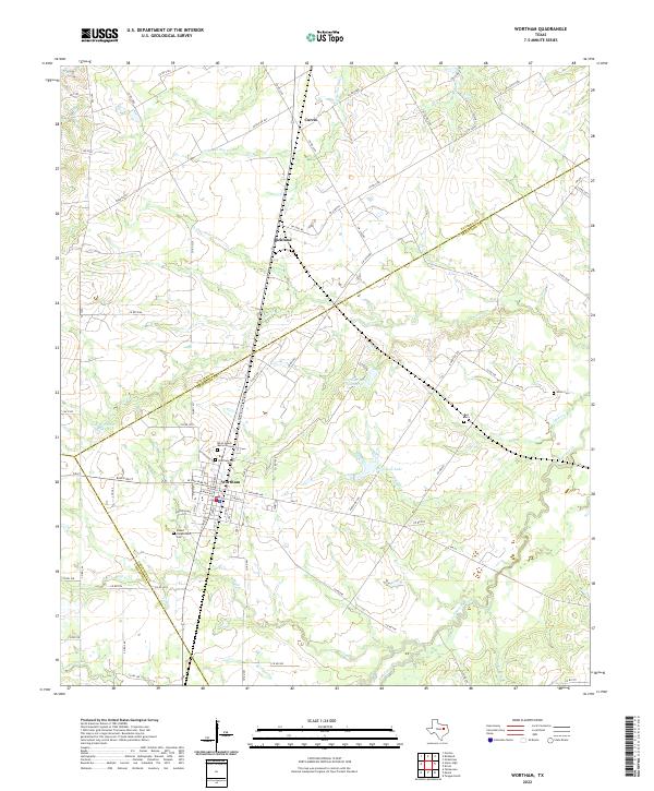 2022 Wortham2022 Print · USGSWortham and the surrounding ranch lands at the intersection of three counties are detailed in this modern survey. Genealogists can locate family sites like the Blind Lemon Memorial Cem and Miller Cem near the banks of Cedar Cr.
 - 2022 Map of Coolidge, 2022 Print
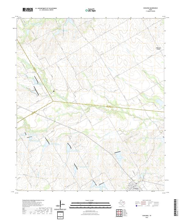 2022 Coolidge2022 Print · USGSCoolidge and the tri-county border area of Limestone, Hill, and Navarro are documented here in the early 2020s. Genealogists and local historians can trace family locations near Dover Cem, Eldorado Center, and the shores of Lake Dawson.
Showing maps 1-25 of 31
Top cities of Navarro County
- Corsicana historical maps
- Kerens historical maps
- Rice historical maps
- Blooming Grove historical maps
- Dawson historical maps
- Frost historical maps
See more
Frequently asked questions
- What are the different types of historical maps available for Navarro County?
- What is the oldest map of Navarro County?
- Where can I purchase historical maps of Navarro County for my home or office?
- Where can I download high-res historical maps of Navarro County?
- Are there historical topographic maps available for Navarro County?
- Is there historical aerial imagery available for Navarro County?
- Where are historical maps of Navarro County sourced from?