2000s (21st Century) Maps of Navarro County, Texas
Explore 155 historic maps of Navarro County from the 2000s (21st Century). These maps offer a rare glimpse into what life looked like during the 2000s — showing old roads, neighborhoods, homes, and landmarks that have changed or disappeared over time.
Whether you're researching your family's past, planning a metal detecting trip, or studying how Navarro County's landscape evolved across the 2000s, these high-resolution maps are a powerful tool for exploring the history of this region.
- Focus on a specific era: All maps on this page are from the 2000s, giving you a focused view of this time period.
- See what’s changed: Compare century-old streets, trails, and buildings to today's modern landscape using overlays and satellite layers.
- Research with precision: Use these maps for genealogy, historical research, land use analysis, or educational projects.
- View, download, or print: Maps are fully viewable online in high resolution, and can be downloaded or printed for your own records.
Start exploring Navarro County's history through authentic maps from the 2000s. This is your window into the past.
Navarro County, TX maps
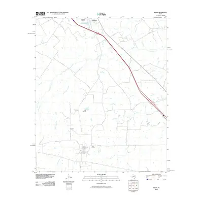
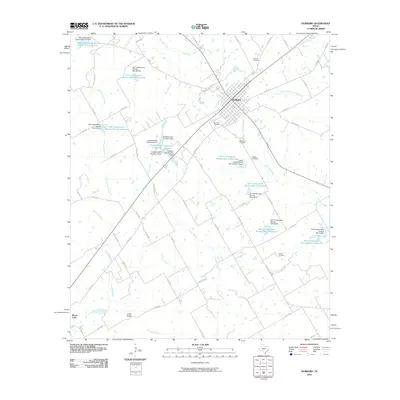
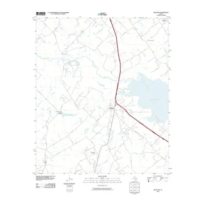
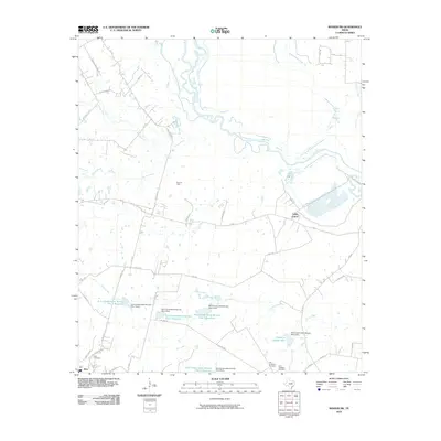
(155)- 2010 Map of Bazette, 2010 Print
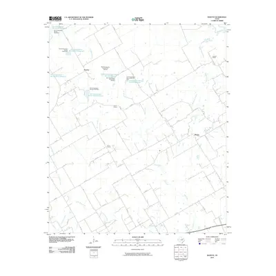 2010 Bazette2010 Print · USGSCovers Navarro County, including Kerens, Powell, and other nearby areas
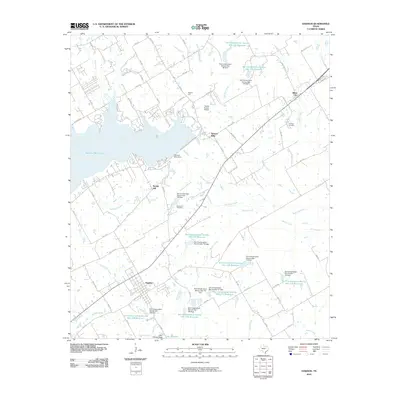
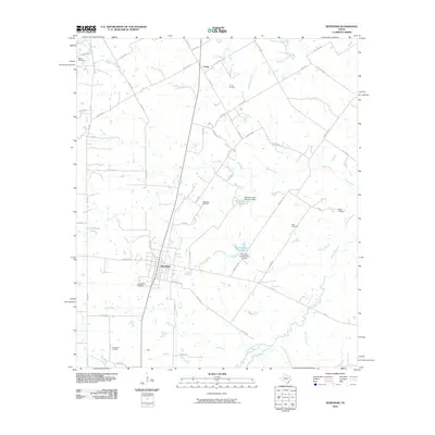
 - 2010 Map of Avalon, 2010 Print
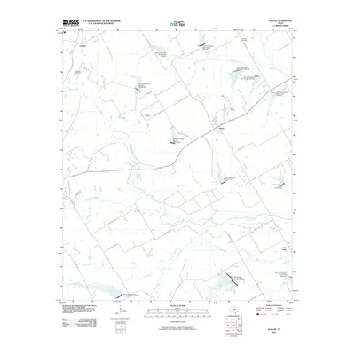 2010 Avalon2010 Print · USGSCovers Navarro County, including Italy, Lumkins, and other nearby areas
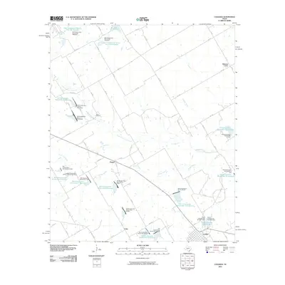
 - 2010 Map of Emhouse, 2010 Print
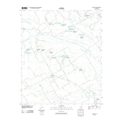 2010 Emhouse2010 Print · USGSCovers Navarro County, including Corsicana, Rice, and other nearby areas
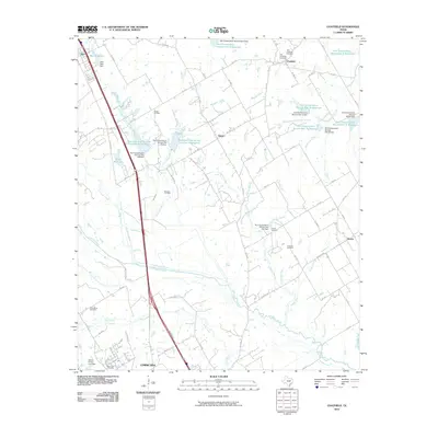
 - 2010 Map of Kirvin, 2010 Print
 2010 Kirvin2010 Print · USGSCovers Navarro County, including Streetman, Kirvin, and other nearby areas
 - 2010 Map of Hubbard, 2010 Print
 2010 Hubbard2010 Print · USGSCovers Navarro County, including Hubbard, Mount Calm, and other nearby areas
 - 2010 Map of Dawson, 2010 Print
 2010 Dawson2010 Print · USGSCovers Navarro County, including Dawson, Navarro Mills, and other nearby areas
 - 2010 Map of Coolidge, 2010 Print
 2010 Coolidge2010 Print · USGSCovers Navarro County, including Coolidge, Calina, and other nearby areas
 - 2010 Map of Chatfield, 2010 Print
 2010 Chatfield2010 Print · USGSCovers Navarro County, including Corsicana, Rice, and other nearby areas
 - 2010 Map of Cryer Creek, 2010 Print
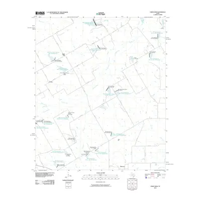
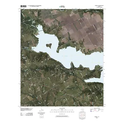
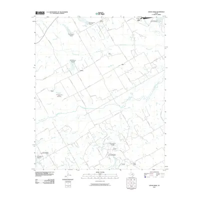 2010 Cryer Creek2010 Print · USGSCovers Navarro County, including Rankin, Cryer Creek, and other nearby areas
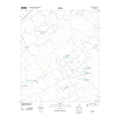
 - 2010 Map of Irene, 2010 Print
 2010 Irene2010 Print · USGSCovers Navarro County, including Pelham, Brushie Prairie, and other nearby areas
 - 2010 Map of Styx, 2010 Print
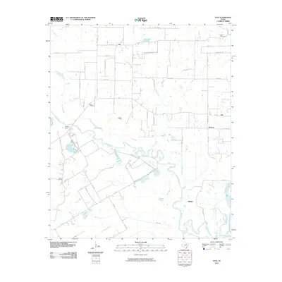 2010 Styx2010 Print · USGSCovers Navarro County, including Seven Points, Aley, and other nearby areas
 - 2010 Map of Purdon, 2010 Print
 2010 Purdon2010 Print · USGSCovers Navarro County, including Purdon, Pursley, and other nearby areas
 - 2010 Map of Richland, 2010 Print
 2010 Richland2010 Print · USGSCovers Navarro County, including Angus, Richland, and other nearby areas
 - 2010 Map of Wortham, 2010 Print
 2010 Wortham2010 Print · USGSCovers Navarro County, including Wortham, Richland, and other nearby areas
 - 2010 Map of Union High, 2010 Print
 2010 Union High2010 Print · USGSCovers Navarro County, including Tehuacana, Rodney, and other nearby areas
 - 2010 Map of Streetman, 2010 Print
 2010 Streetman2010 Print · USGSCovers Navarro County, including Eureka, Streetman, and other nearby areas
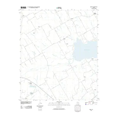
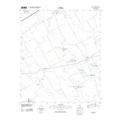
 - 2010 Map of Mertens, 2010 Print
 2010 Mertens2010 Print · USGSCovers Navarro County, including Milford, Mertens, and other nearby areas
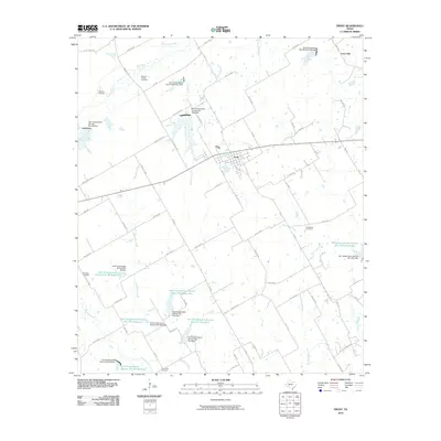
 - 2010 Map of Frost, 2010 Print
 2010 Frost2010 Print · USGSCovers Navarro County, including Frost, Lone Oak, and other nearby areas
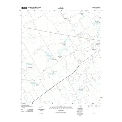
 - 2010 Map of Corbet, 2010 Print
 2010 Corbet2010 Print · USGSCovers Navarro County, including Corsicana, Oak Valley, and other nearby areas
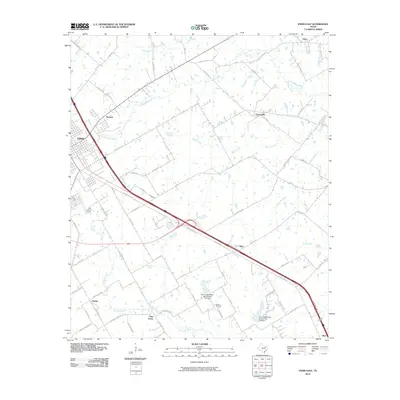
 - 2010 Map of Ennis East, 2010 Print
 2010 Ennis East2010 Print · USGSCovers Navarro County, including Ennis, Rice, and other nearby areas
 - 2010 Map of Rosser SW, 2010 Print
 2010 Rosser SW2010 Print · USGSCovers Navarro County, including Rice, Valley Farms, and other nearby areas
 - 2010 Map of Powell, 2010 Print
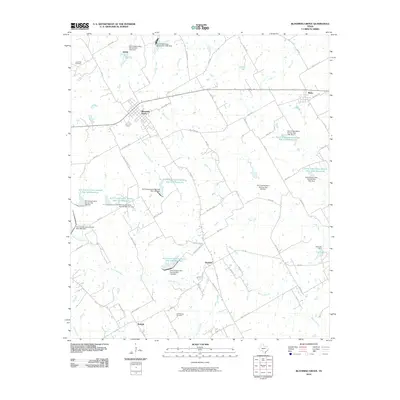
 2010 Powell2010 Print · USGSCovers Navarro County, including Mildred, Eureka, and other nearby areas
 - 2010 Map of Blooming Grove, 2010 Print
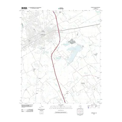
 2010 Blooming Grove2010 Print · USGSCovers Navarro County, including Blooming Grove, Barry, and other nearby areas
 - 2010 Map of Corsicana, 2010 Print
 2010 Corsicana2010 Print · USGSCovers Navarro County, including Corsicana, Oak Valley, and other nearby areas
 - 2010 Map of Roustabout Camp, 2010 Print
 2010 Roustabout Camp2010 Print · USGSCovers Navarro County, including Anderson County, Freestone County, and other nearby areas
Showing maps 1-25 of 155
Top cities of Navarro County
- Corsicana historical maps
- Kerens historical maps
- Rice historical maps
- Blooming Grove historical maps
- Dawson historical maps
- Frost historical maps
See more
Frequently asked questions
- What are the different types of historical maps available for Navarro County?
- What is the oldest map of Navarro County?
- Where can I purchase historical maps of Navarro County for my home or office?
- Where can I download high-res historical maps of Navarro County?
- Are there historical topographic maps available for Navarro County?
- Is there historical aerial imagery available for Navarro County?
- Where are historical maps of Navarro County sourced from?