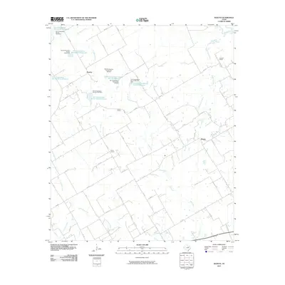
2010 Map of Bazette
USGS Topo · Published 2010About this map
Bazette and Montfort anchor this corner of Navarro County, illustrating a landscape defined by small-scale ranching and intensive water management. The area is crisscrossed by a dense network of country roads such as FM 638 and Ne 2035, linking scattered homesteads and private landing strips like Smith Airport and Hancock Airport. Genealogists will find the Phillips Cemetery preserved amongst the farmsteads, while the natural drainage of Rush Creek and Westbrook Creek feeds towards the Trinity River in the northeast corner.
Find a feature on this map
63 named features on this map. Tap any name to fly to it.
Don’t see what you’re looking for? This feature index may not catch every label — zoom into the map to look around manually.
Map Details
Editions of this 2010 Bazette Map
This is the sole edition of this map. No revisions or reprints were ever made.
Other maps of this area

1920 · Kemp
USGS Topo · 1:62,500

1954 · Dallas
USGS Topo · 1:250,000

1957 · Kemp
USGS Topo · 1:62,500

1958 · Dallas
USGS Topo · 1:250,000

1959 · Powell
USGS Topo · 1:24,000

1960 · Tool
USGS Topo · 1:24,000

1960 · Goodlow Park
USGS Topo · 1:24,000

1961 · Kerens
USGS Topo · 1:24,000

1961 · Chatfield
USGS Topo · 1:24,000

1962 · Bazette
USGS Topo · 1:24,000