
1961 Map of Kerens
USGS Topo · Published 1962About this map
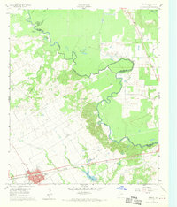
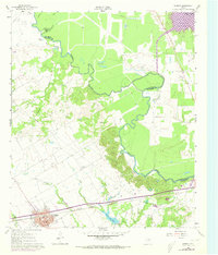
Kerens serves as the primary hub of this East Texas landscape, positioned at the intersection of a developing road network and the St Louis Southwestern railroad. The town is flanked by essential community landmarks including the Kerens Cem and the Kerens City Lake, while the rural surroundings are defined by the winding course of the Trinity River. The river's path creates a complex series of oxbows and water bodies such as Horseshoe Bend, Round Lake, and Singletary Lake, marking the shifting boundary between Navarro and Henderson counties.
Find a feature on this map
23 named features on this map. Tap any name to fly to it.
Don’t see what you’re looking for? This feature index may not catch every label — zoom into the map to look around manually.
Map Details
Editions of this 1961 Kerens Map
Other maps of this area

1920 · Kemp
USGS Topo · 1:62,500

1954 · Dallas
USGS Topo · 1:250,000

1957 · Kemp
USGS Topo · 1:62,500

1958 · Dallas
USGS Topo · 1:250,000

1959 · Powell
USGS Topo · 1:24,000

1960 · Tool
USGS Topo · 1:24,000

1960 · Mabank
USGS Topo · 1:24,000

1960 · Creslenn Ranch
USGS Topo · 1:24,000

1960 · Goodlow Park
USGS Topo · 1:24,000

1960 · Malakoff
USGS Topo · 1:24,000