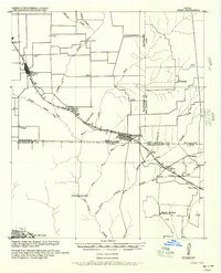
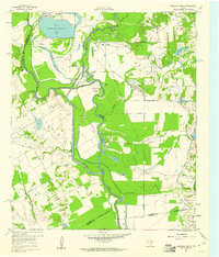
1961 Map of Kerens
USGS Topo · Published 1973About this map
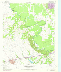
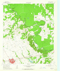
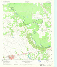
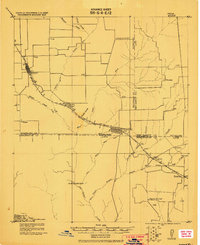
The St Louis Southwestern railroad corridor defines the southern landscape of this Navarro County region, anchoring the town of Kerens. This 1961 survey, updated with 1972 revisions, illustrates a period of significant hydrological and industrial transition. To the northeast, the development of the Cedar Creek Reservoir begins to dominate the lowlands near the Henderson County line, while the meandering Trinity River continues its traditional course through numerous oxbows like Horseshoe Bend and Singletary Lake.
Find a feature on this map
25 named features on this map. Tap any name to fly to it.
Don’t see what you’re looking for? This feature index may not catch every label — zoom into the map to look around manually.
Map Details
Editions of this 1961 Kerens Map
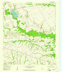
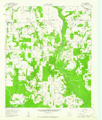
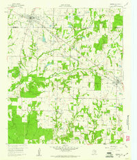
Other maps of this area
1920 · Kemp
USGS Topo · 1:62,500

1954 · Dallas
USGS Topo · 1:250,000
1957 · Kemp
USGS Topo · 1:62,500

1958 · Dallas
USGS Topo · 1:250,000
1959 · Powell
USGS Topo · 1:24,000
1960 · Tool
USGS Topo · 1:24,000
1960 · Mabank
USGS Topo · 1:24,000
1960 · Creslenn Ranch
USGS Topo · 1:24,000
1960 · Goodlow Park
USGS Topo · 1:24,000
1960 · Malakoff
USGS Topo · 1:24,000