
1960 Map of Creslenn Ranch
USGS Topo · Published 1961About this map
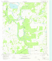
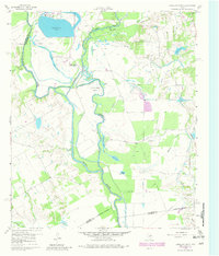
The Trinity River snakes through the heart of this East Texas landscape, forming a complex boundary between Henderson, Navarro, Freestone, and Anderson counties. In 1960, the industrial and agricultural character of the region is clearly defined by the massive Texas Power and Light Co Lake near Trinidad, which serves as a major utility landmark. The river’s ancient path is marked by oxbows and secondary water bodies like Gatlimo Lake, Morrison Lake, and Stephens Lake, showing a river system in a state of constant hydrological change before modern channelization.
Find a feature on this map
33 named features on this map. Tap any name to fly to it.
Don’t see what you’re looking for? This feature index may not catch every label — zoom into the map to look around manually.
Map Details
Editions of this 1960 Creslenn Ranch Map
Other maps of this area

1949 · Athens
USGS Topo · 1:62,500

1949 · Tennessee Colony
USGS Topo · 1:62,500

1950 · Athens
USGS Topo · 1:62,500

1950 · Tennessee Colony
USGS Topo · 1:62,500

1953 · Palestine
USGS Topo · 1:250,000

1954 · Dallas
USGS Topo · 1:250,000

1954 · Waco
USGS Topo · 1:250,000

1955 · Waco
USGS Topo · 1:250,000

1956 · Tyler
USGS Topo · 1:250,000

1957 · Palestine
USGS Topo · 1:250,000