
1960 Map of Mabank
USGS Topo · Published 1961About this map
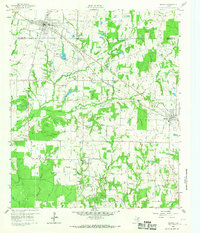
Mabank sits at the intersection of Henderson, Kaufman, and Van Zandt counties, serving as a regional hub for the surrounding agricultural landscape of the 1960s. The town's infrastructure is detailed through its Athletic Field, Pumping Sta, and Filtration Plant near the Mabank City Lake. To the southeast, the small community of Eustace marks a significant waypoint along the Texas and New Orleans railroad line, which cuts diagonally across the terrain alongside the Southern Pacific tracks.
Find a feature on this map
26 named features on this map. Tap any name to fly to it.
Don’t see what you’re looking for? This feature index may not catch every label — zoom into the map to look around manually.
Map Details
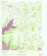
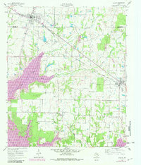
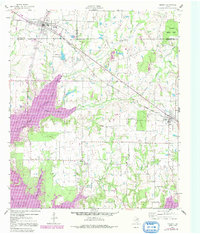
Editions of this 1960 Mabank Map
5 editions found
Other maps of this area

1920 · Kemp
USGS Topo · 1:62,500

1948 · Martins Mill
USGS Topo · 1:62,500

1949 · Martins Mill
USGS Topo · 1:62,500

1949 · Athens
USGS Topo · 1:62,500

1950 · Athens
USGS Topo · 1:62,500

1954 · Dallas
USGS Topo · 1:250,000

1956 · Tyler
USGS Topo · 1:250,000

1957 · Kemp
USGS Topo · 1:62,500

1958 · Dallas
USGS Topo · 1:250,000

1960 · Tool
USGS Topo · 1:24,000