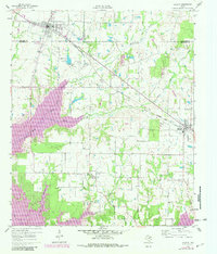
1960 Map of Mabank
USGS Topo · Published 1982About this map
Cedar Creek Reservoir dominates the western landscape of this Texas survey, showing significant development along its many-fingered shoreline at Enchanted Oaks. The map details a transition in the local economy and land use during the early 1960s, as traditional rail-side communities like Mabank and Eustace were joined by new water-oriented recreation. The Southern Pacific line cuts diagonally across the terrain, passing through Pauline and serving the older agricultural hubs. For genealogists, the sheet preserves the locations of several important family and community landmarks, including Mason Ranch Cem, Goshen Cem, and the Elam Grove Ch. The presence of the Mabank City Lake and its filtration plant near the Kaufman county line illustrates the growing infrastructure required to support these expanding Henderson and Van Zandt county settlements.
Find a feature on this map
30 named features on this map. Tap any name to fly to it.
Don’t see what you’re looking for? This feature index may not catch every label — zoom into the map to look around manually.
Map Details
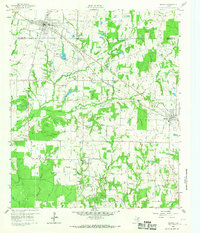
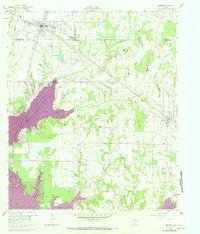
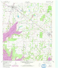
Editions of this 1960 Mabank Map
5 editions found

Other maps of this area

1920 · Kemp
USGS Topo · 1:62,500

1948 · Martins Mill
USGS Topo · 1:62,500

1949 · Martins Mill
USGS Topo · 1:62,500

1949 · Athens
USGS Topo · 1:62,500

1950 · Athens
USGS Topo · 1:62,500

1954 · Dallas
USGS Topo · 1:250,000

1956 · Tyler
USGS Topo · 1:250,000

1957 · Kemp
USGS Topo · 1:62,500

1958 · Dallas
USGS Topo · 1:250,000

1960 · Tool
USGS Topo · 1:24,000