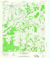
1960 Map of Mabank
USGS Topo · Published 1967About this map
The town of Mabank serves as a central hub in the early 1960s where the boundaries of Kaufman, Henderson, and Van Zandt counties converge. This period of the Cedar Creek area's development is defined by the intersection of the Texas and New Orleans and Southern Pacific railroads, which facilitated the movement of goods through small rural communities like Pauline and Eustace. The landscape is a network of small creeks including North Twin Creek and Purtis Creek, supporting a scattered settlement pattern of family ranches and local institutions.
Find a feature on this map
30 named features on this map. Tap any name to fly to it.
Don’t see what you’re looking for? This feature index may not catch every label — zoom into the map to look around manually.
Map Details
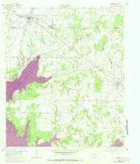
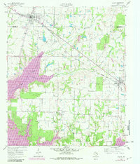
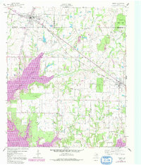
Editions of this 1960 Mabank Map
5 editions found

Other maps of this area

1920 · Kemp
USGS Topo · 1:62,500

1948 · Martins Mill
USGS Topo · 1:62,500

1949 · Martins Mill
USGS Topo · 1:62,500

1949 · Athens
USGS Topo · 1:62,500

1950 · Athens
USGS Topo · 1:62,500

1954 · Dallas
USGS Topo · 1:250,000

1956 · Tyler
USGS Topo · 1:250,000

1957 · Kemp
USGS Topo · 1:62,500

1958 · Dallas
USGS Topo · 1:250,000

1960 · Tool
USGS Topo · 1:24,000