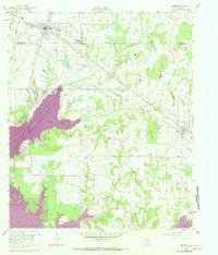
1960 Map of Mabank
USGS Topo · Published 1973About this map
The growing town of Mabank sits at the junction of several key roads and the Southern Pacific railroad line during a period of significant hydrologic change in the region. This 1960 survey, updated in the early 1970s, documents the expansion of the Cedar Creek Reservoir as it fills the low-lying areas south and west of the community. Before the reservoir reached its full extent, the landscape was defined by natural drainages like Prairie Creek and Little Brushy Creek. Local history is preserved through the locations of the Mabank Cem, Goshen Cem, and Mason Ranch Cem, alongside community landmarks like Elam Grove Ch and the smaller Mabank City Lake. The map illustrates the shift from a strictly agricultural and rail-dependent economy toward one increasingly influenced by large-scale water management projects.
Find a feature on this map
34 named features on this map. Tap any name to fly to it.
Don’t see what you’re looking for? This feature index may not catch every label — zoom into the map to look around manually.
Map Details
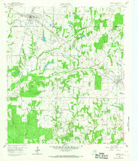
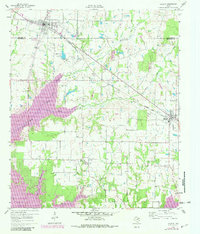
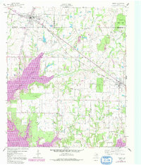
Editions of this 1960 Mabank Map
5 editions found

Other maps of this area

1920 · Kemp
USGS Topo · 1:62,500

1948 · Martins Mill
USGS Topo · 1:62,500

1949 · Martins Mill
USGS Topo · 1:62,500

1949 · Athens
USGS Topo · 1:62,500

1950 · Athens
USGS Topo · 1:62,500

1954 · Dallas
USGS Topo · 1:250,000

1956 · Tyler
USGS Topo · 1:250,000

1957 · Kemp
USGS Topo · 1:62,500

1958 · Dallas
USGS Topo · 1:250,000

1960 · Tool
USGS Topo · 1:24,000