
1960 Map of Goodlow Park
USGS Topo · Published 1961About this map
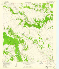
Chambers Creek defines the southwestern drainage of this 1960 landscape, where the local petroleum economy is evident through several Oil Wells and associated Sludge Pits. The map documents a predominantly rural and agricultural layout in Navarro County, characterized by small communities like Rural Shade and Round Prairie. Transportation and infrastructure are represented by a network of local roads connecting these points with the town of Kerens and the residential area of Goodlow Park. For those researching family history, the map provides precise locations for the Petersburg Cem and Alligator Cem, along with the Alligator Ch. Numerous waterways, including Rush Creek, Indian Creek, and Alligator Creek, wind through the terrain, illustrating the natural water system before modern land alterations became more widespread in the region.
Find a feature on this map
20 named features on this map. Tap any name to fly to it.
Don’t see what you’re looking for? This feature index may not catch every label — zoom into the map to look around manually.
Map Details
Editions of this 1960 Goodlow Park Map
3 editions found
Other maps of this area

1954 · Dallas
USGS Topo · 1:250,000

1954 · Waco
USGS Topo · 1:250,000

1955 · Waco
USGS Topo · 1:250,000

1958 · Dallas
USGS Topo · 1:250,000

1959 · Powell
USGS Topo · 1:24,000

1960 · Winkler
USGS Topo · 1:24,000

1960 · Streetman
USGS Topo · 1:24,000

1960 · Creslenn Ranch
USGS Topo · 1:24,000

1960 · Malakoff
USGS Topo · 1:24,000

1960 · Roustabout Camp
USGS Topo · 1:24,000