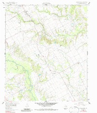
1960 Map of Goodlow Park
USGS Topo · Published 1987About this map
Chambers Creek meanders through this portion of Navarro County, defining a landscape shaped by agricultural drainage and the early industrial footprint of the oil business. In the western reaches of the map, numerous Oil Wells and associated infrastructure like Sludge Pits dot the lowlands near the creek, signaling the extraction activity that historically fueled the local economy. Higher ground is occupied by established rural communities such as Round Prairie and Rural Shade, which sit along the road network connecting the larger settlement of Kerens to the surrounding countryside.
Find a feature on this map
19 named features on this map. Tap any name to fly to it.
Don’t see what you’re looking for? This feature index may not catch every label — zoom into the map to look around manually.
Map Details
Editions of this 1960 Goodlow Park Map
3 editions found
Other maps of this area

1954 · Dallas
USGS Topo · 1:250,000

1954 · Waco
USGS Topo · 1:250,000

1955 · Waco
USGS Topo · 1:250,000

1958 · Dallas
USGS Topo · 1:250,000

1959 · Powell
USGS Topo · 1:24,000

1960 · Winkler
USGS Topo · 1:24,000

1960 · Streetman
USGS Topo · 1:24,000

1960 · Creslenn Ranch
USGS Topo · 1:24,000

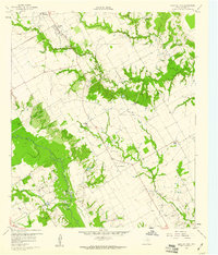
1960 · Goodlow Park
USGS Topo · 1:24,000

1960 · Malakoff
USGS Topo · 1:24,000