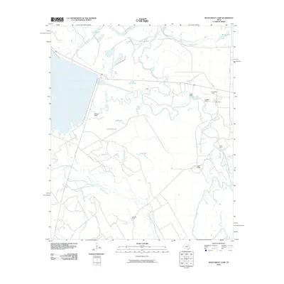
2010 Map of Roustabout Camp
USGS Topo · Published 2010About this map
Trinity River oxbows and sloughs dominate this 2010 survey of the borderlands between Anderson and Freestone Counties. The landscape is defined by the winding river and its complex hydrology, featuring numerous named water bodies like Pea Patch Lake, Snag Lake, and the winding Yonker Pin Slough. High ground is marked by several named bluffs, including Walker Bluff and Cox Bluff, which provide topographical relief against the low-lying river bottom.
Find a feature on this map
29 named features on this map. Tap any name to fly to it.
Don’t see what you’re looking for? This feature index may not catch every label — zoom into the map to look around manually.
Map Details
Editions of this 2010 Roustabout Camp Map
This is the sole edition of this map. No revisions or reprints were ever made.
Other maps of this area

1949 · Athens
USGS Topo · 1:62,500

1949 · Tennessee Colony
USGS Topo · 1:62,500

1950 · Athens
USGS Topo · 1:62,500

1950 · Tennessee Colony
USGS Topo · 1:62,500

1953 · Palestine
USGS Topo · 1:250,000

1954 · Dallas
USGS Topo · 1:250,000

1954 · Waco
USGS Topo · 1:250,000

1955 · Waco
USGS Topo · 1:250,000

1956 · Tyler
USGS Topo · 1:250,000

1957 · Palestine
USGS Topo · 1:250,000