Old Maps of Navarro, Texas
Explore 30 old maps of Navarro, spanning from 1954 to today. These high-resolution historic maps reveal how streets, neighborhoods, landmarks, and natural features evolved over time — perfect for genealogy, metal detecting, research, and local history exploration.
What you can do with these maps:
- See how Navarro changed over time: Compare historical maps to modern-day views to trace roads, homesites, rail lines & more.
- View detailed metadata: Each map includes creators, publishers, year, scale, and archive source.
- Overlay maps with satellite & LiDAR: Visualize the past alongside modern tools to explore terrain & human change.
- Trusted historical sources: Maps sourced from the USGS, Library of Congress, and other archives.
- Access maps your way: View online, download high-res files, or order prints for personal or research use.
Start exploring old maps of Navarro to uncover forgotten places, hidden landmarks, and the deep history beneath your feet.
Navarro, TX maps
(30)- 1954 Map of Dallas, 1963 Print
 1954 Dallas1963 Print · USGSNorth Texas in the mid-fifties and early sixties reveals a landscape of rapid urban growth and water management. Genealogists and historians can trace the evolution of the metroplex through landmarks like Hensley Field, Boles Orphan Home, and the Texas & Pacific RR.4 unique versions available
 - 1954 Map of Waco, 1964 Print
 1954 Waco1964 Print · USGSCentral Texas during the mid-fifties shows a landscape defined by the expansion of Fort Hood Military Reservation and the Brazos river system. Trace the rail lines and early airfields like James Connally Air Force Base and settlements like Temple or McGregor.2 unique versions available
 - 1955 Map of Waco
 1955 Waco1955 Print · USGSCentral Texas at the peak of the Cold War reveals a landscape defined by military expansion and major water projects. Researchers can trace the footprints of Fort Hood, the waters of Lake Waco, and regional hubs like Temple or Mexia.
 - 1958 Map of Dallas
 1958 Dallas1958 Print · USGSNorth Texas in the late fifties shows the dramatic expansion of the Metroplex as it absorbs surrounding farm towns. Genealogists and historians can trace old rail lines like the Missouri-Kansas-Texas and locate early lakefront developments at Eagle Mountain Lake and Lake Worth Village.
 - 1959 Map of Powell, 1961 Print
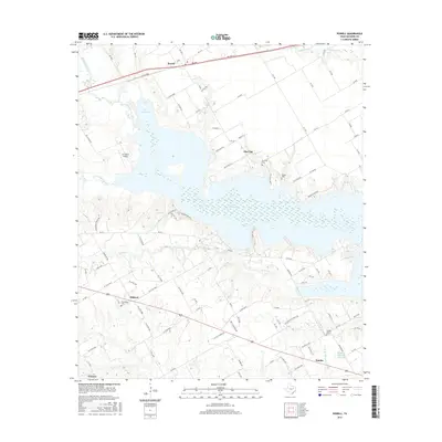
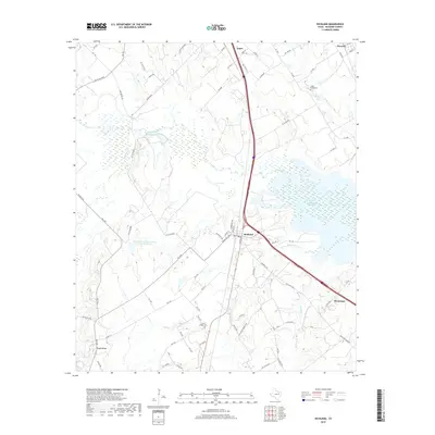
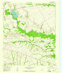 1959 Powell1961 Print · USGSNavarro County appears in the late fifties as a landscape of oil derricks and rural congregations during a period of steady industrial extraction. Genealogists and researchers can trace the locations of Providence Cem, Woods Chapel, and the Corsicana Oil Field.2 unique versions available
 - 1960 Map of Streetman, 1961 Print
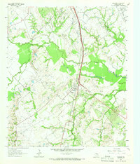
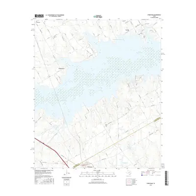
 1960 Streetman1961 Print · USGSThe Navarro and Freestone county line comes alive in the early sixties, showing a landscape of rail-connected farming communities. Genealogists can locate family landmarks like Birdston Cem, Johnson Cem, and rural churches such as Friendship Ch.4 unique versions available
 - 1963 Map of Richland, 1966 Print
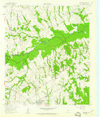
 1963 Richland1966 Print · USGSThe Richland area in the early sixties is a study in Texas rail and oil history, centered on the crossing of the Southern Pacific and Fort Worth & Denver lines. Genealogists and researchers can trace local roots at Carroll Chapel Cem, Richland Sch, and the Powell Oil Field.2 unique versions available
 - 1965 Map of Corsicana, 1967 Print
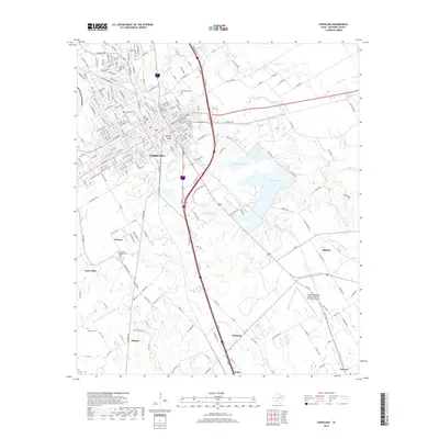
 1965 Corsicana1967 Print · USGSMid-century Navarro County is defined here by its expanding energy sector and the industrial footprint of the rail lines. Researchers can trace family history at Woodland Cemetery or locate old school sites like Crockett School and the Mildred-Navarro School Substation.3 unique versions available
 - 1985 Map of Mexia
 1985 Mexia1985 Print · USGSLimestone and Freestone counties are shown in the mid-eighties as centers of rail-linked commerce and growing reservoir systems. Researchers can trace the grounds of Mexia State School, the campus of Westminster College, and historic Fort Parker.2 unique versions available
 - 1985 Map of Corsicana, 1986 Print
 1985 Corsicana1986 Print · USGSNorth Central Texas was defined by its expanding water reservoirs and deep-rooted rail corridors in the mid-eighties. Researchers can trace the heritage of local communities through landmarks like Southwestern Bible Institute, Navarro College, and rural markers such as Derrs Chapel.2 unique versions available
 - 2010 Map of Richland, 2010 Print
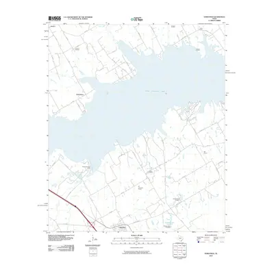
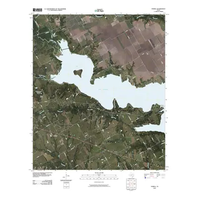
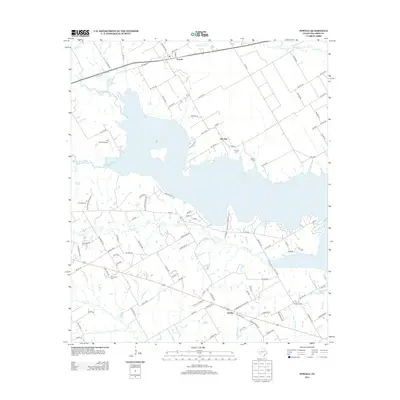
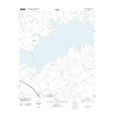
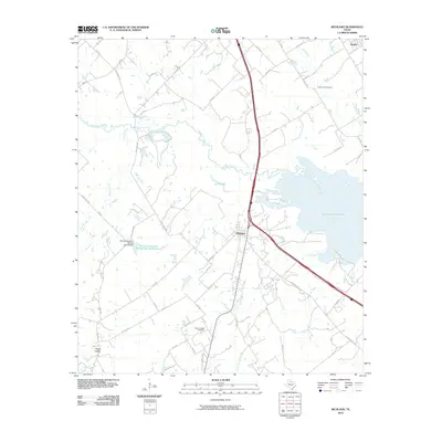 2010 Richland2010 Print · USGSCovers Navarro, including Angus, Richland, and other nearby areas
 - 2010 Map of Streetman, 2010 Print
 2010 Streetman2010 Print · USGSCovers Navarro, including Eureka, Streetman, and other nearby areas
 - 2010 Map of Powell, 2010 Print
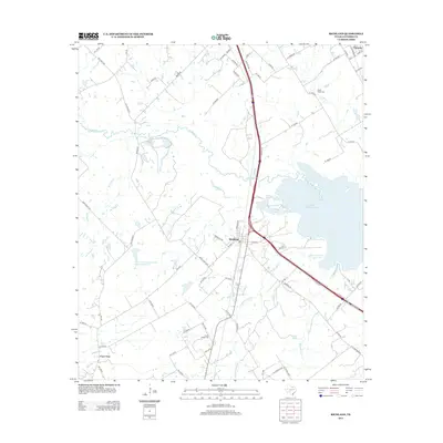
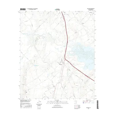
 2010 Powell2010 Print · USGSCovers Navarro, including Mildred, Eureka, and other nearby areas
 - 2010 Map of Corsicana, 2010 Print
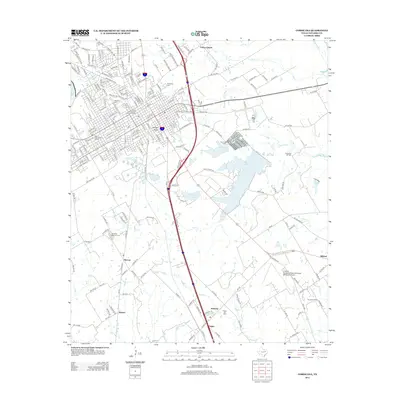
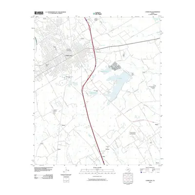 2010 Corsicana2010 Print · USGSCovers Navarro, including Corsicana, Oak Valley, and other nearby areas
 - 2012 Map of Corsicana, 2012 Print
 2012 Corsicana2012 Print · USGSCovers Navarro, including Corsicana, Oak Valley, and other nearby areas
 - 2012 Map of Powell, 2012 Print
 2012 Powell2012 Print · USGSCovers Navarro, including Mildred, Eureka, and other nearby areas
 - 2013 Map of Richland, 2013 Print
 2013 Richland2013 Print · USGSCovers Navarro, including Angus, Richland, and other nearby areas
 - 2013 Map of Streetman, 2013 Print
 2013 Streetman2013 Print · USGSCovers Navarro, including Eureka, Streetman, and other nearby areas
 - 2016 Map of Richland, 2016 Print
 2016 Richland2016 Print · USGSCovers Navarro, including Angus, Richland, and other nearby areas
 - 2016 Map of Streetman, 2016 Print
 2016 Streetman2016 Print · USGSCovers Navarro, including Eureka, Streetman, and other nearby areas
 - 2016 Map of Powell, 2016 Print
 2016 Powell2016 Print · USGSCovers Navarro, including Mildred, Eureka, and other nearby areas
 - 2016 Map of Corsicana, 2016 Print
 2016 Corsicana2016 Print · USGSCovers Navarro, including Corsicana, Oak Valley, and other nearby areas
 - 2019 Map of Powell, 2019 Print
 2019 Powell2019 Print · USGSCovers Navarro, including Mildred, Eureka, and other nearby areas
 - 2019 Map of Corsicana, 2019 Print
 2019 Corsicana2019 Print · USGSCovers Navarro, including Corsicana, Oak Valley, and other nearby areas
 - 2019 Map of Richland, 2019 Print
 2019 Richland2019 Print · USGSCovers Navarro, including Angus, Richland, and other nearby areas
Showing maps 1-25 of 30
Top cities near Navarro
- Corsicana historical maps
- Tool historical maps
- Kerens historical maps
- Trinidad historical maps
- Wortham historical maps
- Rice historical maps
See more
Frequently asked questions
- What are the different types of historical maps available for Navarro?
- What is the oldest map of Navarro?
- Where can I purchase historical maps of Navarro for my home or office?
- Where can I download high-res historical maps of Navarro?
- Are there historical topographic maps available for Navarro?
- Is there historical aerial imagery available for Navarro?
- Where are historical maps of Navarro sourced from?