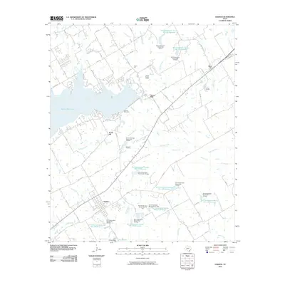
2010 Map of Dawson
USGS Topo · Published 2010About this map
Navarro Mills Lake dominates the northwest corner of this 2010 survey, held back by the Navarro Mills Dam. The landscape of western Navarro County is defined by a dense network of water management features, including over a dozen Soil Conservation Service reservoirs and dams that protect the drainage basins of Richland Creek and Battle Creek. The town of Dawson sits at the southern edge of the map, serving as a hub for local routes like FM 709 and FM 638. Smaller communities and rural landmarks such as Alliance Hall, Spring Hill, and Silver City are scattered throughout the region. Genealogists will find historical value in sites like Younger Cemetery and Spring Hill Cemetery, which reflect the early settlement patterns of this central Texas agricultural and ranching corridor.
Find a feature on this map
79 named features on this map. Tap any name to fly to it.
Don’t see what you’re looking for? This feature index may not catch every label — zoom into the map to look around manually.
Map Details
Editions of this 2010 Dawson Map
This is the sole edition of this map. No revisions or reprints were ever made.
Other maps of this area

1954 · Dallas
USGS Topo · 1:250,000

1954 · Waco
USGS Topo · 1:250,000

1955 · Waco
USGS Topo · 1:250,000

1956 · Hubbard
USGS Topo · 1:24,000

1956 · Dawson
USGS Topo · 1:24,000

1957 · Irene
USGS Topo · 1:24,000

1958 · Dallas
USGS Topo · 1:250,000

1965 · Coolidge
USGS Topo · 1:24,000
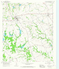
1965 · Blooming Grove
USGS Topo · 1:24,000
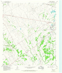
1965 · Corbet
USGS Topo · 1:24,000