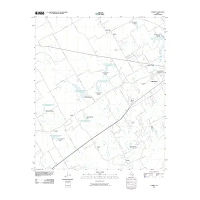
2010 Map of Corbet
USGS Topo · Published 2010About this map
Corsicana and its western rural surroundings are defined by a network of engineered water management and early 21st-century residential expansion. This landscape is characterized by a high concentration of Soil Conservation Service sites, including the Soil Conservation Service Site 140 Reservoir and Soil Conservation Service Site 137a Reservoir, which manage the flow of Briar Creek and Rush Creek across the central plains. For genealogists, the map identifies several local burial grounds, such as Black Hills Cemetery, Cunningham Cemetery, and Marshall Cemetery, providing specific coordinates for family history research.
Find a feature on this map
77 named features on this map. Tap any name to fly to it.
Don’t see what you’re looking for? This feature index may not catch every label — zoom into the map to look around manually.
Map Details
Editions of this 2010 Corbet Map
This is the sole edition of this map. No revisions or reprints were ever made.
Other maps of this area

1954 · Dallas
USGS Topo · 1:250,000

1954 · Waco
USGS Topo · 1:250,000

1955 · Waco
USGS Topo · 1:250,000

1956 · Dawson
USGS Topo · 1:24,000

1958 · Dallas
USGS Topo · 1:250,000

1961 · Chatfield
USGS Topo · 1:24,000

1962 · Emhouse
USGS Topo · 1:24,000

1962 · Cryer Creek
USGS Topo · 1:24,000

1963 · Richland
USGS Topo · 1:24,000
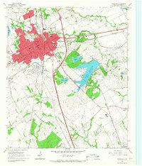
1965 · Corsicana
USGS Topo · 1:24,000