
1963 Map of Richland
USGS Topo · Published 1966About this map
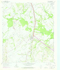
The Richland community serves as a central hub in this section of Navarro County, situated at the junction of the Southern Pacific and the C R I & P / F W & D rail lines. The landscape is defined by the convergence of several waterways, including Richland Creek, Pin Oak Creek, and Little Pin Oak Creek, which wind through a mosaic of woodlots and pastures. Evidence of the local petroleum economy is prominent in the northern reach of the sheet, where the Powell Oil Field and scattered Oil Wells indicate active extraction during the early 1960s.
Find a feature on this map
30 named features on this map. Tap any name to fly to it.
Don’t see what you’re looking for? This feature index may not catch every label — zoom into the map to look around manually.
Map Details
Editions of this 1963 Richland Map
2 editions found
Other maps of this area

1954 · Dallas
USGS Topo · 1:250,000

1954 · Waco
USGS Topo · 1:250,000

1955 · Waco
USGS Topo · 1:250,000

1958 · Dallas
USGS Topo · 1:250,000

1959 · Powell
USGS Topo · 1:24,000

1960 · Streetman
USGS Topo · 1:24,000

1963 · Wortham
USGS Topo · 1:24,000

1963 · Kirvin
USGS Topo · 1:24,000
1965 · Corsicana
USGS Topo · 1:24,000
1965 · Corbet
USGS Topo · 1:24,000