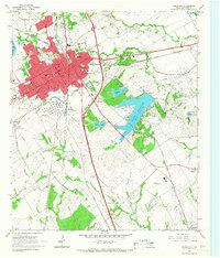
1965 Map of Corsicana
USGS Topo · Published 1967About this map
Corsicana is depicted as a major regional hub during the mid-1960s, defined by its dense rail network and significant energy infrastructure. The city center is anchored by the Courthouse, City Hall, and numerous schools including Jackson High School and Navarro College. The landscape surrounding the city reveals the industrial foundations of the area, with the extensive Powell Oil Field and Angus Oil Field dominating the eastern and southern reaches of the quadrangle.
Find a feature on this map
63 named features on this map. Tap any name to fly to it.
Don’t see what you’re looking for? This feature index may not catch every label — zoom into the map to look around manually.
Map Details
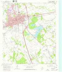
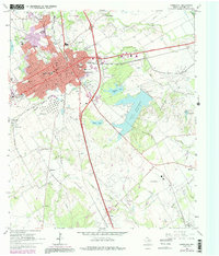
Editions of this 1965 Corsicana Map
Other maps of this area

1954 · Dallas
USGS Topo · 1:250,000

1954 · Waco
USGS Topo · 1:250,000

1955 · Waco
USGS Topo · 1:250,000

1958 · Dallas
USGS Topo · 1:250,000

1959 · Powell
USGS Topo · 1:24,000

1960 · Streetman
USGS Topo · 1:24,000

1961 · Chatfield
USGS Topo · 1:24,000

1962 · Bazette
USGS Topo · 1:24,000

1962 · Emhouse
USGS Topo · 1:24,000

1963 · Richland
USGS Topo · 1:24,000