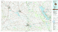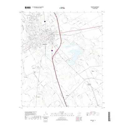
1965 Map of Corsicana
USGS Topo · Published 1979About this map
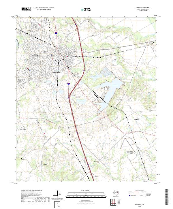
The railroad hub of Corsicana serves as the focal point of this Navarro County landscape, where the Southern Pacific and St Louis Southwestern lines intersect with the Chicago Fort Worth and Denver Rock Island and Pacific. This junction supported a diverse mid-century economy ranging from the Oil Field operations south of town to the Claypit near the Corporate Boundary. Educational and social institutions are well-documented, including Navarro College and the Twilight Home. To the southeast, Lake Halbert provides a major water feature and recreational space with its dedicated Picnic Area and nearby Fleming Boys Camp. Rural life outside the city is marked by family-named landmarks and smaller communities such as Mildred, Pickett, and Angus, alongside several resting places like the Hamilton Beeman Cem and Woodland Cem.
Find a feature on this map
80 named features on this map. Tap any name to fly to it.
Don’t see what you’re looking for? This feature index may not catch every label — zoom into the map to look around manually.
Map Details
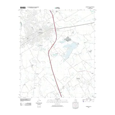
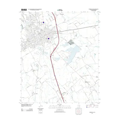
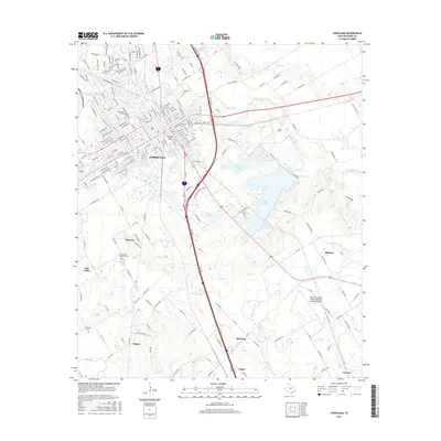
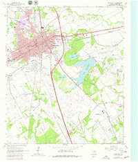
Editions of this 1965 Corsicana Map


Historical Maps of Corsicana Through Time
7 maps found