Old Maps of Normangee, Texas for Academic Research
Study the evolution of Normangee with 15 high-resolution historic maps. Whether you're teaching, researching, or modeling changes in land use, these maps provide essential visual documentation of urban, environmental, and geographic change.
- Analyze long-term change: Track patterns in development, transportation, and natural features.
- Ideal for environmental or urban studies: Support academic projects with primary historical map data.
- Use in the classroom or lab: Educators and researchers rely on these maps to bring historical context to life.
These maps are a powerful tool for teaching, research, and visualizing how Normangee has changed over the decades.
Normangee, TX maps
(15)- 1954 Map of Waco, 1964 Print
 1954 Waco1964 Print · USGSCentral Texas during the mid-fifties shows a landscape defined by the expansion of Fort Hood Military Reservation and the Brazos river system. Trace the rail lines and early airfields like James Connally Air Force Base and settlements like Temple or McGregor.2 unique versions available
 - 1955 Map of Waco
 1955 Waco1955 Print · USGSCentral Texas at the peak of the Cold War reveals a landscape defined by military expansion and major water projects. Researchers can trace the footprints of Fort Hood, the waters of Lake Waco, and regional hubs like Temple or Mexia.
 - 1964 Map of Normangee, 1967 Print
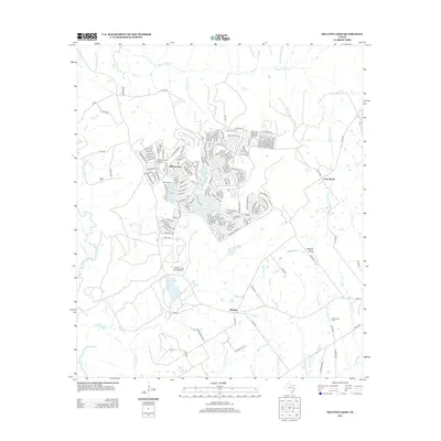
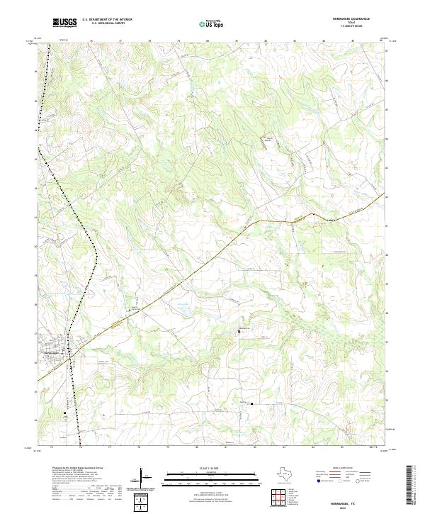
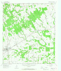 1964 Normangee1967 Print · USGSThe railroad junction at Normangee thrived in the mid-sixties at the crossing of the Fort Worth and Denver and Rock Island lines. Researchers can trace local lineage through Randolph Cem, Tenmile Cem, and the rural Carter Sch.2 unique versions available
 - 1964 Map of Hilltop Lakes, 1967 Print
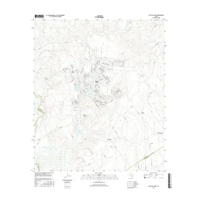
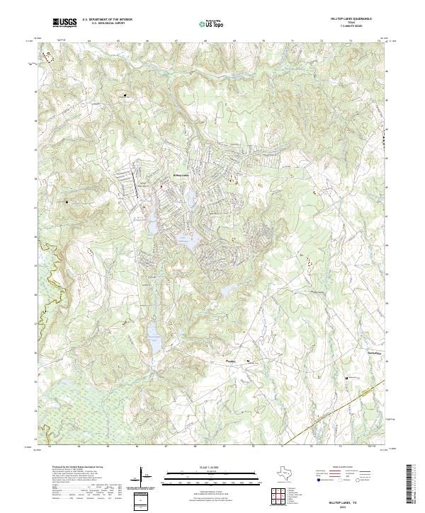
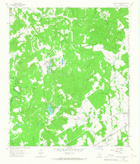 1964 Hilltop Lakes1967 Print · USGSMid-century development meets rural Texas tradition in this Leon County survey as the aviation-themed resort of Hilltop Lakes begins to take shape. Researchers can trace family roots through the Greer Cem and explore the older settlements of Wealthy and Normangee.2 unique versions available
 - 1985 Map of Marlin
 1985 Marlin1985 Print · USGSMid-century Texas agriculture and transit converge here during the mid-1980s, centered on the Brazos River corridor. Genealogists can locate family sites near Tidwell Prairie or trace the Missouri Pacific RR through Bremond and Kosse.2 unique versions available
 - 2010 Map of Hilltop Lakes, 2010 Print
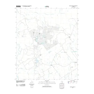 2010 Hilltop Lakes2010 Print · USGSCovers Normangee, including Cross Roads, Hilltop Lakes, and other nearby areas
 - 2010 Map of Normangee, 2010 Print
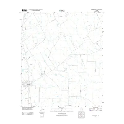
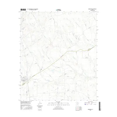
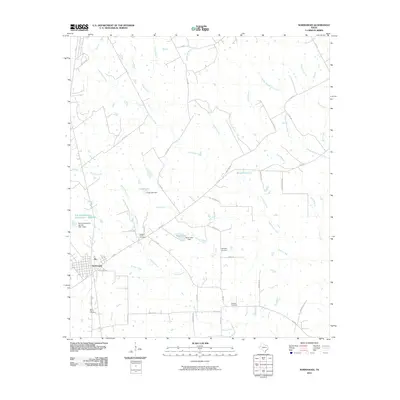 2010 Normangee2010 Print · USGSCovers Normangee, including Leon County, Madison County, and other nearby areas
 - 2013 Map of Hilltop Lakes, 2013 Print
 2013 Hilltop Lakes2013 Print · USGSCovers Normangee, including Cross Roads, Hilltop Lakes, and other nearby areas
 - 2013 Map of Normangee, 2013 Print
 2013 Normangee2013 Print · USGSCovers Normangee, including Leon County, Madison County, and other nearby areas
 - 2016 Map of Normangee, 2016 Print
 2016 Normangee2016 Print · USGSCovers Normangee, including Leon County, Madison County, and other nearby areas
 - 2016 Map of Hilltop Lakes, 2016 Print
 2016 Hilltop Lakes2016 Print · USGSCovers Normangee, including Cross Roads, Hilltop Lakes, and other nearby areas
 - 2019 Map of Normangee, 2019 Print
 2019 Normangee2019 Print · USGSCovers Normangee, including Leon County, Madison County, and other nearby areas
 - 2019 Map of Hilltop Lakes, 2019 Print
 2019 Hilltop Lakes2019 Print · USGSCovers Normangee, including Cross Roads, Hilltop Lakes, and other nearby areas
 - 2022 Map of Normangee, 2022 Print
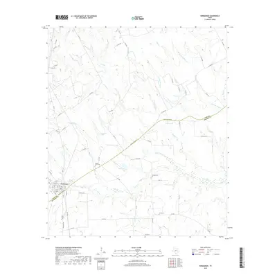
 2022 Normangee2022 Print · USGSThe Texas-Leon county border area is shown in this modern survey during a period of steady ranching and agricultural use. Researchers can trace historic family burial sites at Rogers Prairie Cem and Tenmile Cem or follow the path of the Old San Antonio Rd.
 - 2023 Map of Hilltop Lakes, 2023 Print
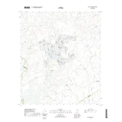
 2023 Hilltop Lakes2023 Print · USGSCentral Texas lake life and rural heritage meet in this study of Leon County. Genealogists and locals can trace family names at Bethesda Cem and Wealthy Cem or explore the developed shores of Lake Tonkawa and Normangee Lake.
End of results
Showing maps 1-15 of 15
Top cities near Normangee
- Madisonville historical maps
- Centerville historical maps
- Marquez historical maps
- Kurten historical maps
- Leona historical maps
Frequently asked questions
- What are the different types of historical maps available for Normangee?
- What is the oldest map of Normangee?
- Where can I purchase historical maps of Normangee for my home or office?
- Where can I download high-res historical maps of Normangee?
- Are there historical topographic maps available for Normangee?
- Is there historical aerial imagery available for Normangee?
- Where are historical maps of Normangee sourced from?