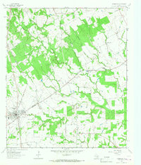
1964 Map of Normangee
USGS Topo · Published 1967About this map
Normangee serves as the primary hub in this mid-1960s landscape, positioned where the Chicago Rock Island And Pacific and Fort Worth And Denver railroads intersect. The area is defined by a series of family and community-named landmarks that trace the social fabric of eastern Texas, including the Rodgers Prairie Cem and the Carter Sch. Numerous rural houses and small churches like Galilee Ch and Union Ch are scattered among the drainages of Caney Creek and Rocky Branch.
Find a feature on this map
33 named features on this map. Tap any name to fly to it.
Don’t see what you’re looking for? This feature index may not catch every label — zoom into the map to look around manually.
Map Details
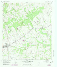
Editions of this 1964 Normangee Map
2 editions found
Other maps of this area

1925 · Iola No 2
USGS Topo · 1:48,000

1931 · Iola
USGS Topo · 1:62,500

1953 · Palestine
USGS Topo · 1:250,000

1954 · Waco
USGS Topo · 1:250,000

1954 · Beaumont
USGS Topo · 1:250,000

1954 · Austin
USGS Topo · 1:250,000

1955 · Waco
USGS Topo · 1:250,000

1957 · Beaumont
USGS Topo · 1:250,000

1957 · Palestine
USGS Topo · 1:250,000

1963 · Madisonville
USGS Topo · 1:24,000